Chesham Bois / Cestreham / Cestresham / Chesham Boys
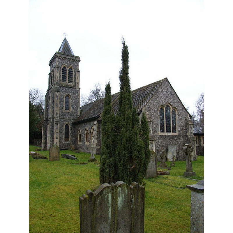
Image copyright © Andrew Smith, 2006
CC-BY-SA-2.0
Results: 1 records
view of church exterior - southeast view
Copyright Statement: Image copyright © Andrew Smith, 2006
Image Source: digital photograph taken 19 February 2006 by Andrew Smith [www.geograph.org.uk/photo/125713] [accessed 3 October 2015]
Copyright Instructions: CC-BY-SA-2.0
INFORMATION
Font ID: 14456CHE
Object Type: Baptismal Font1
Font Date: ca. 1213?
Font Century and Period/Style: 13th century (early?), Early English
Church / Chapel Name: Parish Church of St. Leonard
Font Location in Church: [cf. FontNotes]
Church Patron Saint(s): St. Leonard
Church Notes: chapel of St. Leonard documented here by 1213; present church is 14thC; restored 1884; extended 1911
Church Address: High Bois Lane, Chesham Bois, Buckinghamshire, HP6 6DG
Site Location: Buckinghamshire, South East, England, United Kingdom
Directions to Site: Located off the A416, 2 km NNE of Amersham, 2 km S of Chesham
Ecclesiastic Region: Diocese of Oxford
Historical Region: Hundred of Burnham
Additional Comments: disappeared font? (the one from the ca. 1213 church here)
Font Notes:
Click to view
No entry found for Chesham Bois in the Domesday survey. Rickman (1850) and Sheahan (1862) report a modern font in this medieval church. The Victoria County History (Buckingham, vol. 3, 1925) notes: "The chapel of St. Leonard, Chesham Bois, was appurtenant to that half of Chesham Church appropriated to the abbey of St. Mary Pré, Leicester, and as such was claimed in 1213 by William Abbot of Leicester against William du Bois, lord of the manor. [...] The font probably dates from the 18th century." The Parish web page [www.stleonardscb.org.uk/about-us/history-/st-leonards-church-building-in-high-bois-lane.php] [accessed 2 November 2015] informs: "The font, like the lectern, is 20th century and replaces a marble font given by the Rector of Amersham in 1882 which became damaged." [NB: the VCH [cf. supra] reports a chapel here by 1213, but we have no information on the original baptismal font of the medieval church].
COORDINATES
UTM: 30U 665919 5729132
Latitude & Longitude (Decimal): 51.6886, -0.5996
Latitude & Longitude (DMS): 51° 41′ 18.96″ N, 0° 35′ 58.56″ W
MEDIUM AND MEASUREMENTS
Material: stone
REFERENCES
- Victoria County History [online], University of London, 1993-. URL: https://www.british-history.ac.uk.
- Great Britain. Royal Commission on Historical Monuments (England), An inventory of the historical monuments in Buckinghamshire, London: H.M. Stationary Office, 1912-, p. 101
- Parker, John Henry, The Ecclesiastical and architectural topography of England: Oxfordshire, Oxford, London: Published under the sanction of the Central Commitee of the Archaeological Institute of Great Britain and Ireland [by] John Henry Parker, 1850, [entry no.] 40
- Sheahan, James Joseph, History and topography of Buckinghamshire, comprising a general survey of the county, preceded by an epitome of the early history of Great Britain, London; Pontefract: Longman, Green, Longman, and Roberts; William Edward Bonas [...], 1862, p. 843