Horton nr. Northampton / Hortone / Hortun
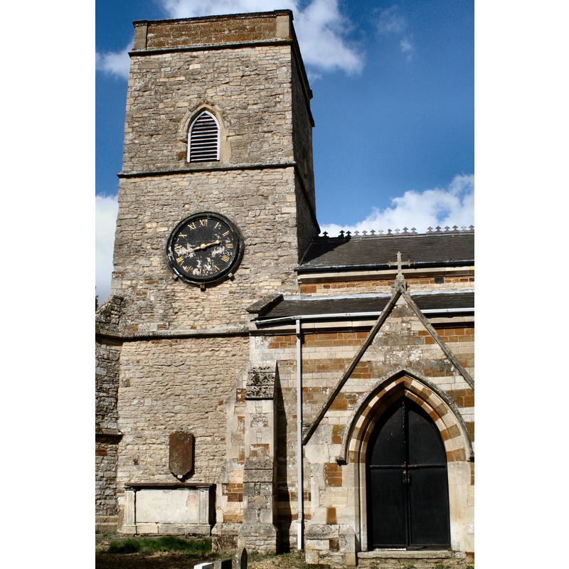
Image copyright © R Neil Marshman, 2006
CC-BY-SA-3.0
Results: 1 records
view of church exterior - southwest end
Copyright Statement: Image copyright © R Neil Marshman, 2006
Image Source: digital photograph taken14 April 2006 by R Neil Marshman [http://en.wikipedia.org/wiki/File:HortonChurch.JPG] [accessed 4 June 2012]
Copyright Instructions: CC-BY-SA-3.0
INFORMATION
Font ID: 14454HOR
Object Type: Baptismal Font1?
Font Century and Period/Style: 13th century, Medieval
Church / Chapel Name: Parish Church of St. Mary Magdalene [some sources have St. Mary the Virgin's] -- [church closed since 2012]
Church Patron Saint(s): St. Mary Magdalene [St. Mary the Virgin?]
Church Notes: the VCH entry [cf. FontNotes] has dedication to St. Mary the Virgin, but the CofE [www.achurchnearyou.com/horton-st-mary-magdalene/] [has Mary Magdalene] -- church redundant; closed since 2012
Site Location: Northamptonshire, East Midlands, England, United Kingdom
Directions to Site: Located on the B526, near Hackleton, 9 km SSE of Northampton
Ecclesiastic Region: Diocese of Peterborough
Historical Region: Hundred of Wymersley
Additional Comments: disappeared font? (the medieval font) -- disused font (the 18th-cent one in the churchyard)
Font Notes:
Click to view
There are four entries for this Horton [variant spelling] in the Domesday survey [http://opendomesday.org/place/SP8154/horton/] [accessed 11 November 2015], none of which mentions cleric or church in it. The Victoria County History (Northampton, vol. 4, 1937) notes on this church: "With the exception of the nave arcade, and in a less degree of the tower, which are of early-14th-century date, the fabric retains very little ancient work [...] The font in use is modern and of an elaborate Gothic character: the 18th-century marble font, of good design, is in the churchyard." [NB: we have no information on the original font of this 13th-century church]. [NB: the British Listed buildings entry for Hackleton [www.britishlistedbuildings.co.uk/en-235505-church-of-st-mary-former-font-approximat] [accessed 4 June 2012] [original source English Heritage] reports "Former Font Approximately 4 Metres West of Tower, Hackleton: Bird-bath, formerly font. Early-mid C18. Veined marble. Oval plinth, 4 slender volutes supporting oval bowl", which may be the 18th-century font reported in the churchyard in the VCH].
COORDINATES
UTM: 30U 650168 5783331
Latitude & Longitude (Decimal): 52.179983, -0.803623
Latitude & Longitude (DMS): 52° 10′ 47.94″ N, 0° 48′ 13.04″ W
REFERENCES
- Victoria County History [online], University of London, 1993-. URL: https://www.british-history.ac.uk.