Edgcote / Hocecote
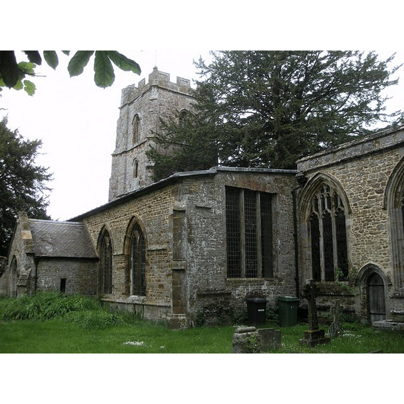
Image copyright © Ian Rob, 2010
CC-BY-SA-2.0
Results: 2 records
view of church exterior - southeast view
Copyright Statement: Image copyright © Ian Rob, 2010
Image Source: digital photograph taken 5 June 2010 by Ian Rob [www.geograph.org.uk/photo/1898964] [accessed 14 January 2016]
Copyright Instructions: CC-BY-SA-2.0
view of church exterior - west view
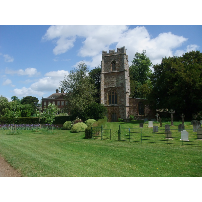
Copyright Statement: Image copyright © Tim Heaton, 2011
Image Source: digital photograph taken 22 May 2011 by Tim Heaton [www.geograph.org.uk/photo/2485800] [accessed 14 January 2016]
Copyright Instructions: CC-BY-SA-2.0
INFORMATION
Font ID: 14419EDG
Object Type: Stoup
Font Century and Period/Style: 13th century (early?), Early English
Church / Chapel Name: Parish Church of St. James
Font Location in Church: wall-mounted by the W entrance
Church Patron Saint(s): St. James
Church Address: Edgcote, Northamptonshire OX17 1AG
Site Location: Northamptonshire, East Midlands, England, United Kingdom
Directions to Site: Located off (E) the A361, SE of Chipping Warden, 9 km NE of Banbury
Historical Region: Hundred of Warden
Additional Comments: disappeared font? (the one from the early-13thC church here)
Font Notes:
Click to view
There is an entry for Edgcote [variant spelling] in the Domesday survey [http://opendomesday.org/place/SP5047/edgcote/] [accessed 14 January 2016], but it mentions neither cleric nor church in it. There is a holy-water stoup in an arched recess by the west entrance. There are two fonts in this church, both modern; the 18th-century font, now disused is made of alabaster in the shape of an urn; the font in use appears Victorian. [NB: we have no information on the original font of the early-13th century church here]
COORDINATES
UTM: 30U 618753 5776596
Latitude & Longitude (Decimal): 52.127119, -1.265192
Latitude & Longitude (DMS): 52° 7′ 37.63″ N, 1° 15′ 54.69″ W