Earls Barton / Barton / Barton Yarles
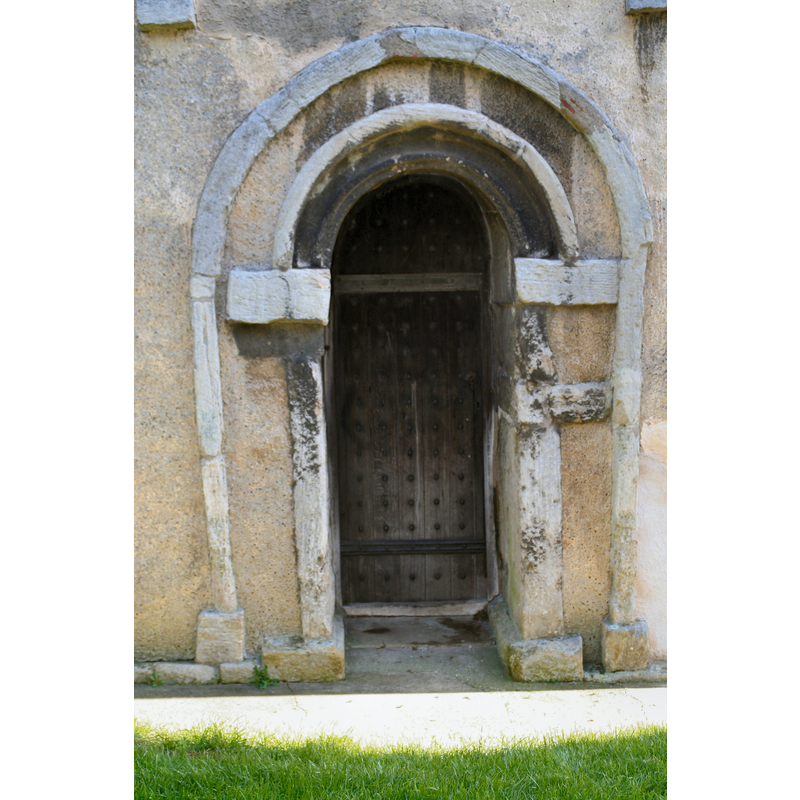
Image copyright © R Neil Marshman, 2005
CC-BY-SA-3.0
Results: 3 records
view of church exterior - door
Scene Description: said to be of Anglo-Saxon times
Copyright Statement: Image copyright © R Neil Marshman, 2005
Image Source: digital photograph taken 19 November 2005 by R Neil Marshman [http://en.wikipedia.org/wiki/File:SaxonDoor.JPG] [accessed 30 May 2012]
Copyright Instructions: CC-BY-SA-3.0
view of church exterior - southeast view
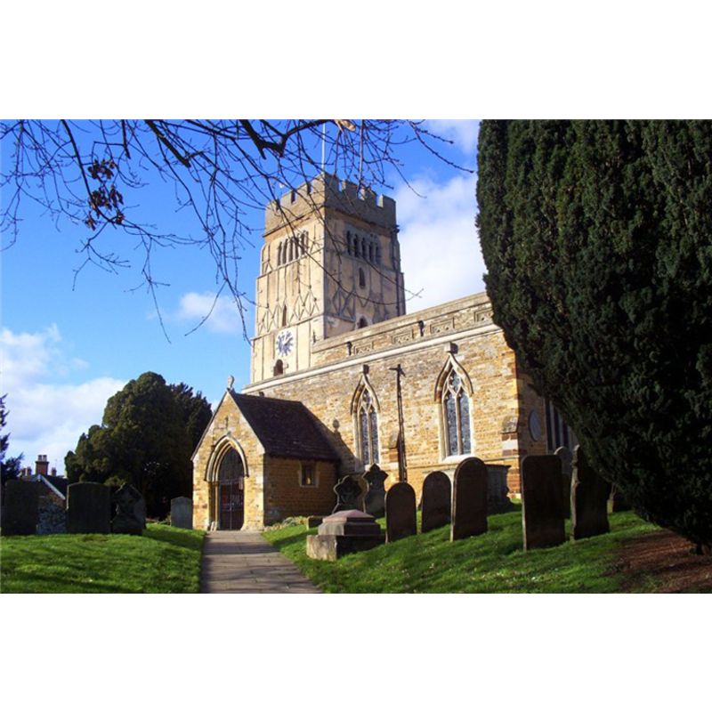
Copyright Statement: Image copyright © [in the public domain]
Image Source: digital photograph taken 16 February 2006 by kev747 [http://en.wikipedia.org/wiki/Earls_Barton] [accessed 30 May 2012]
Copyright Instructions: Released by its author into the public domain
view of font and cover

Scene Description: the modern font [cf. FontNotes
Copyright Statement: Image copyright © ChurchCrawler [Phil Draper], 2010
Image Source: digital photograph itaken August 2010 by ChurchCrawler [Phil Draper] [www.flickr.com/photos/churchcrawler/5042404516/] [accessed 30 May 2012]
Copyright Instructions: PERMISSION NOT AVAILABLE -- IMAGE NOT FOR PUBLIC USE
INFORMATION
Font ID: 14406EAR
Object Type: Baptismal Font1?
Font Century and Period/Style: 10th - 11th century, Pre-Conquest? / Norman?
Church / Chapel Name: Parish Church of All Saints
Church Patron Saint(s): All Saints
Church Address: Earls Barton, Northamptonshire, NN6 0JG
Site Location: Northamptonshire, East Midlands, England, United Kingdom
Directions to Site: Located on the B573, 2 km N of Castle Ashby
Ecclesiastic Region: Diocese of Peterborough
Historical Region: Hundred of Hamfordshoe
Additional Comments: disappeared font? (from the late-Saxon church here?)
Font Notes:
Click to view
The Victoria County History (Northamptonshire, vol. 4, 1937): "The church is of exceptional interest as possessing a late Saxon tower which is generally agreed to be both the finest existing specimen of pre-Conquest work [...] and the most noteworthy architectural monument of its period in England [...] The font dates from 1877 and is in the 13th-century style." [NB: the church itself goes back to the 10th century Anglo-Saxon period, but we have no information on the earlier font(s) of this church]
COORDINATES
UTM: 30U 653310 5792983
Latitude & Longitude (Decimal): 52.265833, -0.753333
Latitude & Longitude (DMS): 52° 15′ 57″ N, 0° 45′ 12″ W
MEDIUM AND MEASUREMENTS
Material: stone
REFERENCES
- Victoria County History [online], University of London, 1993-. URL: https://www.british-history.ac.uk.