Denford / Deneford / Deneforde
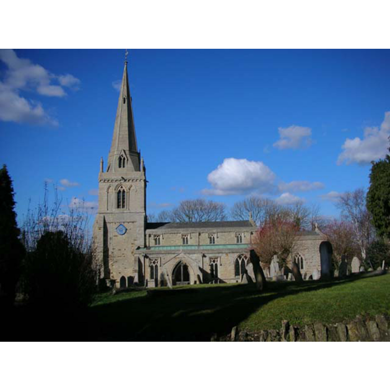
Image copyright © Will Lovell, 2006
CC-BY-SA-3.0
Results: 1 records
view of church exterior - south view
Copyright Statement: Image copyright © Will Lovell, 2006
Image Source: digital photograph taken 1 March 2006 by Will Lovell [www.geograph.org.uk/photo/130474] [accessed 22 May 2012]
Copyright Instructions: CC-BY-SA-3.0
INFORMATION
Font ID: 14399DEN
Object Type: Baptismal Font1
Font Century and Period/Style: 13th century (late?), Medieval
Church / Chapel Name: Parish Church of the Holy Trinity
Font Location in Church: [disappeared?]
Church Patron Saint(s): The Holy Trinity
Church Address: Church Lane, Denford, Northamptonshire NN14 4ED
Site Location: Northamptonshire, East Midlands, England, United Kingdom
Directions to Site: Located off (W) the A604, 2 km S of Thrapston
Ecclesiastic Region: Diocese of Peterborough
Historical Region: Hundred of Huxloe
Additional Comments: disappeared font? -- moved font? [cf. FontNotes]
Font Notes:
Click to view
Parker (1849) writes: "The Font, against the second north pier, is an octagonal bason resting on a cube bevelled at the upper angles". The Victoria County History (Northampton, vol. 3, 1930) remarks on the original date of the church: "The building belongs generally to the later part of the 13th century, c. 1275–90, but the lower stage of the tower and some other features appear to be rather earlier", but adds that the font is modern. [NB: a font from this church, one made ca. 1830, appears to have been moved ca. 1912 to Hungerford Newtown, Berkshire [cf. Index entry]]. The Hungerford Virtual Museum [www.hungerfordvirtualmuseum.co.uk/index.html] [accessed 22 May 2012] entry for this church includes an additional note by Peter Wyatt in the Parish Magazine: "Once in the church the one bell was rung via a rope in the vestry, at the base of the tower. There was, however, a lectern, pulpit and font, in addition to the altar. The font was in the shape of an angel holding a scallop shell, carved in either stone or marble."
COORDINATES
UTM: 30U 667108 5805946
Latitude & Longitude (Decimal): 52.378249, -0.544878
Latitude & Longitude (DMS): 52° 22′ 41.69″ N, 0° 32′ 41.56″ W
REFERENCES
- Victoria County History [online], University of London, 1993-. URL: https://www.british-history.ac.uk.
- Parker, John Henry, Architectural notices of the churches of the Archdeaconry of Northampton: Deaneries of Higham Ferrers and Haddon, London; Oxford: John Henry Parker, 1849, p. 79