Stoke Bruerne / Stoche / Stokbruer
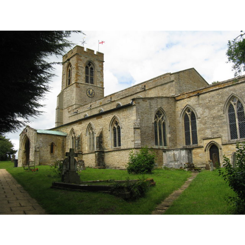
Image copyright © MJ Richardson, 2011
CC-BY-SA-3.0
Results: 1 records
view of church exterior - southeast view
Scene Description: EXT SE digital photograph taken 21 June 2011 by M J Richardson [www.geograph.org.uk/photo/2472376] [accessed 11 June 2012]
Copyright Statement: Image copyright © MJ Richardson, 2011
Image Source: digital photograph taken 21 June 2011 by M J Richardson [www.geograph.org.uk/photo/2472376] [accessed 11 June 2012]
Copyright Instructions: CC-BY-SA-3.0
INFORMATION
Font ID: 14358BRU
Object Type: Baptismal Font1
Font Century and Period/Style: 13th - 14th century, Medieval
Church / Chapel Name: Parish Church of St. Mary the Virgin
Font Location in Church: Inside the church
Church Patron Saint(s): St. Mary the Virgin
Church Address: Church Lane, Stoke Bruerne, Northamptonshire NN12 7SA
Site Location: Northamptonshire, East Midlands, England, United Kingdom
Directions to Site: Located E of Easton Neston, S of Blisworth, not far from Paulerspury and Alderton, 11 km S of Northampton, 16 km N of Milton Keynes
Ecclesiastic Region: Diocese of Peterborough
Historical Region: Hundred of Cleley
Additional Comments: disappeared font? (the one from the Domesday-time church here)
Font Notes:
Click to view
The Victoria County Histroy (Northamptonshire, vol. 5, 2002) notes: "There was a priest at Stoke Bruerne in 1086 [...] The tower, except for its Perpendicular top stage, is probably of the early 12th century [...] The arch between tower and nave is of c. 1200 […] The plain octagonal font is perhaps of the 13th or 14th century."
COORDINATES
UTM: 30U 642417 5778903
Latitude & Longitude (Decimal): 52.142254, -0.918763
Latitude & Longitude (DMS): 52° 8′ 32.11″ N, 0° 55′ 7.55″ W
MEDIUM AND MEASUREMENTS
Material: stone
Font Shape: octagonal, mounted
Basin Interior Shape: round
Basin Exterior Shape: octagonal
REFERENCES
- Victoria County History [online], University of London, 1993-. URL: https://www.british-history.ac.uk.