Kirtlington / Certelintone / Chertelintone / Cortelintone
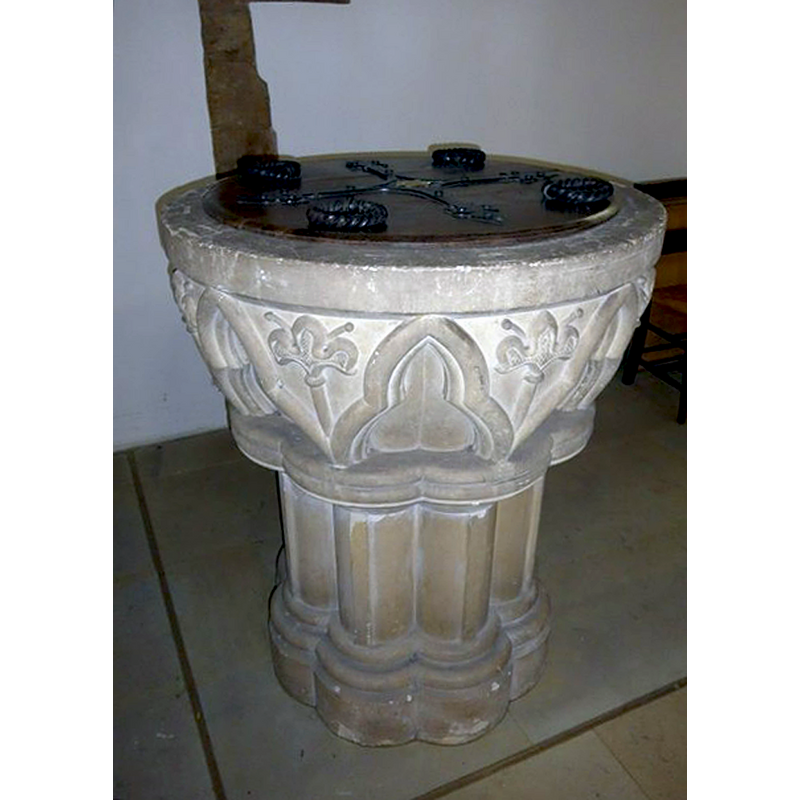
Image copyright © Basher Eyre, 2015
CC-BY-SA-2.0
Results: 3 records
view of font and cover
Scene Description: the modern font [cf. FontNotes]
Copyright Statement: Image copyright © Basher Eyre, 2015
Image Source: digital photograph taken 21 September 2015 by Basher Eyre [www.geograph.org.uk/photo/4796464] [accessed 12 July 2016]
Copyright Instructions: CC-BY-SA-2.0
view of church exterior - north view
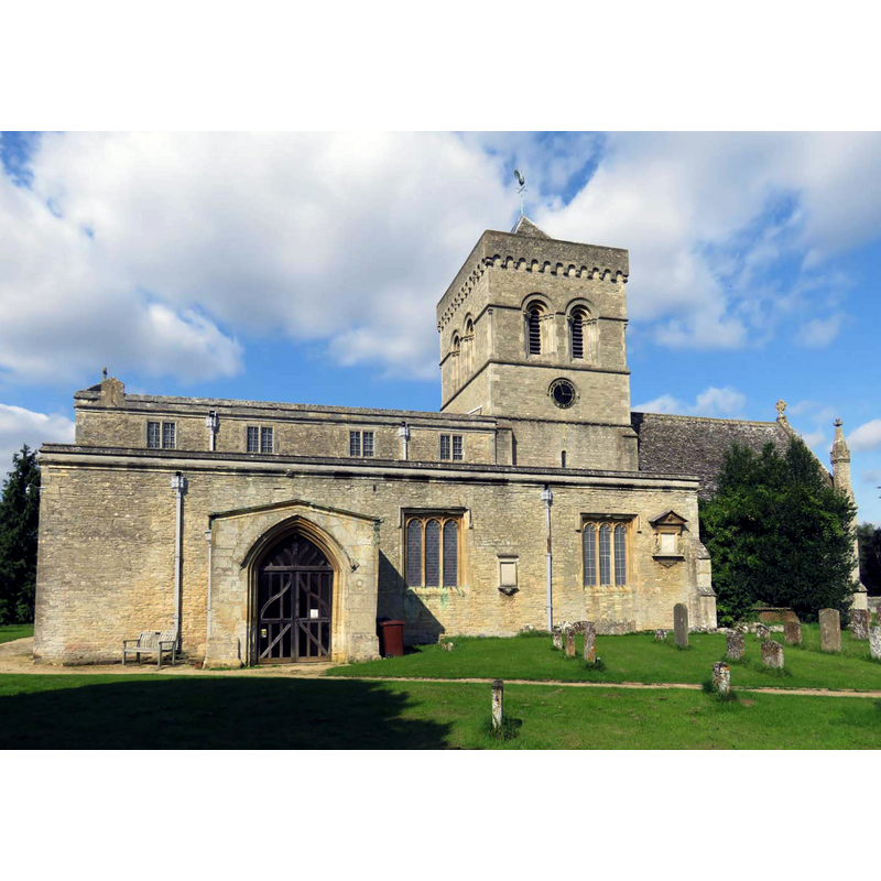
Copyright Statement: Image copyright © Steve Daniels, 2015
Image Source: digital photograph taken 7 September 2015 by Steve Daniels [www.geograph.org.uk/photo/4657663] [accessed 12 July 2016]
Copyright Instructions: CC-BY-SA-2.0
view of church exterior - southwest view
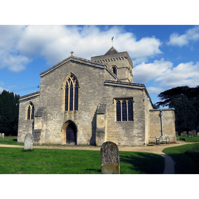
Copyright Statement: Image copyright © Steve Daniels, 2015
Image Source: photograph taken 7 September 2015 by Steve Daniels [www.geograph.org.uk/photo/4657661] [accessed 12 July 2016]
Copyright Instructions: CC-BY-SA-2.0
INFORMATION
Font ID: 14312KIR
Object Type: Baptismal Font1?
Font Century and Period/Style: 10th - 11th century, Pre-Conquest
Church / Chapel Name: Parish Church of St. Mary
Church Patron Saint(s): St. Mary the Virgin
Church Address: Church Lane, Kirtlington, Oxfordshire OX5 3HA
Site Location: Oxfordshire, South East, England, United Kingdom
Directions to Site: Located on the B4095, 16 km N of Oxford
Ecclesiastic Region: Diocese of Oxford
Historical Region: Hundred of Kirtlington [in Domesday] -- Hundred of Ploughley
Additional Comments: disappeared font(s)? (the one from the pre-Conquest church here)
Font Notes:
Click to view
There are four entries for Kirtlington [variant spelling] in the Domesday survey [http://opendomesday.org/place/SP5019/kirtlington/] [accessed 12 July 2016], none of which mentions a church in it; one part of the four had a priest as lord and tenent in chief in 1086, so there may have been a church here at the time. The Victoria County History (Oxford, vol. 6, 1959) notes: "There can be little doubt that there was a Saxon church at Kirtlington, which was an important royal manor, but the earliest indication of its existence comes from Domesday Book." [...] The tympanum now over the vestry doorway is early 12th century [...] Between 1852 and 1854 the church was restored [...] The work included the building of the present tower (architect Benjamin Ferrey), the erection of internal and external buttresses to support the wall of the north aisle, the removal of the gallery and the old square pews, paving with Minton tiles, and the installation of a new font." [NB: we have no information on the baptismal font of the early church here].
COORDINATES
UTM: 30U 618798 5748165
Latitude & Longitude (Decimal): 51.8716, -1.2744
Latitude & Longitude (DMS): 51° 52′ 17.76″ N, 1° 16′ 27.84″ W
REFERENCES
- Victoria County History [online], University of London, 1993-. URL: https://www.british-history.ac.uk.