Hardwick with Weedon nr. Aylesbury / Hardewiche / Harduich / Hardvic / Hardwycke / Herdwik / Herdyngwyk
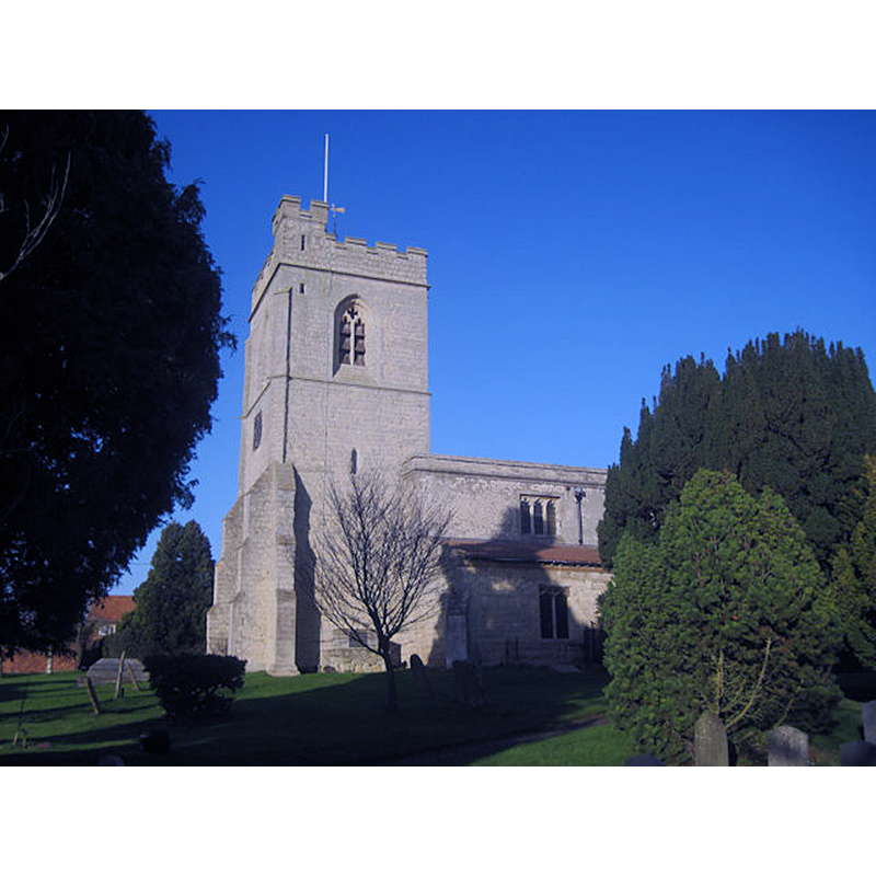
Image copyright © John Firth, 2011
CC-BY-SA-2.0
Results: 3 records
view of church exterior - southwest end
Copyright Statement: Image copyright © John Firth, 2011
Image Source: digital photograph taken 22 December 2011 by John Firth [www.geograph.org.uk/photo/2743007] [accessed 18 November 2015]
Copyright Instructions: CC-BY-SA-2.0
view of church interior - chancel
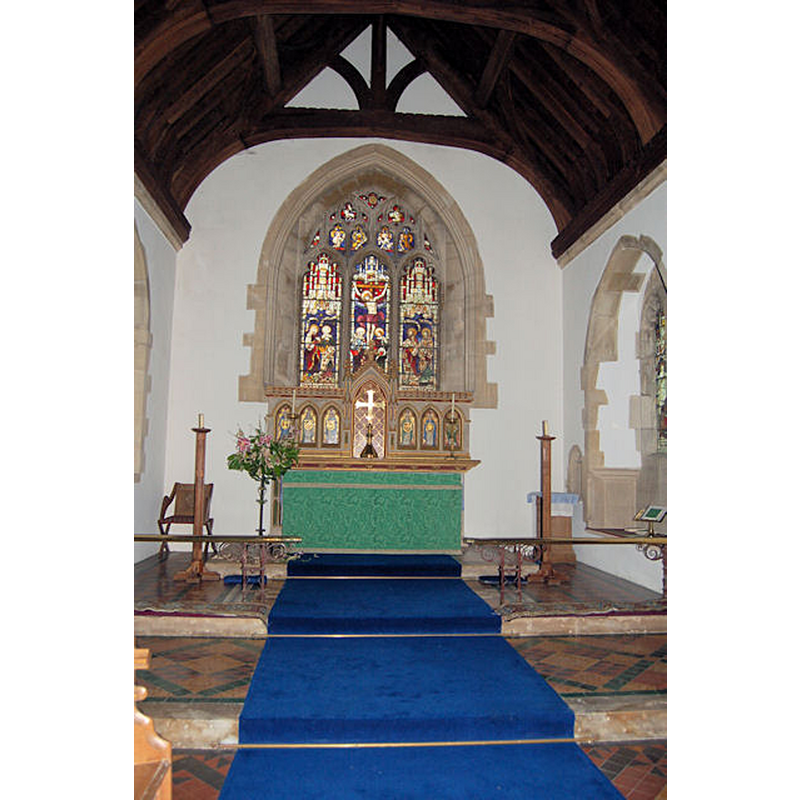
Copyright Statement: Image copyright © John Firth, 2008
Image Source: digital photograph taken 25 July 2008 by John Firth [www.geograph.org.uk/photo/904455] [accessed 18 November 2015]
Copyright Instructions: CC-BY-SA-2.0

Copyright Statement: Image copyright © greentool2002, 2011
Image Source: digital photograph taken 24 April 2011 by greentool2002 [www.flickr.com/photos/greentool2002/5665768615/in/photostream]
Copyright Instructions: PERMISSION NOT AVAILABLE -- IMAGE NOT FOR PUBLIC VIEW
INFORMATION
Font ID: 14308HAR
Object Type: Baptismal Font1, basin only?
Font Century and Period/Style: 11th century, Pre-Conquest? / Norman
Church / Chapel Name: Parish Church of St. Mary the Virgin
Font Location in Church: [cf. FontNotes]
Church Patron Saint(s): St. Mary the Virgin
Church Address: Lower Road, Hardwick, Buckinghamshire HP22 4DT
Site Location: Buckinghamshire, South East, England, United Kingdom
Directions to Site: Located on the A413, 6-7 km N of Aylesbury
Ecclesiastic Region: Diocese of Oxford
Historical Region: Hundred of Cottesloe [in Domesday]
Additional Comments: disused font? / disappeared font? [cf. FontNotes]
Font Notes:
Click to view
There are three entries for this Hardwick [variant spelling] in the Domesday survey [http://opendomesday.org/place/SP8019/hardwick/] [accessed 18 November 2015], none of which mentions cleric or church in it [cf. infra]. Parker (1850) reports: "Font a circular bowl on shafts of like form" in this church. Sheahan (1862) reports a cup-shaped font in this church. The Victoria County History (Buckingham, vol. 3, 1925) informs: "Hardwick Church was given to Bermondsey Priory in 1092 by Wynebald de Baalun and Roger his son. [...] The small window over the north doorway suggests that the walls of the nave may be of pre-conquest date. The south aisle was probably added about 1350 [...] The tower was apparently built earlier in the 14th century, but the upper part seems to have been rebuilt and the west window inserted during the next century. The chancel was also rebuilt early in the 15th century [...] The church was thoroughly restored in 1872 [...] In the south aisle there is an old stone bowl, said to be that of a former font." [NB: the absence of mention of a church in Domesday need not be taken as fact; priests and churches were only mentioned in the survey if they were relevant to the survey goals].
COORDINATES
UTM: 30U 649383 5748051
Latitude & Longitude (Decimal): 51.863226, -0.830487
Latitude & Longitude (DMS): 51° 51′ 47.62″ N, 0° 49′ 49.75″ W
REFERENCES
- Victoria County History [online], University of London, 1993-. URL: https://www.british-history.ac.uk.
- Parker, John Henry, The Ecclesiastical and architectural topography of England: Oxfordshire, Oxford, London: Published under the sanction of the Central Commitee of the Archaeological Institute of Great Britain and Ireland [by] John Henry Parker, 1850, [entry no.] 75
- Sheahan, James Joseph, History and topography of Buckinghamshire, comprising a general survey of the county, preceded by an epitome of the early history of Great Britain, London; Pontefract: Longman, Green, Longman, and Roberts; William Edward Bonas [...], 1862, p. 682