Chesterton nr. Alwalton / Cestretone / Cestretune
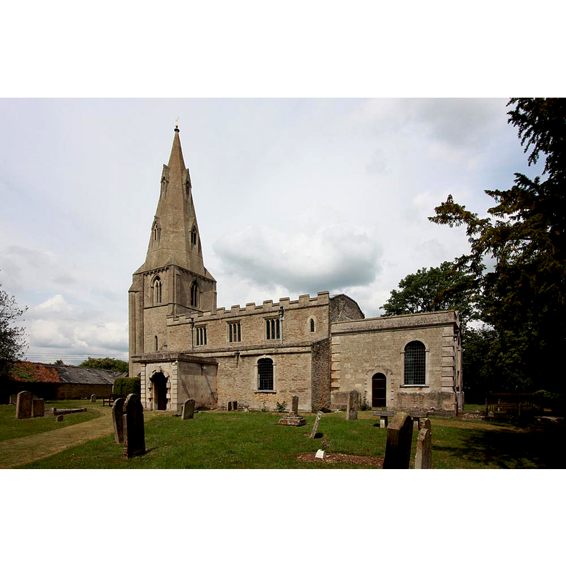
Image copyright © John Salmon, 2011
CC-BY-SA-2.0
Results: 1 records
view of church exterior - south view
Copyright Statement: Image copyright © John Salmon, 2011
Image Source: digital photograph taken 10 June 2011 by John Salmon [www.geograph.org.uk/photo/2466133] [accessed 23 June 2016]
Copyright Instructions: CC-BY-SA-2.0
INFORMATION
Font ID: 14246CHE
Object Type: Baptismal Font1?
Font Century and Period/Style: 11th century, Pre-Conquest? / Norman
Church / Chapel Name: Parish Church of St. Michael
Church Patron Saint(s): St. Michael
Church Address: Oundle Road, Chesterton, Cambridgeshire PE7 3UF, UK
Site Location: Cambridgeshire, East, England, United Kingdom
Directions to Site: Located off (W) the A1, just NW of Orton Waterville, near Alwalton, W of Yaxley, in the western reaches of Peterborough [***NOT TO BE MISTAKEN WITH THE OTHER CHESTERTON IN THIS COUNTY, NEAR CAMBRIDGE]
Ecclesiastic Region: Diocese of Ely
Historical Region: Hundred of Normancross [in Domesday] -- formerly Huntingdonshire
Additional Comments: disappeared font? (the one from the Domesday-time church here)
Font Notes:
Click to view
There are two entries for this Chesterton [variant spelling] in the Domesday survey [http://opendomesday.org/place/TL1295/chesterton/] [accessed 23 June 2016], one of which mentions a priest and a church in it. The Victoria County History (Huntingdon, vol. 3, 1936) notes: "The church is mentioned in the Domesday Survey (1086), but no part of this early church remains"; it further notes that the old church was added on in the 12th through the 14th centuries, and that it "was restored in 1841 and 1906 [...] The font is of poor 18th-century design". [NB: we have no information on the original font of this church]
COORDINATES
UTM: 30U 680401 5824961
Latitude & Longitude (Decimal): 52.544797, -0.339522
Latitude & Longitude (DMS): 52° 32′ 41.27″ N, 0° 20′ 22.28″ W
REFERENCES
- Victoria County History [online], University of London, 1993-. URL: https://www.british-history.ac.uk.