Great Bourton / Bourton Magna
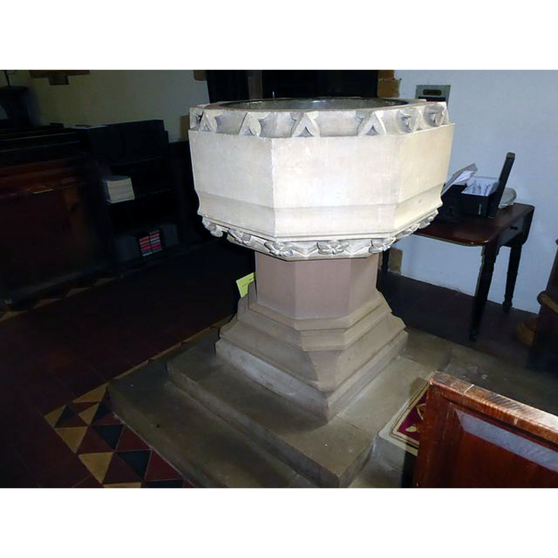
Image copyright © Basher Eyre, 2016
CC-BY-SA-2.0
Results: 3 records
view of font
Scene Description: the modern font -- it is interesting that the makers of the new font chose the dog-tooth motive to decorate the upper rim
Copyright Statement: Image copyright © Basher Eyre, 2016
Image Source: digital photograph taken 31 August 2016 by Basher Eyre [www.geograph.org.uk/photo/5099952] [accessed 8 November 2017]
Copyright Instructions: CC-BY-SA-2.0
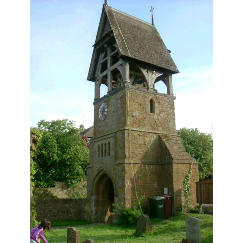
view of church exterior - tower
Copyright Statement: Image copyright © [in the public domain]
Image Source: digital photograph taken 1 June 2006 by Tony Cronin [http://en.wikipedia.org/wiki/File:GB_Tower.jpg] [accessed 29 January 2009]
Copyright Instructions: "I, the copyright holder of this work, hereby release it into the public domain. This applies worldwide"
view of font in context
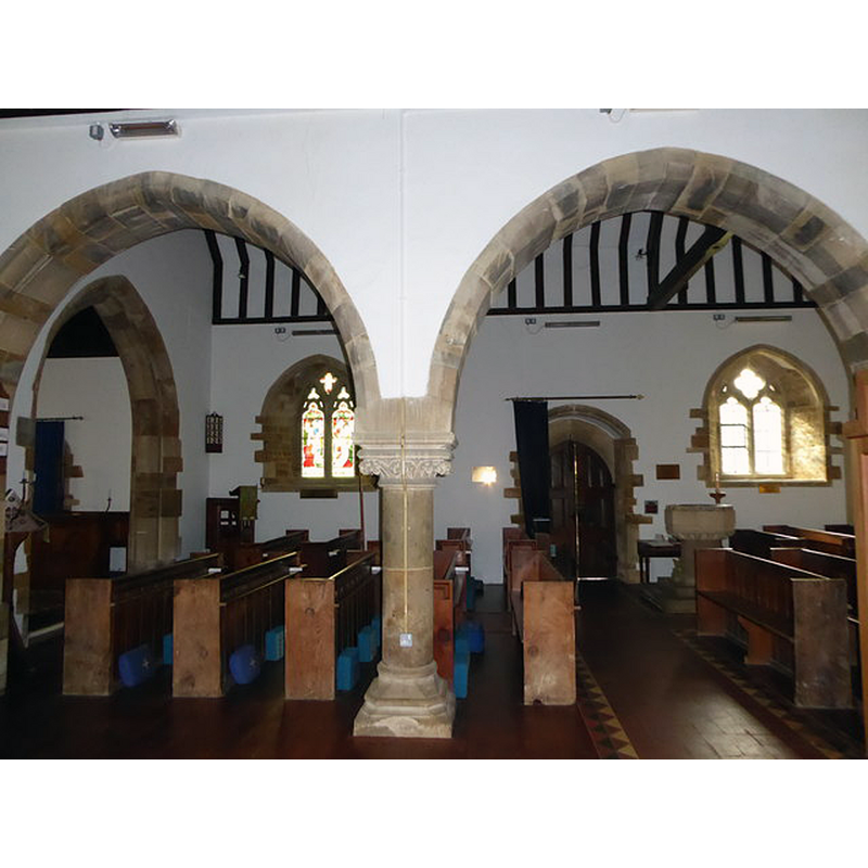
Scene Description: view across the nave; the modern font stands to the west side of the south doorway
Copyright Statement: Image copyright © Basher Eyre, 2016
Image Source: digital photograph taken 31 August 2016 by Basher Eyre [www.geograph.org.uk/photo/5099965] [accessed 8 November 2017]
Copyright Instructions: CC-BY-SA-2.0
INFORMATION
Font ID: 14245BOU
Object Type: Baptismal Font1?
Font Century and Period/Style: 13th century, Early English
Church / Chapel Name: Parish Church of All Saints
Font Location in Church: [cf. FontNotes]
Church Patron Saint(s): All Saints
Church Address: Great Bourton, Banbury OX17 1QW, UK -- Tel.: +44 1295 750980
Site Location: Oxfordshire, South East, England, United Kingdom
Directions to Site: Located off (E) the A423 [aka Southam Rd], 5 km N of Banbury, just SW of Cropredy
Ecclesiastic Region: Diocese of Oxford
Historical Region: Hundred of Banbury
Additional Comments: disappeared font?
Font Notes:
Click to view
The Victoria County History (Oxford, vol. 10, 1972) notes: "The church of All Saints [...] is a small stone building of 13th-century origin [...] it fell out of use in the 16th century [...] It seems that regular services ceased to be held there at or soon after the Reformation, and that the chapel was desecrated
[...] In 1862–3 the church was restored by William White, architect", but does not mention a font in it. There is no font mentioned in Sherwood & Pevsner (1974) either. [NB: it is likely that the original font may have disappeared some time after the 16th century]
[...] In 1862–3 the church was restored by William White, architect", but does not mention a font in it. There is no font mentioned in Sherwood & Pevsner (1974) either. [NB: it is likely that the original font may have disappeared some time after the 16th century]
COORDINATES
UTM: 30U 614070 5774125
Latitude & Longitude (Decimal): 52.1059, -1.3344
Latitude & Longitude (DMS): 52° 6′ 21.24″ N, 1° 20′ 3.84″ W
REFERENCES
- Victoria County History [online], University of London, 1993-. URL: https://www.british-history.ac.uk.