Fyfield nr. Thruxton / Fifede / Fifeld / Fiffehed / Fiffled / Fiffyd / Fifhide / Fifhidon / Fifield / Fiflyde / Fyfhyde
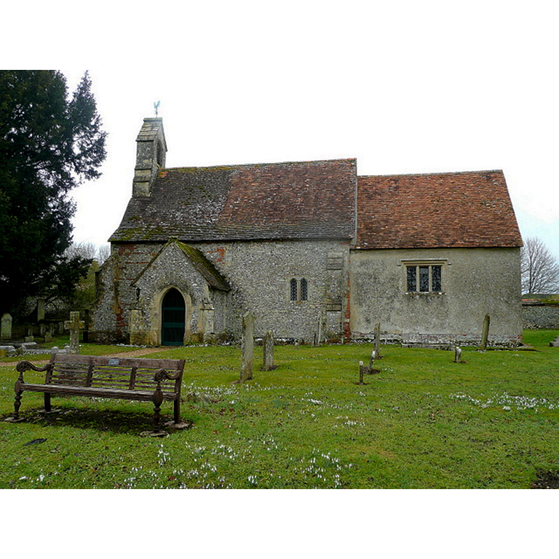
Image copyright © Jonathan Billinger, 2010
CC-BY-SA-2.0
Results: 2 records
view of church exterior - south view
Copyright Statement: Image copyright © Jonathan Billinger, 2010
Image Source: digital photograph taken 16 February 2010 by Jonathan Billinger [www.geograph.org.uk/photo/1778584] [accessed 28 May 2015]
Copyright Instructions: CC-BY-SA-2.0
view of object in context
![Source caption: "The original font in the center of the Memorial Garden". [NB: probably not a font -- cf. FontNotes]](/static-50478a99ec6f36a15d6234548c59f63da52304e5/compressed/1150619036_compressed.png)
Scene Description: Source caption: "The original font in the center of the Memorial Garden". [NB: probably not a font -- cf. FontNotes]
Copyright Statement: Image copyright © Aidan Simons, 2015
Image Source: digital photograph by Aidan Simons [www.stnicholascenter.org/media/gazetteer/europe/british-isles/england-uk/south-east/fyfieldh-font-old.jpg] [accessed 28 May 2015]
Copyright Instructions: No known copyright restriction / Fair Dealing
INFORMATION
Font ID: 14235FYF
Object Type: Baptismal Font1?
Font Century and Period/Style: 11th century, Pre-Conquest? / Norman
Church / Chapel Name: Parish Church of St. Nicholas
Church Patron Saint(s): St. Nicholas of Myra
Church Address: Fyfield, Hampshire SP11 8EL, UK
Site Location: Hampshire, South East, England, United Kingdom
Directions to Site: Located off (N) the A303, just S of Thruxton, 6-7 km W of Andover
Ecclesiastic Region: Diocese of Winchester
Historical Region: Hundred of Andover
Additional Comments: disappeared font? (the one from the Domesday-time church here)
Font Notes:
Click to view
There is an entry for this Fyfield [variant spelling] in the Domesday survey [http://opendomesday.org/place/SU2946/fyfield/] [accessed 28 May 2015]; it mentions a church in it. The Victoria County History (Hampshire, vol. 4, 1911) notes: "There was a church at Fyfield at the time of the Domesday Survey. [...] The building is probably of 12th or 13th-century date, but all early details have been destroyed, and such old work as remains does not go back beyond the 15th century [...] The font is a modern octagonal one of stone. In the rectory garden stands an ancient bowl with rounded sides and leaves at the angles, which is probably a mortar and not a font." [NB: we have no information on the font of the Domesday-time church here].
COORDINATES
UTM: 30U 599254 5674780
Latitude & Longitude (Decimal): 51.215773, -1.578878
Latitude & Longitude (DMS): 51° 12′ 56.78″ N, 1° 34′ 43.96″ W
REFERENCES
- Victoria County History [online], University of London, 1993-. URL: https://www.british-history.ac.uk.