Cottisford / Cotesforde
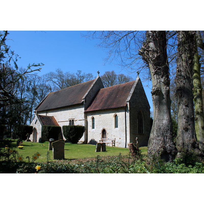
Image copyright © Des Blenkinsopp, 2010
CC-BY-SA-2.0
Results: 1 records
view of church exterior - southeast view
Copyright Statement: Image copyright © Des Blenkinsopp, 2010
Image Source: digital photograph taken 21 April 2010 by Des Blenkinsopp [www.geograph.org.uk/photo/1901234] [accessed 6 December 2016]
Copyright Instructions: CC-BY-SA-2.0
INFORMATION
Font ID: 14218COT
Object Type: Baptismal Font1?
Font Date: ca. 1081?
Font Century and Period/Style: 11th century, Pre-Conquest? / Norman
Church / Chapel Name: Parish Church of St. Mary, Cottisford
Church Patron Saint(s): St. Mary the Virgin
Church Address: Main Street, Cottisford, Oxfordshire NN13 5SW, UK
Site Location: Oxfordshire, South East, England, United Kingdom
Directions to Site: Located just SE of the A43-A421 crossroads, 10 km N of Bicester
Ecclesiastic Region: Diocese of Oxford
Historical Region: Hundred of Kirtlington [in Domesday] -- Hundred of Ploughley
Additional Comments: disappeared font? (the one from the orig pre-1081 church here)
Font Notes:
Click to view
There is an entry for Cottisford [variant spelling] in the Domesday survey [http://opendomesday.org/place/SP5831/cottisford/] [accessed 6 December 2016], but it mentions neither cleric nor church in it. The Victoria County History (Oxford, vol. 6, 1959) notes: "Before 1081 Hugh de Grantmesnil had given the church with the tithes and a hide of land to the abbey of St. Évroul in Normandy [...] In 1167 St. Évroul transferred its Cottisford property to the Norman abbey of Bec [...] The church of St. Mary is a small building dating from the 13th century. It was described in the early 19th century as a 'low mean structure consisting of a tower covered with slate, a nave and chancel'. When Rawlinson visited the church in 1718, he found it very much out of repair and 'very nastily kept by reason of holes and a pigeon house at the west end of it.' [...] restoration was carried out in 1861 by Charles Buckeridge [...] The font was given in 1861 by John Mansfield of Hethe" [NB: we have no information on the font of the original church here].
COORDINATES
UTM: 30U 627285 5759910
Latitude & Longitude (Decimal): 51.975276, -1.146843
Latitude & Longitude (DMS): 51° 58′ 31″ N, 1° 8′ 48.64″ W
REFERENCES
- Victoria County History [online], University of London, 1993-. URL: https://www.british-history.ac.uk.