Prestbury nr. Cheltenham / Preosdabyrig / Presteberie
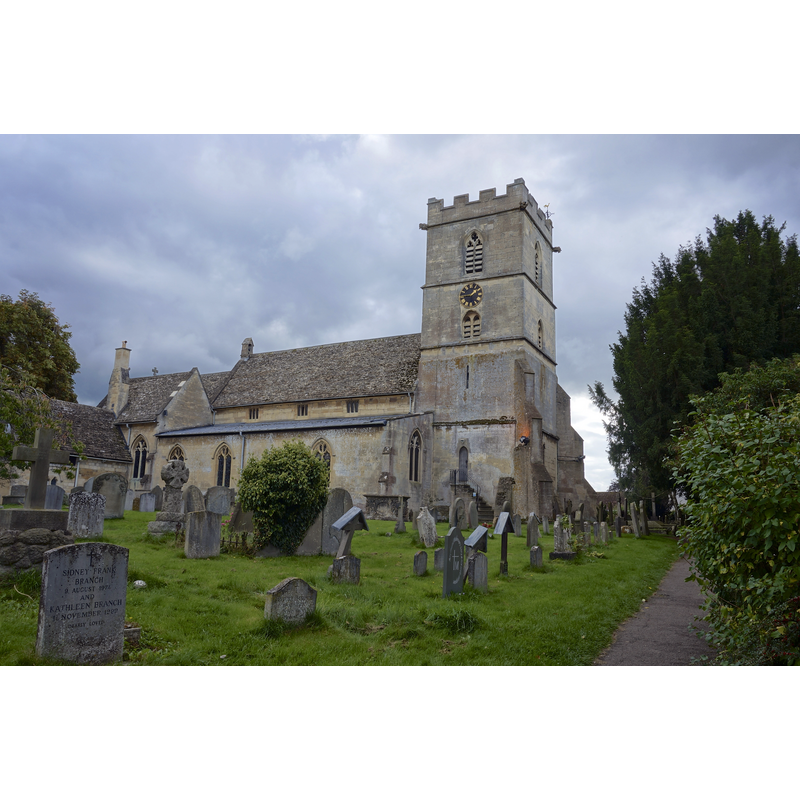
Image copyright © griffp, 2013
CC-BY-SA-2.0
Results: 1 records
view of church exterior - northwest view
Scene Description: Source caption: "St Marys Church, Prestbury. View from Mill Street."
Copyright Statement: Image copyright © griffp, 2013
Image Source: digital photograph taken 5 October 2013 by griffp [https://commons.wikimedia.org/wiki/File:St_Marys_Church_Prestbury.jpg] [accessed 31 January 2019]
Copyright Instructions: CC-BY-SA-2.0
INFORMATION
Font ID: 14188PRE
Object Type: Baptismal Font1
Font Century and Period/Style: 11th century / 14th century, Medieval
Church / Chapel Name: Parish Church of St. Mary
Font Location in Church: [cf. FontNotes]
Church Patron Saint(s): St. Mary the Virgin
Church Address: Mill Street, Prestbury, Gloucestershire, GL52 3BQ, UK -- Tel.: +44 1242 244373
Site Location: Gloucestershire, South West, England, United Kingdom
Directions to Site: Located 2-3 km NE of Cheltenham, and now part of its suburbs
Ecclesiastic Region: Diocese of Prestbury
Historical Region: Hundred of Deerhurst -- Hundred of Cheltenham [in Domesday]
Additional Comments: disappeared font? (was the font replaced in 1864 the original font of the early church here? Was it 14thC?)
Font Notes:
Click to view
There is an entry for Prestbury [variant spelling] in the Domesday survey [https://opendomesday.org/place/SO9723/prestbury/] [accessed 31 January 2019]; it mentions a priest in it, but not a church, though there must have been one there. The entry for this parish in the Victoria County History (Gloucester, vol. 8, 1968) notes: "A priest was recorded at Prestbury in 1086 [...] The church appears to have been largely rebuilt in the 14th century [...] Between 1864 and 1868 the church was thoroughly restored under the direction of G. E. Street. [...] The plain octagonal font was replaced in 1864 by one of coloured marble with inlaid panels". [NB; we have no information on whereabouts of the font(s) of the medieval church here].
COORDINATES
UTM: 30U 565653 5751991
Latitude & Longitude (Decimal): 51.914782, -2.045458
Latitude & Longitude (DMS): 51° 54′ 53.21″ N, 2° 2′ 43.65″ W
MEDIUM AND MEASUREMENTS
Material: stone
Font Shape: octagonal
Basin Exterior Shape: octagonal
REFERENCES
- Victoria County History [online], University of London, 1993-. URL: https://www.british-history.ac.uk.