West Ilsley / Hildeslei / Hislelei / Hisleleu / Hislelev / Westildesle
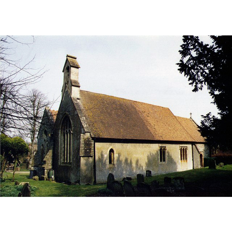
Image copyright © Michael Ford, 2003
CC-BY-SA-2.0
Results: 2 records
view of church exterior - southwest view
Copyright Statement: Image copyright © Michael Ford, 2003
Image Source: photograph taken in 2003 by Michael Ford [www.geograph.org.uk/photo/1539307] [accessed 12 May 2015]
Copyright Instructions: CC-BY-SA-2.0
view of church exterior - northwest view
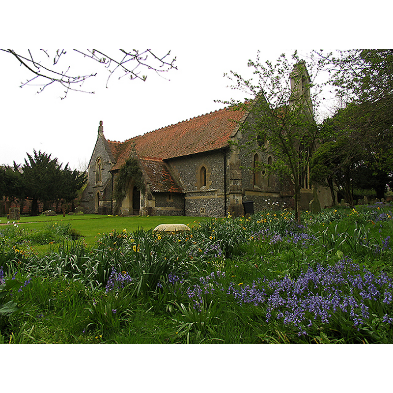
Scene Description: Source caption: "All Saints : West Ilsley. The church is situated in a very attractive village in the north east corner of the south west quadrant of the grid square. The picture was taken from the north side of the church."
Copyright Statement: Image copyright © Pam Brophy, 2005
Image Source: digital photograph taken 24 April 2005 by Pam Brophy [www.geograph.org.uk/photo/5594] [accessed 12 May 2015]
Copyright Instructions: CC-BY-SA-2.0
INFORMATION
Font ID: 14173ILS
Object Type: Baptismal Font1?
Font Century and Period/Style: 13th century, Medieval
Church / Chapel Name: Parish Church of All Saints
Font Location in Church: [cf. FontNotes]
Church Patron Saint(s): All Saints
Church Address: Church Way, West Ilsley, Berkshire, RG20 7AJ, UK
Site Location: Berkshire, South East, England, United Kingdom
Directions to Site: Located 3-4 km NW of East Ilsley [itself located on the A34, 17 km NNW of Newbury (dir. Didcot)]
Ecclesiastic Region: Diocese of Oxford
Historical Region: Hundred of Nakedthorn [in Domesday] -- Hundred of Compton
Additional Comments: disappeared font?
Font Notes:
Click to view
There are four entries for [East and West] Ilsley [variant spelling] in the Domesday survey [http://opendomesday.org/place/XX0000/east-and-west-ilsley/] [accessed 12 May 2015], neither of which mention cleric or church in it. The Victoria County History (Berkshire, vol. 4, 1924) notes: "The advowson of the church of West Ilsley seems to have been vested in the tenants of certain of the fees held under the honour of Leicester in the 13th century, [...] The church has now the appearance of a modern building [...] no mediaeval detail of any description now remains [...] but the absence of ancient buttresses to the walls of the nave [...] as well as the thickness of the original walls suggest work of considerable antiquity [...] The font is modern." [NB: we have no information on the earlier font of this church]
COORDINATES
UTM: 30U 616751 5711155
Latitude & Longitude (Decimal): 51.539409, -1.316507
Latitude & Longitude (DMS): 51° 32′ 21.87″ N, 1° 18′ 59.42″ W
REFERENCES
- Victoria County History [online], University of London, 1993-. URL: https://www.british-history.ac.uk.