Piddington / Petintone
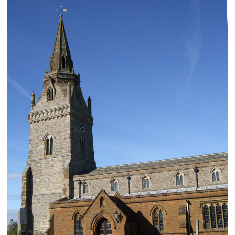
Image copyright © Colin Bates, 2005
CC-BY-SA-3.0
Results: 1 records
view of church exterior - southwest end
Copyright Statement: Image copyright © Colin Bates, 2005
Image Source: digital photograph taken 22 December 2005 by Colin Bates [www.geograph.org.uk/photo/94399] [accessed 5 June 2012]
Copyright Instructions: CC-BY-SA-3.0
INFORMATION
Font ID: 14163PID
Object Type: Baptismal Font1
Font Century and Period/Style: 14th century, Decorated
Church / Chapel Name: Parish Church of St. Nicholas
Font Location in Church: Inside the church
Church Patron Saint(s): St. Nicholas of Myra
Church Address: Thame Road, Piddington, Oxfordshire OX6 0PY, UK
Site Location: Oxfordshire, South East, England, United Kingdom
Directions to Site: Located off (E) the B4011, 9 km SE of Bicester
Ecclesiastic Region: Diocese of Oxford
Historical Region: Hundred of Headington [in Domesday] -- Hundred of Bullingdon
Font Notes:
Click to view
There is an entry for this Piddington [variant spelling] in the Domesday survey [http://opendomesday.org/place/SP6417/piddington/] [accessed 29 November 2016], but it mentions neither cleric nor church in it. The Ecclesiastical and Architectural Topography of England: Oxfordshire (1850) notes: "The font plain, octagonal, cup-shaped, on a slender stem." The Victoria County History (Oxford, vol. 5, 1957) notes: "This building was probably the same as the present church (formerly chapel) of St. Nicholas, which contains late-13th-century work. [...] The well-proportioned chancel dates from about 1300 [...] Restoration undertaken by J. O. Scott was completed in 1898". The VCH entry does not mention a font in this parish. In Sherwood & Pevsner (1974): "Font. Octagonal, Dec[orated]". [NB: the VCH notes also: "Before about 1152 a chapel, dedicated to the Holy Cross, was built by Ralph the hermit on Muswell Hill. [...] served by the vicar of Ambrosden in 1396 [...] the last ruins of his chapel disappeared in 1800."]
COORDINATES
UTM: 30U 632780 5745782
Latitude & Longitude (Decimal): 51.847039, -1.072328
Latitude & Longitude (DMS): 51° 50′ 49.34″ N, 1° 4′ 20.38″ W
MEDIUM AND MEASUREMENTS
Material: stone
Font Shape: octagonal, mounted
Basin Interior Shape: round
Basin Exterior Shape: octagonal
REFERENCES
- Victoria County History [online], University of London, 1993-. URL: https://www.british-history.ac.uk.
- Parker, John Henry, The Ecclesiastical and architectural topography of England: Oxfordshire, Oxford, London: Published under the sanction of the Central Commitee of the Archaeological Institute of Great Britain and Ireland [by] John Henry Parker, 1850, [unpaged -- entry 56] / [http://books.google.ca/books?id=maikb1i3wSUC&pg=PT144&lpg=PT144&dq=longcot+church+font&source=web&ots=p3k5tJJE6J&sig=KYjkm8H5wOoAuH7BvnLp7JqMPus&hl=en&sa=X&oi=book_result&resnum=6&ct=result#PPA17,M1] [accessed 31 December 2008]
- Pevsner, Nikolaus, Oxfordshire, Harmondsworth: Penguin Books, 1974, p. 731