Teffont Magna / Donyngton Teffont / Upper Teffont
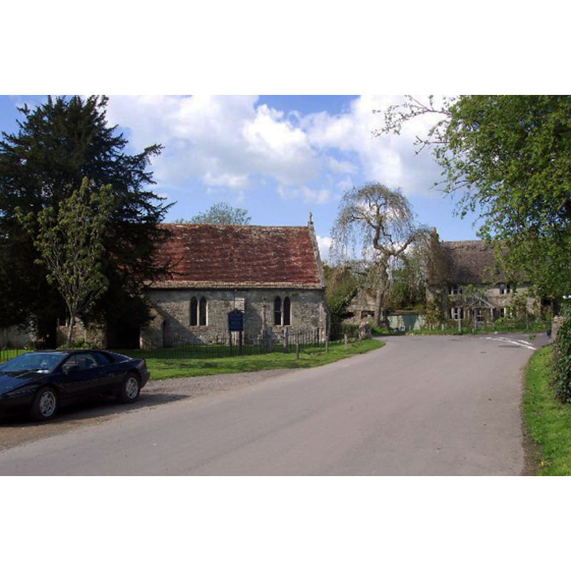
Image copyright © Ron Strutt, 2004
CC-BY-SA-3.0
Results: 1 records
view of church exterior - south view
Copyright Statement: Image copyright © Ron Strutt, 2004
Image Source: digital photograph taken 2 May 2004 by Ron Strutt [www.geograph.org.uk/photo/44147] [accessed 16 January 2012]
Copyright Instructions: CC-BY-SA-3.0
INFORMATION
Font ID: 14112TEF
Object Type: Baptismal Font1
Font Century and Period/Style: 12th - 13th century [re-cut], Transitional / Early English [altered]
Cognate Fonts: [cf. FontNotes]
Church / Chapel Name: Parish Church of St. Edward [formerly a chapel of ease of Dinton]
Font Location in Church: Inside the church, opposite the entranceway
Church Patron Saint(s): St. Edward the Confessor
Church Notes: The VCH entry gives 'dedication unknown' for this church, but the Church of England site [www.achurchnearyou.com/teffont-magna/] [accessed 16 January 2012] gives St. Edward's
Church Address: Wylye Road, Teffont Magna, Wiltshire, SP3 5QY, UK
Site Location: Wiltshire, South West, England, United Kingdom
Directions to Site: Located on the B3089, 10 km E of Hindon, 23 km W of Salisbury
Ecclesiastic Region: Diocese of Salisbury
Historical Region: Hundred of Warminster
Additional Comments: altered font: re-cut
Font Notes:
Click to view
Described in Jones (1862): "There is still a circular font, which is plain and massive." Noted in Buck (1951) as a group of circular fonts with moulded edges dating from the late 12th or early 13th century in the county of Wiltshire, at Barford St. Martin, Bower Chalke, Burcombe, Chilmark, Codford St. Mary [...], Monkton Deverill, Donhead St. Andrew, Teffont Magna. Noted in the Victoria County History (Witshire, vol. 8, 1965): "The church of Teffont Magna has no known dedication. It is a small rectangular building of local stone. It is mainly late 13th century in date, but fragments of a Saxon cross-shaft found reused in the walls suggest the possibility of an earlier church on or near the same site. [...] There is a 13th-century circular font bowl".
COORDINATES
UTM: 30U 568737 5660293
Latitude & Longitude (Decimal): 51.090011, -2.018511
Latitude & Longitude (DMS): 51° 5′ 24.04″ N, 2° 1′ 6.64″ W
MEDIUM AND MEASUREMENTS
Material: stone
Font Shape: round
Basin Interior Shape: round
Basin Exterior Shape: round
REFERENCES
- Victoria County History [online], University of London, 1993-. URL: https://www.british-history.ac.uk.
- Buck, A.G. Randle, "Some Wiltshire fonts. Part II", LIV, CXCIV (June 1951), The Wiltshire Archaeological and Natural History Magazine, 1951, pp. 19-35; p. 32