Blaisdon
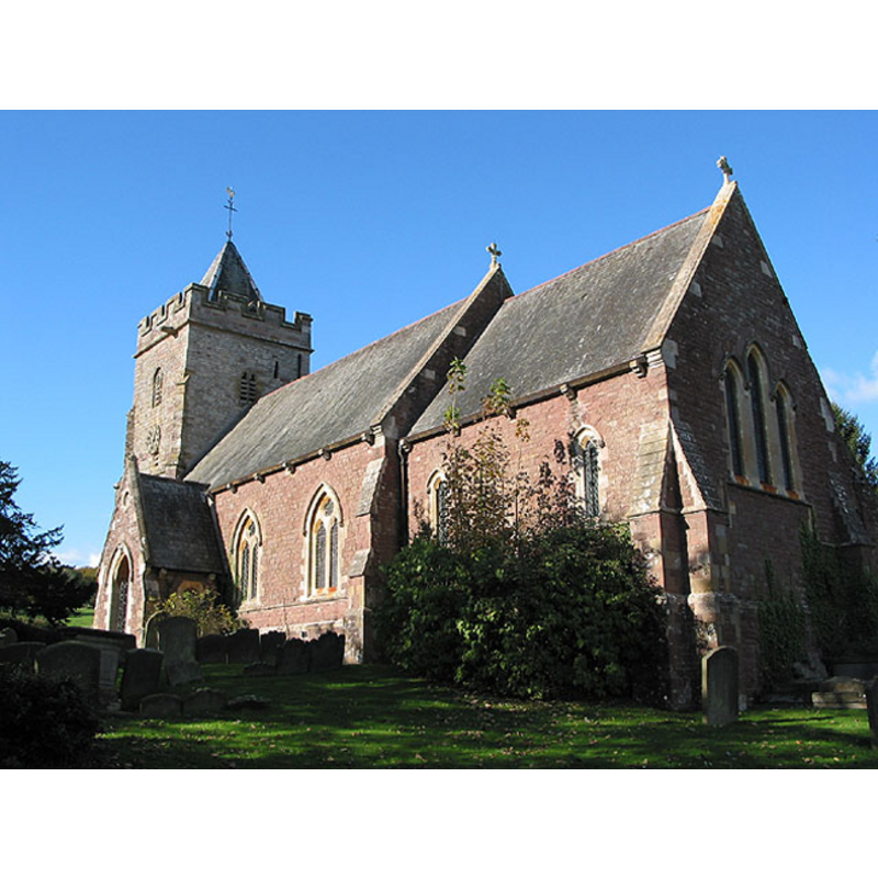
Image copyright © Pauline Eccles, 2007
CC-BY-SA-3.0
Results: 1 records
view of church exterior - southeast view
Copyright Statement: Image copyright © Pauline Eccles, 2007
Image Source: digital photograph taken 30 October 2007 by Pauline Eccles [www.geograph.org.uk/photo/599215] [accessed 25 July 2012]
Copyright Instructions: CC-BY-SA-3.0
INFORMATION
Font ID: 14094BLA
Object Type: Baptismal Font1?
Font Century and Period/Style: 13th - 14th century, Medieval
Church / Chapel Name: Parish Church of St. Michael, Blaisdon
Font Location in Church: [cf. FontNotes]
Church Patron Saint(s): St. Michael
Church Address: Blaisdon Lane, Blaisdon, Gloucestershire GL17 0AQ, UK
Site Location: Gloucestershire, South West, England, United Kingdom
Directions to Site: Located 5 km E of Mitcheldean
Ecclesiastic Region: Diocese of Gloucester
Historical Region: Hundred of Westbury
Additional Comments: disappeared font? (the one from the ca. 1200 church here) -- [no font in John Wilkes' site -- checked July 2012]
Font Notes:
Click to view
No individual entry found for Blaisdon in the Domesday survey. Verey & Brooks (1999-2002) note that the 13th-century church was"rebuilt 1866-7 by F. R. Kempson of Hereford" and report an "octagonal stone font" by Kempson as well [NB: the original building is believed to date from the 13th or 14th century, and the Victoria County History (Gloucester, vol. 10, 1972) suggests "There was presumably a church in the parish by c. 1200 when a chaplain of Blaisdon was mentioned […] and in 1262 the Crown granted three oaks for the repair of the church", but we have no information on the earliest font of that church. Verey & Brooks' (ibid.) entry for Kempley St. Mary's reports "The round font, probably C16, was given by Blaisdon church in 1913". The British Listed Buildings database [www.britishlistedbuildings.co.uk/en-354071-church-of-st-michael-and-all-angels-blai] [accessed 25 July 2012] reports a modern font in this church: "Octagonal stone font on columnar base dates from rebuilding."
COORDINATES
UTM: 30U 539059 5744866
Latitude & Longitude (Decimal): 51.853224, -2.432901
Latitude & Longitude (DMS): 51° 51′ 11.6″ N, 2° 25′ 58.45″ W
REFERENCES
- Victoria County History [online], University of London, 1993-. URL: https://www.british-history.ac.uk.
- Verey, David, Gloucestershire, London: Penguin Books, 1999-2002, vol. 2: 195
- Verey, David, Gloucestershire, London: Penguin Books, 1999-2002, vol. 2: 555