York No. 12, Ouse Bridge, Micklegate / Eboracum / Eburacum / Eburākon / Eoforwic / Everwic / Jórvík
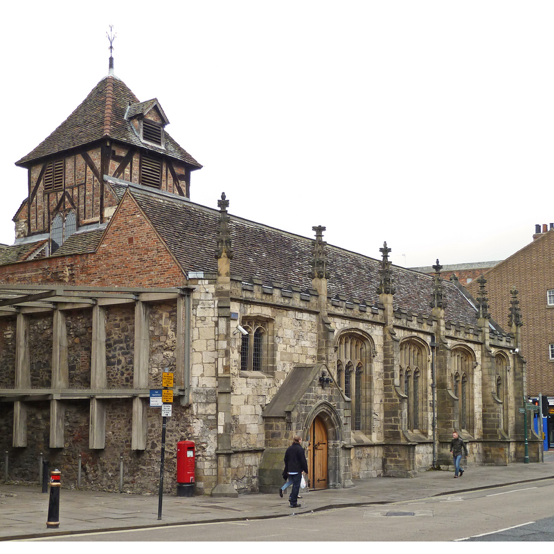
Image copyright © Tim Green, 2011
CC-BY-2.0
Results: 2 records
view of church exterior - southwest view
Copyright Statement: Image copyright © Tim Green, 2011
Image Source: digital photograph taken 15 May 2011 by Tim Green [https://commons.wikimedia.org/wiki/File:St_John,_Micklegate,_York_(former)_(5734617660).jpg] [accessed 19 August 2019]
Copyright Instructions: CC-BY-2.0
view of church exterior - southeast view
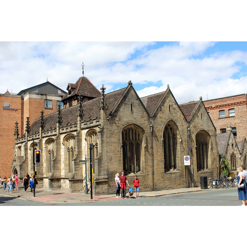
Copyright Statement: Image copyright © Chabe01, 2018
Image Source: digital photograph taken 28 July 2018 by Chabe01 [https://commons.wikimedia.org/wiki/File:Église_St_John_Évangéliste_York_2.jpg] [accessed 19 August 2019]
Copyright Instructions: CC-BY-SA-4.0
INFORMATION
Font ID: 14028YOR
Object Type: Baptismal Font1?
Font Century and Period/Style: Medieval
Church / Chapel Name: Parish Church of St. John the Evangelist, Ouse Bridge End [aka St John North Street] [deconsecrated: Institute of Architectural Study --> York Arts Centre --> bar]
Font Location in Church: [cf. FontNotes]
Church Patron Saint(s): St. John the Evangelist
Church Notes: update May 2019: former church, later IAS, later still York Arts Cerntre; now [19 May 2019] a bar and restaurant, "The Parish Cafe Bar"
Church Address: 2 Micklegate, York YO1 6JG, UK
Site Location: North Yorkshire, Yorkshire and the Humber, England, United Kingdom
Directions to Site: Located near Ouse bridge, at the NW corner of Micklegate and North Street, York city centre
Ecclesiastic Region: [Diocese of York]
Historical Region: Hundred of York
Additional Comments: disappeared font? (the one from the late-12thC(?) church here)
Font Notes:
Click to view
There are twelve entries for York in the Domesday survey [https://opendomesday.org/place/SE6052/york/] [accessed 8 August 2019] eight of which mentions a church in it [cf. infra]. The entry for this parish in the Victoria County History (York, 1961) notes: "The church of St. John, Ouse Bridge End, was included in the papal confirmation of minster properties of 1194 [...] The church was restored between 1850 and 1851 [...] The church was closed in 1939 and the furnishings removed [...] The font, organ, and choir stalls went to St. Hilda's". The VCH (ibid.) entry for St. Hilda's identifies both font and cover there as formerly from St. John's Ouse Bridge. The entry for this building [former church] in Historic England [Listing NGR: SE6011251652] notes: "Formerly known as: Church of St John the Evangelist OUSEBRIDGE. Church, now arts centre. Early C12 lower stage to tower; C14 chancel north arch; north aisle and arcade remodelled, and west end extended, in late C15; late C15 south aisle and arcade. In 1551 part of north aisle and arcade rebuilt following partial collapse of tower; belfry of 1646. Extensive restoration in 1850, when east end was rebuilt and south porch added; further restorations of 1866, when nave was re-roofed, and c1955. 1850 work by G Fowler Jones; 1866 restoration by JB and W Atkinson; C20 conversion by University of York Design Unit. Re-roofed and further alterations c1990"; no font mentioned.
[NB: we have no information on the medieval font of this church]
[NB: we have no information on the medieval font of this church]
Credit and Acknowledgements: We are grateful to Colin Hinson for the photogfraph of this church
COORDINATES
UTM: 30U 625619 5980484
Latitude & Longitude (Decimal): 53.957444, -1.085444
Latitude & Longitude (DMS): 53° 57′ 26.8″ N, 1° 5′ 7.6″ W
REFERENCES
- Victoria County History [online], University of London, 1993-. URL: https://www.british-history.ac.uk.