West Witton / West Wythton / West Wytton / Westwithington / Wittun / Wittuna / Witun / Wudetun
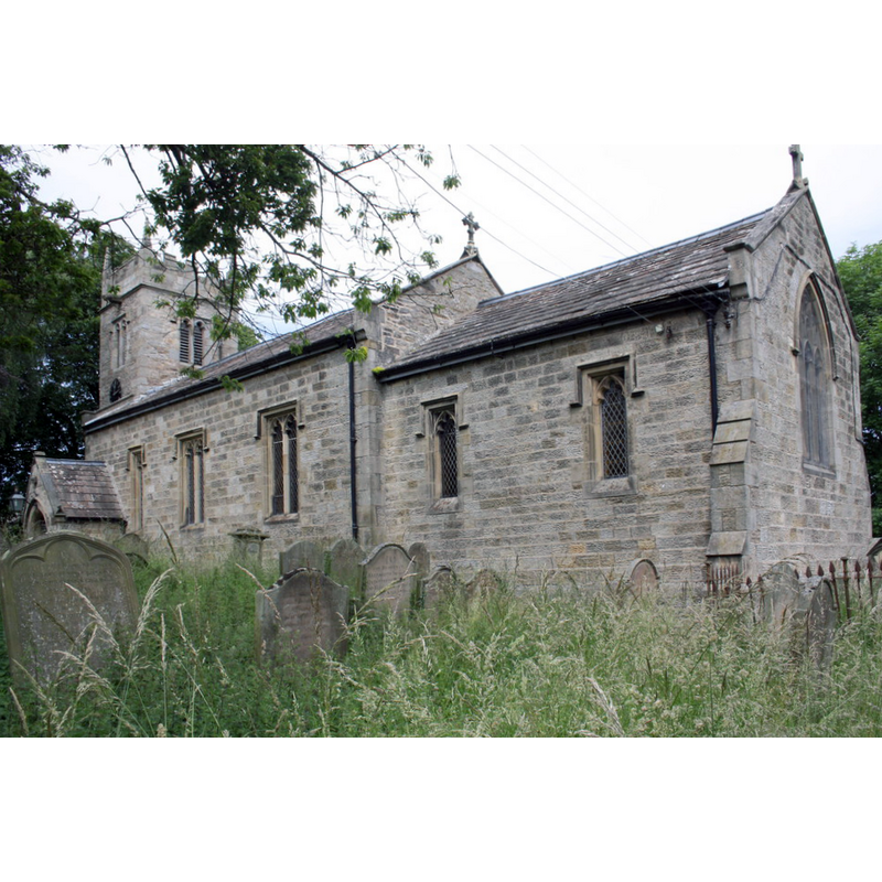
Image copyright © Roger Templeman, 2011
CC-BY-SA-2.0
Results: 1 records
view of church exterior - southeast view
Copyright Statement: Image copyright © Roger Templeman, 2011
Image Source: digital photograph taken 28 June 2011 by Roger Templeman [www.geograph.org.uk/photo/2600994] [accessed 25 November 2019]
Copyright Instructions: CC-BY-SA-2.0
INFORMATION
Font ID: 14015WIT
Object Type: Baptismal Font1?
Font Century and Period/Style: 10th - 13th century, Medieval
Church / Chapel Name: Parish Church of St. Bartholomew
Church Patron Saint(s): St. Bartholomew
Church Address: Church Ln, West Witton, Leyburn DL8 4LT, UK -- +44 1969 663097
Site Location: North Yorkshire, Yorkshire and the Humber, England, United Kingdom
Directions to Site: Located off (N) the A684, 7-8 km W of Leyburn and Middleham
Ecclesiastic Region: Diocese of Leeds
Historical Region: Hundred of Land of Count Alan
Additional Comments: disappeared font? (the one from the medieval church here)
Font Notes:
Click to view
There is an entry [multiple-place] for [West] Witton [variant spelling] in the Domesday survey [https://opendomesday.org/place/SE0688/west-witton/] [accessed 25 November 2019] but it mentions neither cleric not church in it. Noted in Glynne's 29 May 1871 visit to this church (in Butler, 2007): "The font is octagonal, but small and of doubtful character." The entry for this parish in the Victoria County History (York North Riding, vol. 1, 1914) notes: "The earliest mention of the church, variously described as church, chapel or free chapel, [...] seems to occur in 1281 [...] The whole edifice has been almost entirely rebuilt. [...] The tower is in one stage without string-courses or buttresses and dates probably from the 16th century" [NB: the VCH entry makes no mention of any earlier evidence in the church, nor does it mention a font in it]. The entry for this church in Historic England [Listing NGR: SE0610688485] notes: "Church. C16 tower, rest of 1875 [...] Small C18 font, wine-glass shape. Chamfered doorway to vestry, set in the wall of which is stone with Saxon cross-head on it, perhaps a dedication stone."
COORDINATES
UTM: 30U 571092 6016471
Latitude & Longitude (Decimal): 54.291189, -1.907789
Latitude & Longitude (DMS): 54° 17′ 28.28″ N, 1° 54′ 28.04″ W
MEDIUM AND MEASUREMENTS
Material: stone
Font Shape: octagonal
Basin Exterior Shape: octagonal
REFERENCES
- Victoria County History [online], University of London, 1993-. URL: https://www.british-history.ac.uk.
- Glynne, Stephen Richard, The Yorkshire notes of Sir Stephen Glynne (1825-1874), Woodbridge: The Boydell Press; Yorkshire Archaeological Society, 2007, p. 437