Shiptonthorpe / Epton / Shipton Thorpe
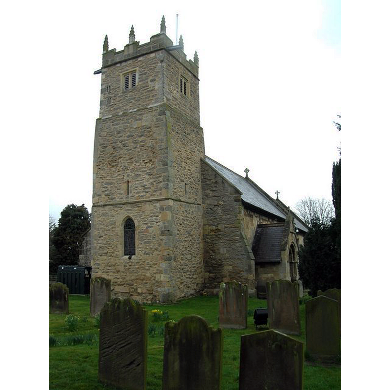
Image copyright © JThomas, 2010
CC-BY-SA-2.0
Results: 1 records
view of church exterior - southwest view
Copyright Statement: Image copyright © JThomas, 2010
Image Source: digital photograph taken 3 April 2010 by JThomas [www.geograph.org.uk/photo/1784773] [accessed 31 July 2014]
Copyright Instructions: CC-BY-SA-2.0
INFORMATION
Font ID: 13994SHI
Object Type: Baptismal Font1
Font Century and Period/Style: 12th century, Late Norman
Church / Chapel Name: Parish Church of All Saints
Font Location in Church: reported in the vestry in January 1967 [cf. FontNotes]
Church Patron Saint(s): All Saints
Church Address: Town Street, Shiptonthorpe, East Riding of Yorkshire YO43 3PG
Site Location: East Riding of Yorkshire, Yorkshire and the Humber, England, United Kingdom
Directions to Site: Located 2-3 km W of Market Weighton
Ecclesiastic Region: Diocese of York
Historical Region: Hundred of Weighton
Additional Comments: disused font? [cf. FontNotes]
Font Notes:
Click to view
There is an entry for Shipton[Thorpe] [variant spelling] in the Domesday survey [http://www.domesdaymap.co.uk/place/SE8543/shiptonthorpe/] [accessed 31 July 2014], but it mentions neither church nor cleric in it. A font here is noted in Glynne's 23 January 1863 visit to this church, in Butler (2007): "The font is a plain octagon." Bulmer's Directory of 1892 reports: "The church, which is dedicated to All Saints, is an ancient stone building, dating from the Norman period […] The edifice was restored in 1883 […] The architect was Mr. James Demaine of York […] The carved stone font was given by the architect". English Heritage [Listing NGR: SE8523643158] (1967) notes: "Church. C12 nave, C13 west tower (heightened C16) and north aisle, C13 chancel with north chapel. [...] Disused octagonal tub font in vestry [NB: this is probably the font reported in Glynne].
COORDINATES
UTM: 30U 650831 5972389
Latitude & Longitude (Decimal): 53.878011, -0.705495
Latitude & Longitude (DMS): 53° 52′ 40.84″ N, 0° 42′ 19.78″ W
MEDIUM AND MEASUREMENTS
Material: stone
Font Shape: octagonal
Basin Exterior Shape: octagonal
REFERENCES
- Bulmer, T., History and Directory of East Yorkshire, 1892, [transcribed in http://www.genuki.org.uk/big/eng/YKS/ERY/Shiptonthorpe/Shiptonthorpe92.html [accessed 19 November 2008]
- Glynne, Stephen Richard, The Yorkshire notes of Sir Stephen Glynne (1825-1874), Woodbridge: The Boydell Press; Yorkshire Archaeological Society, 2007, p. 375