Upper Helmsley / Hamelsec / Hemelesei / Hemeleshey / Heneleseya / Over Hemylsey / Overhelmesley
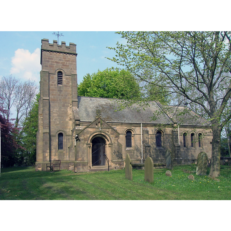
Image copyright © JThomas, 2011
CC-BY-SA-2.0
Results: 1 records
view of church exterior - south view
Copyright Statement: Image copyright © JThomas, 2011
Image Source: digital photograpjh taken 22 April 2011 by JThomas [www.geograph.org.uk/photo/2372280] [accessed 10 December 2019]
Copyright Instructions: CC-BY-SA-2.0
INFORMATION
Font ID: 13952HEL
Object Type: Baptismal Font1
Font Century and Period/Style: 12th century, Norman
Church / Chapel Name: Parish Church of St. Peter
Font Location in Church: Inside the church
Church Patron Saint(s): St. Peter
Church Address: Upper Helmsley, York YO41 1JY, UK -- Tel.: +44 1904 468418
Site Location: North Yorkshire, Yorkshire and the Humber, England, United Kingdom
Directions to Site: Located off (N) the A166, 2 km NW of Stamford Bridge, 12 km ENE of York city centre
Ecclesiastic Region: Diocese of York
Historical Region: Hundred of Bulford
Font Notes:
Click to view
There is a multiple-place entry for [Upper] Helmsley [variant spelling] in the Domesday survey [https://opendomesday.org/place/SE6957/upper-helmsley/] [accessed 10 December 2019] but it mentions neither cleric nor church in it. The entry for this parish in the Victoria County History (York North Riding, vol. 2, 1923) notes: "The church of ST. PETER was entirely rebuilt in 1888 [...] The previous church was erected in 1795 [...] The font has a plain 12th-century hemispherical bowl resting on a circular shaft. [...] There is some doubt whether the church of Upper Helmsley was given to the hospital of St. Leonard by Niel Daubeney or by his son Roger Mowbray [...] it may be assumed that Roger merely confirmed his father's gift of church and land." [NB: "Roger de Mowbray was the son of Nigel d’Aubigny, one of Henry I’s leading men" [www.dhi.ac.uk/cistercians/people/roger_de_mowbray.php] [accessed 10 December 2019]. The Harton Benefice page [www.sandhuttongroup.org.uk/example-page/st-peter-upper-helmsley/] [accessed 10 December 2019] notes: "The charming church of St Peter in this tiny village is at least the third on an ancient site. Built around 1888 on the site of the previous one" and reports "an 11th century stone font" in it.
COORDINATES
UTM: 30U 634925 5985968
Latitude & Longitude (Decimal): 54.004359, -0.941278
Latitude & Longitude (DMS): 54° 0′ 15.69″ N, 0° 56′ 28.6″ W
MEDIUM AND MEASUREMENTS
Material: stone
Font Shape: hemispheric, mounted
Basin Interior Shape: round
Basin Exterior Shape: round
REFERENCES
- Victoria County History [online], University of London, 1993-. URL: https://www.british-history.ac.uk.