Handsworth nr. Sheffield / Handeswrde / Hannesworth
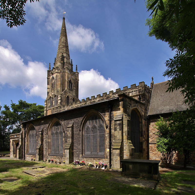
Image copyright © Motacilla, 2017
CC-BY-SA-4.0
Results: 1 records
view of church exterior - southeast view
Scene Description: Source caption: "West tower, spire and south aisle of the parish church of St Mary the Virgin, Handsworth Road, Handsworth, South Yorkshire, seen from the southeast"
Copyright Statement: Image copyright © Motacilla, 2017
Image Source: digital photograph taken 16 June 2017 by Motacilla [https://commons.wikimedia.org/wiki/File:Handsworth_StMaryV_SE.jpg] [accessed 8 November 2018]
Copyright Instructions: CC-BY-SA-4.0
INFORMATION
Font ID: 13950HAN
Object Type: Baptismal Font1?
Font Date: ca. 1170?
Font Century and Period/Style: 12th century (late?), Medieval
Church / Chapel Name: Parish Church of St. Mary
Church Patron Saint(s): St. Mary the Virgin
Church Notes: original church ca. 1170
Church Address: The Rectory, Handsworth Rd, Sheffield S13 9BZ, UK
Site Location: South Yorkshire, Yorkshire and the Humber, England, United Kingdom
Directions to Site: Located on the B6200, E of the A57, 7 km SE of Sheffield
Ecclesiastic Region: Diocese of Sheffield
Historical Region: Hundred of Strafforth -- formerly WRYrks
Additional Comments: disappeared font?
Font Notes:
Click to view
There is an entry for this Handsworth [variant spelling] in the Domesday survey [http://opendomesday.org/place/SK4186/handsworth/] [accessed 8 November 2018] but it mentions neither cleric nor church in it. Glynne's 13 April 1860 visit to this church (in Butler, 2007) reports: "The font is modern". The entry for this church in Historic England [Listing NGR: SK4105086204] notes: "arish church and attached chest tombs. Late C12, north chapel (St Katherine) c1300, nave c1472, north aisle 1833, south aisle, south porch and vestry 1904, by John Dodsley Webster, choir vestry 1930, west tower late C12, the upper stages rebuilt 1825. Restored 1869 by ME Hadfield, 1880 by JB Mitchell-Withers, and 1934. [...] FITTINGS include C19 traceried ashlar font". [NB: the original church is believed to have been built ca. 1170, but we have no information of the earlier font(s) of this church]
COORDINATES
UTM: 30U 607485 5914773
Latitude & Longitude (Decimal): 53.371131, -1.38443
Latitude & Longitude (DMS): 53° 22′ 16.07″ N, 1° 23′ 3.95″ W
REFERENCES
- Glynne, Stephen Richard, The Yorkshire notes of Sir Stephen Glynne (1825-1874), Woodbridge: The Boydell Press; Yorkshire Archaeological Society, 2007, p. 202