Church Fenton / Fentun / Kirk Fenton / Little Fenton
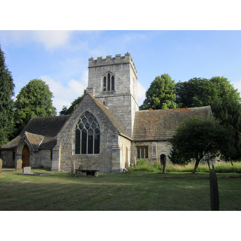
Image copyright © Ian S, 2013
CC-BY-SA-2.0
Results: 2 records
view of church exterior - south view
Copyright Statement: Image copyright © Ian S, 2013
Image Source: digital photograph taken 20 July 2013 by Ian S [www.geograph.org.uk/photo/3568525] [accessed 1 November 2018]
Copyright Instructions: CC-BY-SA-2.0
view of church interior - nave - looking east
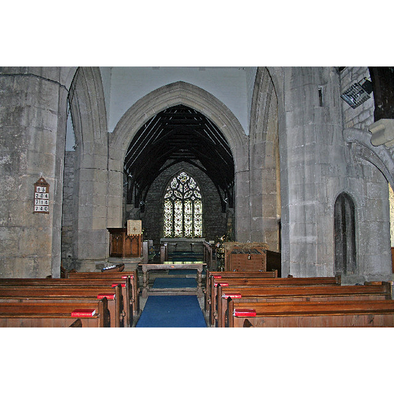
Copyright Statement: Image copyright © Gordon Kneale Brooke, 2006
Image Source: digital photograph taken 12 January 2006 by Gordon Kneale Brooke [www.geograph.org.uk/photo/104965] [accessed 1 November 2018]
Copyright Instructions: CC-BY-SA-2.0
INFORMATION
Font ID: 13934FEN
Object Type: Baptismal Font1?
Font Century and Period/Style: 13th century, Early English
Church / Chapel Name: Parish Church of St. Mary the Virging [formerly St. John the Baptist's]
Church Patron Saint(s): St. Mary the Virgin [formerly St. John the Baptist]
Church Address: Church St, FentonChurch. Mainly C13 with C14 and C15 additions and alterations including C15 tower and restorations of 1844.Church. Mainly C13 with C14 and C15 additions and alterations including C15 tower and restorations of 1844.
Site Location: North Yorkshire, Yorkshire and the Humber, England, United Kingdom
Directions to Site: Located off (E) the A162, W of Cawood, S of Ulleskelf., 10 km SSE of Tadcaster, 26 km E of Leeds
Ecclesiastic Region: Diocese of Leeds
Historical Region: Hundred of Barkston -- formerly WRYrks
Additional Comments: disappeared font? (the one from the 13thC church here}
Font Notes:
Click to view
There is an entry for [Church and Little] Fenton [variant spelling] in the Domesday survey [http://opendomesday.org/place/XX0000/church-and-little-fenton/] [accessed 1 November 2018] but it mentions neither cleric nor church on it. Glynne's 19 December 1850 visit to this church (in Butler, 2007) reports: "The font is a new one of cylindrical form". The entry for this church in Historic England [Listing NGR: SE5143036763] notes: "Church. Mainly C13 with C14 and C15 additions and alterations including C15 tower and restorations of 1844"; no font mentioned in it. [NB: the church goes back at least to the 13th century, but we have no information on the earlier font(s) of this church]
COORDINATES
UTM: 30U 617208 5965508
Latitude & Longitude (Decimal): 53.82488, -1.2193
Latitude & Longitude (DMS): 53° 49′ 29.57″ N, 1° 13′ 9.48″ W
MEDIUM AND MEASUREMENTS
Material: stone
Font Shape: cylindrical
Basin Interior Shape: round
Basin Exterior Shape: round
REFERENCES
- Glynne, Stephen Richard, The Yorkshire notes of Sir Stephen Glynne (1825-1874), Woodbridge: The Boydell Press; Yorkshire Archaeological Society, 2007, p. 177