Stokesley / Stochelage / Stocheslage
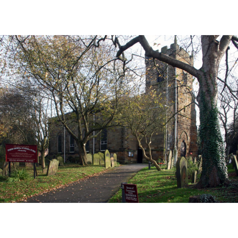
Image copyright © Graham Hogg, 2014
CC-BY-SA-2.0
Results: 1 records
view of church exterior - northwest view
Copyright Statement: Image copyright © Graham Hogg, 2014
Image Source: digital photograph taken 31 October 2014 by Graham Hogg [www.geograph.org.uk/photo/4253621] [accessed 31 January 2020]
Copyright Instructions: CC-BY-SA-2.0
INFORMATION
Font ID: 13584STO
Object Type: Baptismal Font1?
Font Century and Period/Style: Medieval
Church / Chapel Name: Parish Church of St. Peter and St. Paul
Font Location in Church: Inside the church, at the W end of the church
Church Patron Saint(s): St. Peter & St. Paul
Church Address: 1 High St, Stokesley, Middlesbrough TS9 5AE, UK -- Tel.: +44 1642 710405
Site Location: North Yorkshire, Yorkshire and the Humber, England, United Kingdom
Directions to Site: Located off the B1365 and the A172, 16 km S of Middlesbrough
Ecclesiastic Region: Diocese of York
Historical Region: Hundred of Langbaurgh
Additional Comments: disused font? [cf. FontNotes] -- disappeared font? (the one from the Domesday-time church here)
Font Notes:
Click to view
There is an entry for Stokesley [variant spelling] in the Domesday survey [https://opendomesday.org/place/NZ5208/stokesley/] [accessed 19 December 2019]; it reports a priest and a church in it. There is no mention of any font in Glynne's August 1827 visit to this church (in Butler, 2007). Whelann (1859) report ''a modern vase-shaped font'' in front of the chancel arch, ''whilst, at the west end of the church is an ancient massive font''. The entry for this parish in the Victoria County History (North Riding, vol. 2, 1923) notes: ''There was a church with a priest at Stokesley at the time of the Domesday Survey [...] The only ancient work remaining is in the chancel and tower, which are apparently of 15th-century date [...] The font dates from 1875", and does not mention the older font.
COORDINATES
UTM: 30U 617040 6037273
Latitude & Longitude (Decimal): 54.4696, -1.194
Latitude & Longitude (DMS): 54° 28′ 10.56″ N, 1° 11′ 38.4″ W
MEDIUM AND MEASUREMENTS
Material: stone
REFERENCES
- Victoria County History [online], University of London, 1993-. URL: https://www.british-history.ac.uk.
- Glynne, Stephen Richard, The Yorkshire notes of Sir Stephen Glynne (1825-1874), Woodbridge: The Boydell Press; Yorkshire Archaeological Society, 2007, p. 394
- Whellan & Co., T., History and topography of the city of York and the North Riding of Yorkshire, embracing a […], Beverley: printed for the publishers by John Green, Market Place, 1859, p. 164 / [http://books.google.co.uk/books?id=-8wHAAAAQAAJ&pg=RA8-PA893&lpg=RA8-PA893&dq=ebberston+church+font&source=web&ots=dasZyVodko&sig=lJUwMy-wZpIVTB8qWdeRzaah_cM&hl=en&sa=X&oi=book_result&resnum=9&ct=result#PPA164,M1] [accessed 6 July 2008]