Hessle / Hase
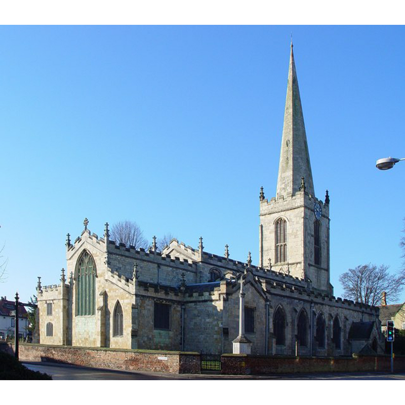
Image copyright © Peter Church, 2008
CC-BY-SA-2.0
Results: 2 records
view of church exterior - northeast view
Copyright Statement: Image copyright © Peter Church, 2008
Image Source: digital photograph taken 13 February 2008 by Peter Church [www.geograph.org.uk/photo/689066] [accessed 28 July 2014]
Copyright Instructions: CC-BY-SA-2.0
view of church exterior - southeast view
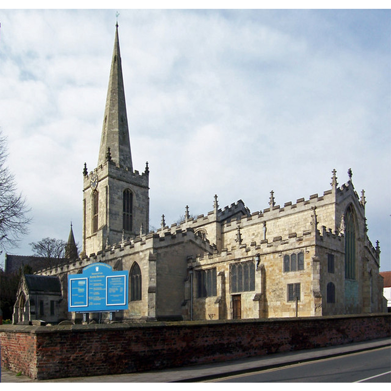
Copyright Statement: Image copyright © David Wright, 2007
Image Source: digital photograph taken 10 March 2007 by David Wright [www.geograph.org.uk/photo/364644] [accessed 28 July 2014]
Copyright Instructions: CC-BY-SA-2.0
INFORMATION
Font ID: 13578HES
Object Type: Baptismal Font1?
Font Century and Period/Style: 11th - 12th century, Norman
Church / Chapel Name: Parish Church of All Saints
Church Patron Saint(s): All Saints
Church Address: Swinegate, Hessle, East Riding of Yorkshire HU13 0RX
Site Location: East Riding of Yorkshire, Yorkshire and the Humber, England, United Kingdom
Directions to Site: Located 8 km W of Kingston-upon-Hull
Ecclesiastic Region: Diocese of York
Historical Region: Hundred of Hessle
Additional Comments: disappeared font(s) [cf. FontNotes]
Font Notes:
Click to view
There are two entries for this Hessle [variant spelling] in the Domesday survey [http://domesdaymap.co.uk/place/TA0326/hessle/] [accessed 28 July 2014], each part with one priest and one church in it. A font here is noted in Glynne's 31 July 1848 visit to this church: "The font is a very ordinary one: the bowl octagonal, diminishing, on a stem of like form." Sheahan & Whellan (1857) note: ''The font is an octagon basin of stone, on a similar pedestal'' [NB: the original fabric of the church goes back to Norman times, and the church was enlarged repeatedly in the 13th, 14th and 15th centuries as indicated in Pevsner & Neave (1995), and the present font probably dates from the 1841 renovation, but we have no information of the earlier font(s) of the two Domesday-time churches here].
COORDINATES
UTM: 30U 669209 5955844
Latitude & Longitude (Decimal): 53.723779, -0.435299
Latitude & Longitude (DMS): 53° 43′ 25.6″ N, 0° 26′ 7.07″ W
REFERENCES
- Glynne, Stephen Richard, The Yorkshire notes of Sir Stephen Glynne (1825-1874), Woodbridge: The Boydell Press; Yorkshire Archaeological Society, 2007, p. 220
- Pevsner, Nikolaus, Yorkshire: York and the East Riding, London: Penguin, 1995, p. 467
- Sheahan, James Joseph, History and topography of the city of York; the East Riding of Yorkshire and a portion of the West Riding […], Beverley: printed for the publishers by John Green, Market Place, 1857, p. 543 / [http://books.google.co.uk/books?id=pnEMAAAAYAAJ&pg=PA484&lpg=PA484&dq=lowthorpe+church+font&source=web&ots=voqP9Oob0V&sig=eG9y4rQzjY9QXoOVBZVVv4af2Sc&hl=en&sa=X&oi=book_result&resnum=1&ct=result#PPP5,M1] [accessed 2 July 2008]