Cherington nr. Shipston-on-Stour / Chirton
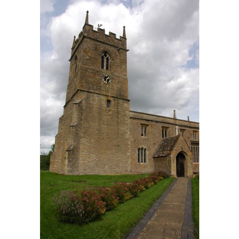
Image copyright © Philip Halling, 2007
CC-BY-SA-2.0
Results: 2 records
view of church exterior - southwest end
Copyright Statement: Image copyright © Philip Halling, 2007
Image Source: digital photograph taken 28 July 2007 by Philip Halling [www.geograph.org.uk/photo/508153] [accessed 30 July 2012]
Copyright Instructions: CC-BY-SA-2.0
view of church interior - nave - looking west
![the top of the modern font, with a floral arrangement on top, is visible at the far [west] end, left [south] side](/static-50478a99ec6f36a15d6234548c59f63da52304e5/compressed/1150117037_compressed.png)
Scene Description: the top of the modern font, with a floral arrangement on top, is visible at the far [west] end, left [south] side
Copyright Statement: Image copyright © Philip Halling, 2007
Image Source: digital photograph taken 28 July 2007 by Philip Halling [www.geograph.org.uk/photo/512225] [accessed 17 January 2015]
Copyright Instructions: CC-BY-SA-2.0
INFORMATION
Font ID: 13553CHE
Object Type: Baptismal Font1?
Font Century and Period/Style: 13th century (early?), Early English
Church / Chapel Name: Parish Church of St. John the Baptist
Church Patron Saint(s): St. John the Baptist
Church Address: Wood Lane / Church Lane, Cherington, Warwickshire CV36 5HS
Site Location: Warwickshire, West Midlands, England, United Kingdom
Directions to Site: Located 6 km SE of Shipston-on-Stour
Ecclesiastic Region: Diocese of Coventry
Historical Region: Hundred of Longtree [in Domesday] -- Hundred of Kington
Additional Comments: disappeared font? (the one from the early-13thC church here)
Font Notes:
Click to view
We found no entry for this Cherington in the Domesday survey. The Victoria County History (Warwickshire, vol. 5, 1949) notes: "Ralph de Wylinton was returned as patron of the church of Cherington in 1279, [...] and the advowson continued to descend with the manor until at least 1658. [...] The nave dates from the early 13th century; the chancel with it was probably rebuilt entirely, widened and lengthened, late in the century, but there has been a great deal of restoration and repair to it since", but mewntions no font in it. The VCH (ibid.) plan of the interior shows a font in the west end of the nave, south side; probably a later replacement; the earlier parts of the building date to the early 13th century, but we have no information on the original font of this church.
COORDINATES
UTM: 30U 597669 5765014
Latitude & Longitude (Decimal): 52.027142, -1.576406
Latitude & Longitude (DMS): 52° 1′ 37.71″ N, 1° 34′ 35.06″ W
REFERENCES
- Victoria County History [online], University of London, 1993-. URL: https://www.british-history.ac.uk.