Alfrick / Alfredswic / Alfric / Alserwyke
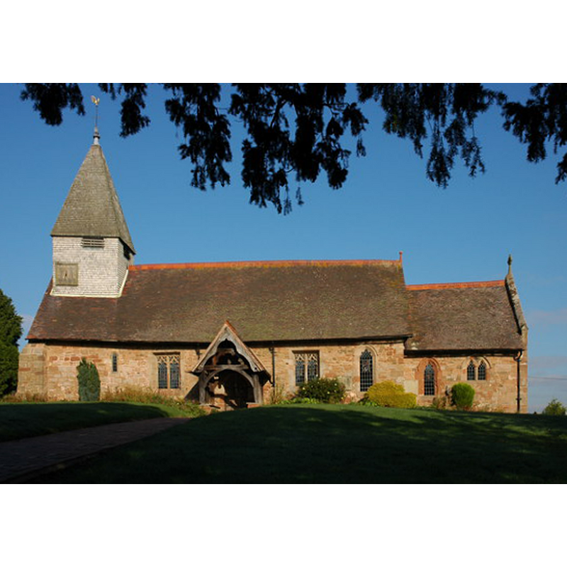
Image copyright © Philip Halling, 2007
CC-BY-SA-2.0
Results: 2 records
view of church exterior - south view
Scene Description: EXT S digital photograph taken 20 October 2007 by Philip Halling [www.geograph.org.uk/photo/591128] [accessed 5 November 2014]
INT E WITH Lulsley FONT digital photograph taken 20 October 2007 by Philip Halling [www.geograph.org.uk/photo/591132] [accessed 5 November 2014]
Copyright Statement: Image copyright © Philip Halling, 2007
Image Source: digital photograph taken 20 October 2007 by Philip Halling [www.geograph.org.uk/photo/591128] [accessed 5 November 2014]
Copyright Instructions: CC-BY-SA-2.0
view of church interior - nave - looking east
![the font originally from Lulsley is visible in the chapel [north transept?] on the left](/static-50478a99ec6f36a15d6234548c59f63da52304e5/compressed/1141107011_compressed.png)
Scene Description: the font originally from Lulsley is visible in the chapel [north transept?] on the left
Copyright Statement: Image copyright © Philip Halling, 2007
Image Source: digital photograph taken 20 October 2007 by Philip Halling [www.geograph.org.uk/photo/591132] [accessed 5 November 2014]
Copyright Instructions: CC-BY-SA-2.0
INFORMATION
Font ID: 13520ALF
Object Type: Baptismal Font1?
Font Century and Period/Style: 12th century, Late Norman
Church / Chapel Name: Parish Church of St. Mary Magdalene
Font Location in Church: [the Lulsley font is now in the transept at Alfrick's St. Mary Magdalene]
Church Patron Saint(s): St. Mary Magdalene
Church Address: Alfrick & Lulsley, Worcestershire, WR6 5HH
Site Location: Worcestershire, West Midlands, England, United Kingdom
Directions to Site: Located just E of Suckley
Ecclesiastic Region: Diocese of Worcester
Additional Comments: disappeared font? (the font from the original 12thC church here)
Font Notes:
Click to view
Miller (1890) mentions only the Chapel of St. Simon and St. Jude, "built 1685]. A modern font at Alfrick St. Mary's is reported in the Victoria County History (Worcester, vol. 4, 1924), but the early fabric of the church "dates from the early part of the 12th century". A medieval font was acquired from nearby Lulsley in 1974, as noted in the VCH (ibid.) [cf. Index entry for Lulsley]. [NB: we have no information on the original font of this church]
COORDINATES
Latitude & Longitude (Decimal): 52.17414, -2.36992
Latitude & Longitude (DMS): 52° 10′ 26.90″ N, 2° 22′ 11.69″ W
MEDIUM AND MEASUREMENTS
Material: stone
REFERENCES
- Victoria County History [online], University of London, 1993-. URL: https://www.british-history.ac.uk.
- Miller, George [Revd.], The Parishes of the Diocese of Worcester, Birmingham: Hall & English, 1890, vol. 2: 34