Stratton-on-the-Fosse / Stratone / Stretone
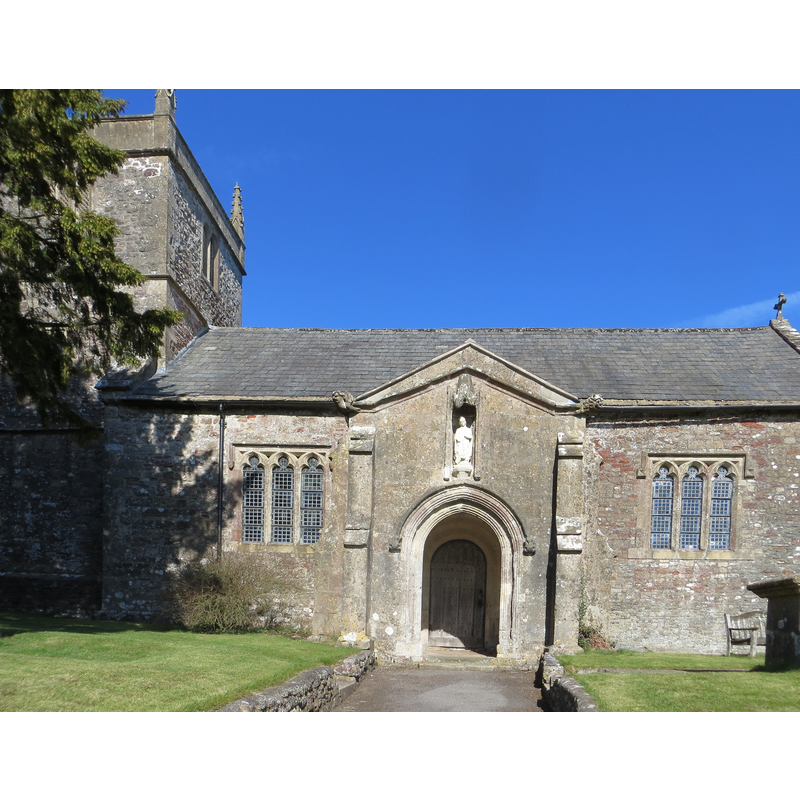
Image copyright © Peter Wood, 2013
CC-BY-SA-2.0
Results: 2 records
view of church exterior - south view - detail
Copyright Statement: Image copyright © Peter Wood, 2013
Image Source: edited detail of a digital photograph taken 14 May 2013 by Peter Wood [www.geograph.org.uk/photo/3373918] [accessed 29 April 2019]
Copyright Instructions: CC-BY-SA-2.0
view of church exterior - southeast view
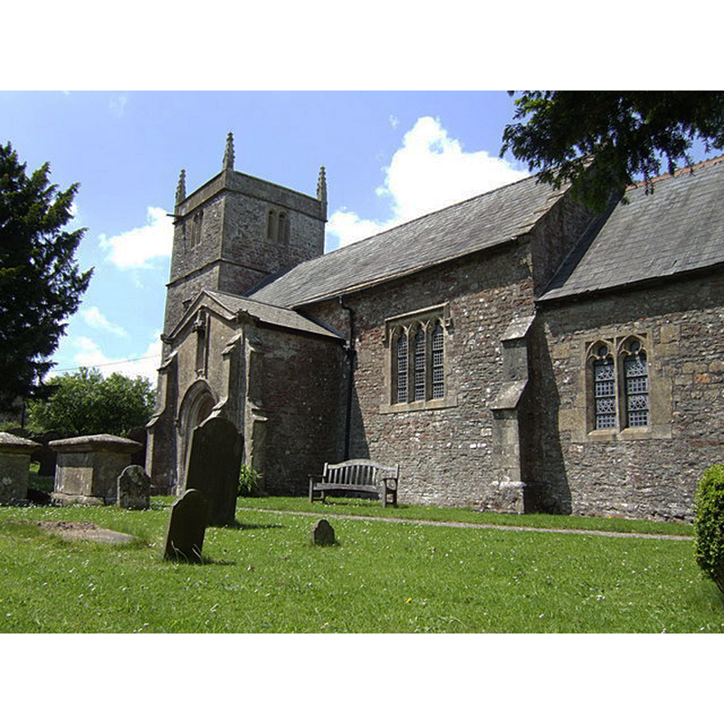
Copyright Statement: Image copyright © Jonathan Billinger, 2007
Image Source: digital photograph taken 5 June 2007 by Jonathan Billinger [www.geograph.org.uk/photo/457810] [accessed 29 April 2019]
Copyright Instructions: CC-BY-SA-2.0
INFORMATION
Font ID: 13484STR
Object Type: Baptismal Font1
Font Century and Period/Style: 12th century, Late Norman
Church / Chapel Name: Parish Church of St. Vigor
Font Location in Church: Inside the church, at the W end, S side
Church Patron Saint(s): St. Vigor
Church Address: Church Ln, Stratton-on-the-Fosse, Radstock BA3 4QT, UK -- Tel.: +44 1761 502068
Site Location: Somerset, South West, England, United Kingdom
Directions to Site: Located off the A367, 4 km SSW of Radstock
Ecclesiastic Region: Diocese of Bath and Wells
Historical Region: Hundred of Kilmersdon
Additional Comments: the nearby Downside Abbey is modern, of 1873
Font Notes:
Click to view
There are two entries for Stratton [-on-the-Fosse] [variant spellings] in the Domesday survey [https://opendomesday.org/place/ST6550/stratton-on-the-fosse/] [accessed 29 April 2019] neither of which mentions cleri or church in it. Drawing of a font here in the Harvey Pridham Drawings of English Fonts (MS 56). [Folder Number, Item Description]. University of Colorado at Boulder Libraries. Special Collections Dept., done by Harvey Pridham in August 1887 accompanied by the following description: "All circular, inside & out: and all that is shown here is original work. The font is very irregular. The inside bowl is lead lined, with vertical sides of flat bottom, 3 7/8 margin, 9 3/4 depth, & flat modern cover. Position, on left (W) side, entering by S. porch." Wade & Wade (1929) report a Norman font in this church. The village web site [http://www.stratton-on-the-fosse.info/history.asp] [accesed 6 April 2008] notes: "The tower arch is probably of Norman date as is the font, which is quite plain and round in shape and shows the marks of the workman’s tools." Not mentioned in Pevsner (1958). The entry for this church in Historic England [Listing NGR: ST6592750780] notes: "Parish Church. Probably C12 origin, minor C14 work, much rebuilt C15/C16, further rebuilding late C18, restored C19. [...] Norman tub font".
COORDINATES
UTM: 30U 535618 5678328
Latitude & Longitude (Decimal): 51.2552, -2.4896
Latitude & Longitude (DMS): 51° 15′ 18.72″ N, 2° 29′ 22.56″ W
MEDIUM AND MEASUREMENTS
Material: stone
Font Shape: tub-shaped
Basin Interior Shape: round
Basin Exterior Shape: round
Drainage Notes: lead-lined
Rim Thickness: 9.8425 cm
Basin Depth: 24.765 cm*
Notes on Measurements: * [in inches in Harvey Pridham [cf. FontNotes]]
LID INFORMATION
Date: modern
Notes: flat & modern [cf. FontNotes]
REFERENCES
- Wade, G.H., Somerset, London: Methurn & Co., 1929, [http://www.gutenberg.org/files/12287/12287-h/12287-h.htm] [accessed 6 April 2008]