Seavington St. Michael / Seuenemetone / Seuenehantune / Seouenamentone
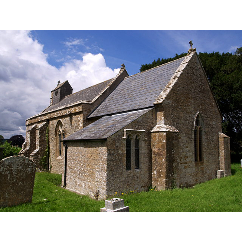
Image copyright © Derek Harper, 2007
CC-BY-SA-2.0
Results: 1 records
view of church exterior - southeast view
Copyright Statement: Image copyright © Derek Harper, 2007
Image Source: digital photograph taken 10 July 2007 by Derek Harper [www.geograph.org.uk/photo/491877] [accessed 27 February 2018]
Copyright Instructions: CC-BY-SA-2.0
INFORMATION
Font ID: 13477SEA
Object Type: Baptismal Font1
Font Century and Period/Style: 12th century (late?), Late Norman? / Transitional?
Church / Chapel Name: Parish Church of St. Michael
Font Location in Church: Inside the church, in the nave
Church Patron Saint(s): St. Michael
Church Notes: 12thC church; modified 15th and 19thC
Site Location: Somerset, South West, England, United Kingdom
Directions to Site: Located on the A303, 6 km E of Ilminster
Ecclesiastic Region: Diocese of Bath & Wells
Historical Region: Hundred of South Petherton
Font Notes:
Click to view
There are three entries for Seavington [Abbots, St Mary and St Michael] [variant spellings] in the Domesday survey [http://opendomesday.org/place/XX0000/seavington-abbots-st-mary-and-st-michael/] [accessed 27 February 2018]; one of the entries reads "Ista eccl[esi]a ten[et]", presumably referring to the Abbey of Athelney, but no other mention of a church or cleric is made in the entries. Wade & Wade (1929) report a "plain round font" in this church". Not mentioned in Pevsner (1958). The entry for this parish in the Victoria County History (Somerset, vol. 4, 1978) notes: "The church of Seavington St. Michael first occurs in 1226 [...] The church contains a barrel font on an octagonal shaft." Noted in the 'Listed Buildings' of the Somerset County Council web site [entry date: April 1986] [http://webapp1.somerset.gov.uk/her/details.asp?prn=56763] [accessed 5 April 2008]: "a circular tub font on rectangular base, probably C12/C13, with late C18 cover". [English Heritage Listed Building Number: 264163. First Listed on 04/02/1958.]
COORDINATES
UTM: 30U 511195 5642153
Latitude & Longitude (Decimal): 50.9309, -2.8407
Latitude & Longitude (DMS): 50° 55′ 51.24″ N, 2° 50′ 26.52″ W
MEDIUM AND MEASUREMENTS
Material: stone
Font Shape: tub-shaped, mounted
Basin Interior Shape: round
Basin Exterior Shape: round
LID INFORMATION
Date: 18th-century?
Material: wood, oak?
Notes: [cf. FontNotes]
REFERENCES
- Victoria County History [online], University of London, 1993-. URL: https://www.british-history.ac.uk.
- Wade, G.H., Somerset, London: Methurn & Co., 1929, [http://www.gutenberg.org/files/12287/12287-h/12287-h.htm] [accessed 5 April 2008]