Chillington / Lower Chillington
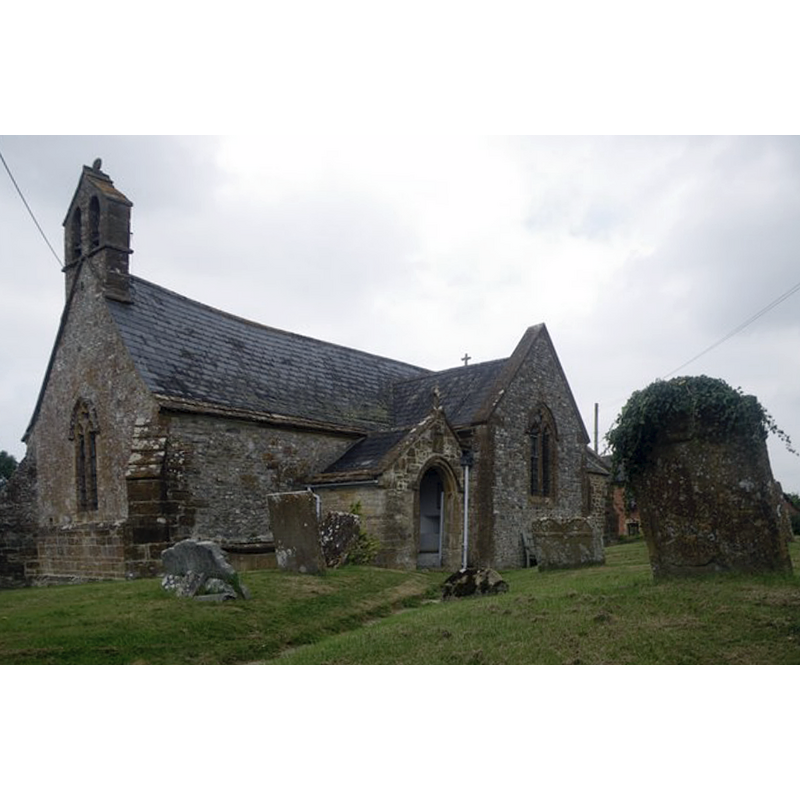
Image copyright © Geoff Young, 2011
CC-BY-SA-2.0
Results: 1 records
view of church exterior - southwest view
Scene Description: Source caption: "St.James church, Chillington. Renovated several times over the intervening years, the church was originally built in the 13th century."
Copyright Statement: Image copyright © Geoff Young, 2011
Image Source: digital photograph taken 30 July 2011 by Geoff Young [www.geograph.org.uk/photo/2577158] [accessed 21 February 2018]
Copyright Instructions: CC-BY-SA-2.0
INFORMATION
Font ID: 13406CHI
Object Type: Baptismal Font1?
Font Century and Period/Style: 13th century, Early English
Church / Chapel Name: Parish Church of St. James
Church Patron Saint(s): St. James
Church Address: Lambert Lane, Lower Chillington, Ilminster TA19 0PU, UK -- Tel.: +44 1460 240228
Site Location: Somerset, South West, England, United Kingdom
Directions to Site: Located off (N) the A30, 5-6 km WNW of Crewkerne, 8 km E of Chard
Ecclesiastic Region: Diocese of Bath & Wells
Historical Region: Hundred of South Petherton
Additional Comments: disappeared font? (the one fvrom the 13thC church here; were Wade & Wade reporting their visit or an earlier source? the 1909 mention in the VCH must be for a modern font)
Font Notes:
Click to view
No entry found for this Chillington in the Domesday survey. Wade & Wade (1929) mention "an early font". Not mentioned in Pevsner (1958). The entry for this parish in the Victoria County History (Somerset, vol. 4, 1978) notes: "The church at Chillington first occurs as a dependent chapel of South Petherton at the end of the 13th century [...] The chancel is partly of the 13th century [...] extensive restoration took place in 1909, when the chancel roof was replaced, the organ chamber constructed, and the font largely renewed" [NB: whatever the last two words may mean in this context; replaced?]. No font mentioned in the British Listed Buildings listing for this church [Listing NGR: ST3897111087].
COORDINATES
UTM: 30U 509211 5638254
Latitude & Longitude (Decimal): 50.895871, -2.869019
Latitude & Longitude (DMS): 50° 53′ 45.14″ N, 2° 52′ 8.47″ W
MEDIUM AND MEASUREMENTS
Material: stone
REFERENCES
- Victoria County History [online], University of London, 1993-. URL: https://www.british-history.ac.uk.
- Wade, G.H., Somerset, London: Methurn & Co., 1929, [http://www.gutenberg.org/files/12287/12287-h/12287-h.htm] [accessed 11 March 2008]