Charlton Musgrove / Cerletone
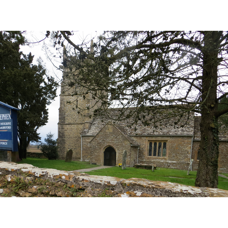
Image copyright © Peter Wood, 2013
CC-BY-SA-2.0
Results: 1 records
view of church exterior - south view
Scene Description: EXT S digital photograph taken 13 March 2013 by Peter Wood [www.geograph.org.uk/photo/3373830] [accessed 18 April 2018]
Copyright Statement: Image copyright © Peter Wood, 2013
Image Source: digital photograph taken 13 March 2013 by Peter Wood [www.geograph.org.uk/photo/3373830] [accessed 18 April 2018]
Copyright Instructions: CC-BY-SA-2.0
INFORMATION
Font ID: 13402CHA
Object Type: Baptismal Font1
Font Century and Period/Style: 17th century[re-tooled?], Carline? / Jacobean? [altered?]
Church / Chapel Name: Parish Church of St. Stephen
Font Location in Church: Inside the church
Church Patron Saint(s): St. Stephen
Church Address: Rectory Ln, Wincanton BA9 8BJ, UK -- Tel.: +44 1963 32928
Site Location: Somerset, South West, England, United Kingdom
Directions to Site: Located off (E) the B3081, N of the A303, 2 km NNE of Wincanton
Ecclesiastic Region: Diocese of Bath & Wells
Historical Region: Hundred of Wincanton [in Domesday] -- Hundred of Norton Ferris
Additional Comments: disappeared font? (the one from the late-12thC church here)
Font Notes:
Click to view
There is an entry for Charlton [Musgrove] [variant spelling] in the Domesday survey [http://opendomesday.org/place/ST7229/charlton-musgrove/] [accessed 18 April 2018], but it mentions neither cleric nor church in it. Wade & Wade (1929) report an "odd-looking font" in this church. Pevsner (1958) writes: "Octagonal with carved flowers, cross, etc., on square panels. It might be of c. 1660-70, re-tooled." The entry for this parish in the Victoria County History (Somerset, vol. 7, 1999) notes: "In the later 12th century John de Rivers granted the church to Bruton priory, but in 1214 Robert de Musgrove successfully claimed the advowson against the canons [...] church of ST. STEPHEN, so dedicated by 1544 [...] The plan suggests a 12th-century origin with refenestration of the chancel in the 14th century and remodelling of the nave in the 15th or the early 16th century"; the VCH entry does not mention a font in it. The parish register for baptisms starts in 1538 [http://www.somerset.gov.uk/archives/asp/parish.asp?Parish=Charlton+Musgrove] [accessed 9 March 2008]. The entry for this church in Historic England [Listing NGR: ST7201329909] reports an "octagonal font of mid Cl7" in it.
COORDINATES
UTM: 30U 541982 5657533
Latitude & Longitude (Decimal): 51.067778, -2.400833
Latitude & Longitude (DMS): 51° 4′ 4″ N, 2° 24′ 3″ W
MEDIUM AND MEASUREMENTS
Material: stone
Font Shape: octagonal, mounted
Basin Interior Shape: round
Basin Exterior Shape: octagonal
REFERENCES
- Victoria County History [online], University of London, 1993-. URL: https://www.british-history.ac.uk.
- Pevsner, Nikolaus, South and West Somerset, Harmondsworth: Penguin Books, 1958, p. 122
- Wade, G.H., Somerset, London: Methurn & Co., 1929, [http://www.gutenberg.org/files/12287/12287-h/12287-h.htm] [accessed 9 March 2008]