Tetbury/ Teteberie

Image copyright © Colin Smith, 2025
Standing permission
Results: 9 records
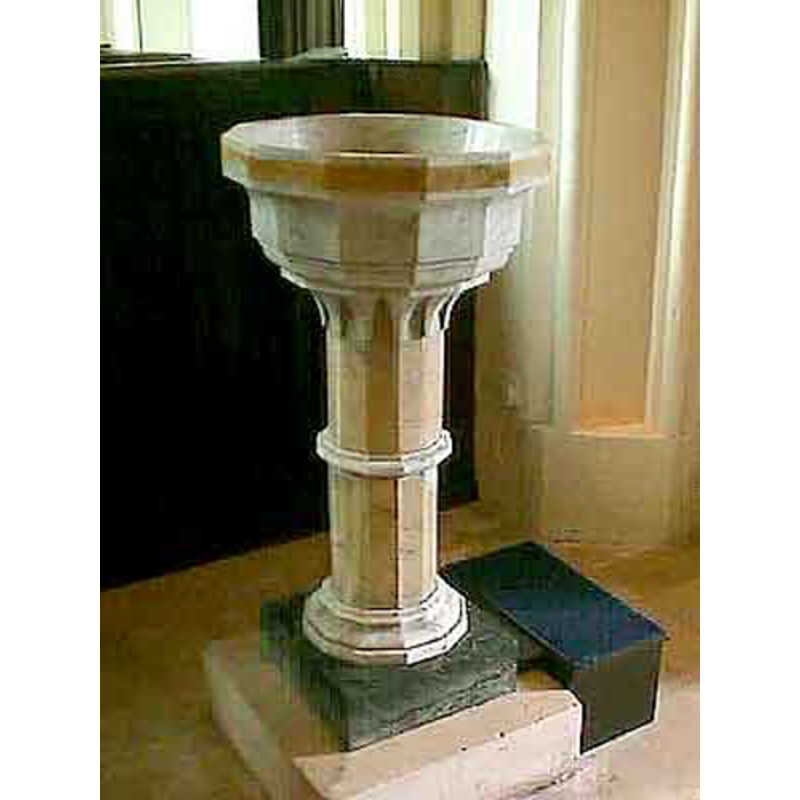
view of font and cover
Scene Description: the modern font in use
Copyright Statement: Image copyright © Colin Smith, 2025
Image Source: digital photograph 7 June 2025 by Colin Smith
Copyright Instructions: Standing permission
view of font and cover
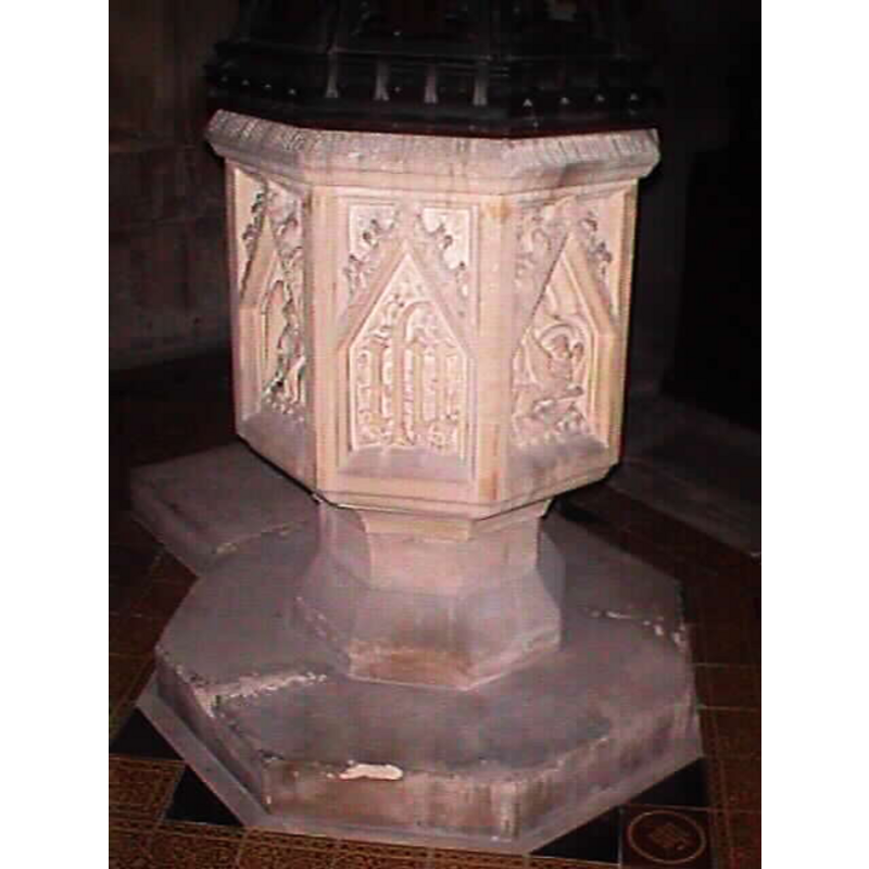
Scene Description: the ca.-1848 baptismal font from St. Saviour's
Copyright Statement: Image copyright © John Wilkes, 2009
Image Source: digital photograph by John Wilkes
Copyright Instructions: Standing permission
view of font
Copyright Statement: Image copyright © John Wilkes, 2008
Image Source: digital photograph by John Wilkes, in The Gloucestershire Photo Library [http://www.allthecotswolds.com/] [accessed 3 January 2008]
Copyright Instructions: Standing permission
view of church exterior - south view - detail
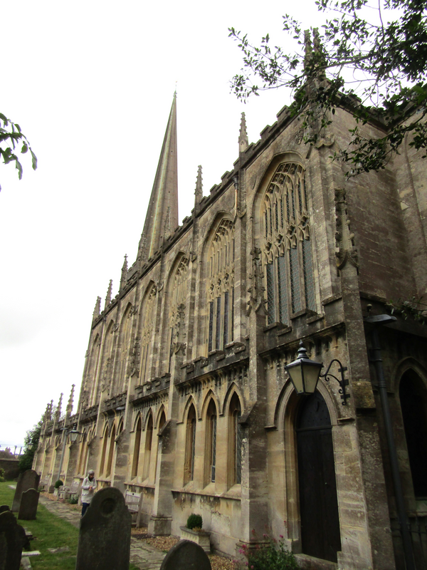
Copyright Statement: Image copyright © Colin Smith, 2025
Image Source: digital photograph 7 June 2025 by Colin Smith
Copyright Instructions: Standing permission
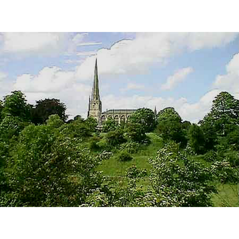
view of church exterior - northwest view
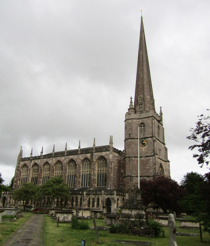
Copyright Statement: Image copyright © Colin Smith, 2025
Image Source: digital photograph 7 June 2025 by Colin Smith
Copyright Instructions: Standing permission
view of church exterior
Copyright Statement: Image copyright © John Wilkes, 2008
Image Source: digital photograph by John Wilkes, in The Gloucestershire Photo Library [http://www.allthecotswolds.com/] [accessed 3 January 2008]
Copyright Instructions: Standing permission
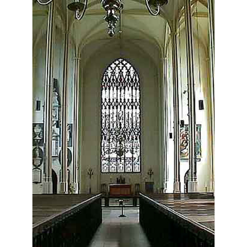
view of church interior - looking east
Copyright Statement: Image copyright © Colin Smith, 2025
Image Source: digital photograph 7 June 2025 by Colin Smith
Copyright Instructions: Standing permission
view of church interior - nave - looking west
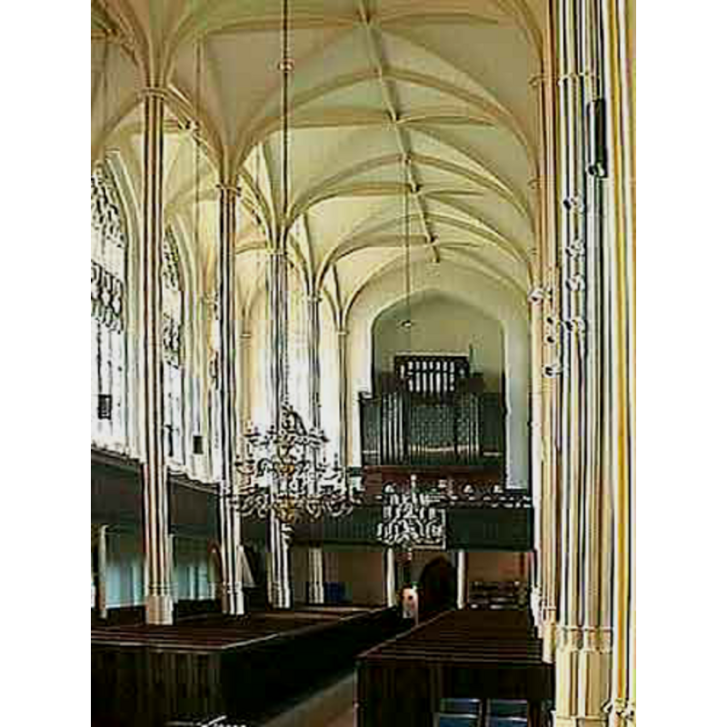
Copyright Statement: Image copyright © John Wilkes, 2008
Image Source: digital photograph by John Wilkes, in The Gloucestershire Photo Library [http://www.allthecotswolds.com/] [accessed 3 January 2008]
Copyright Instructions: Standing permission
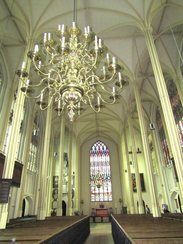
view of church interior - nave - looking east
Copyright Statement: Image copyright © John Wilkes, 2008
Image Source: digital photograph by John Wilkes, in The Gloucestershire Photo Library [http://www.allthecotswolds.com/] [accessed 3 January 2008]
Copyright Instructions: Standing permission
INFORMATION
Font ID: 13293TET
Object Type: Baptismal Font1?
Font Century and Period/Style: 14th century, Medieval
Church / Chapel Name: Parish Church of St. Mary the Virgin
Church Patron Saint(s): St. Mary the Virgin
Church Address: Church St, Tetbury GL8 8JG, UK -- Tel.: +44 1666 500088
Site Location: Gloucestershire, South West, England, United Kingdom
Directions to Site: Located on the A433, 18 km SW of Cirencester
Ecclesiastic Region: Diocese of Gloucester
Historical Region: Hundred of Longtree
Additional Comments: disappeared fonts? (the font of the original 7thC minster church and the font of the medieval church of the 14thC)
Font Notes:
Click to view
There is an entry for Tetbury [variant spelling] in the Domesday survey [https://opendomesday.org/place/ST8993/tetbury/] [accessed 20 February 2019]; it mentions a priest but not a church in it, though there must have been one there. The entry for this parish in the Victoria County History (Gloucester, vol. 11, 1976) notes: "The minster church mentioned in 681 [...] is not otherwise recorded, but there was presumably a church at Tetbury in 1086 when a priest was recorded on the manor", and adds that the medieval predecessor of the present church "was a rambling building, apparently dating largely from the 14th century; [...] it was re-dedicated in 1315." There is no mention of a font in the VCH entry for this parish. A font here is illustrated in The Gloucestershire Photo Library [www.allthecotswolds.com/] [accessed 3 January 2008]. The baptismal font, contemporary with the late 18th-century building, consists of a dodecagonal basin raised on a slender pedestal and lower base of the same shape, and a double plinth, both volumes square. [NB: the old church building dated from ca. 1400, but we have no information about its font]. [NB: the church of St. Saviour, built in 1848 to cover for the needs of the less wealthy citizens of Tetbury, has, paradoxically, a much grander baptismal font; it is illustrated in Verey (1982)]
Credit and Acknowledgements: We are grateful to John Wilkes, of The Gloucestershire Photo Library [www.allthecotswolds.com], and to Colin Smith for their photographs of this church and fonts.
COORDINATES
UTM: 30U 558170 5720815
Latitude & Longitude (Decimal): 51.635339, -2.159469
Latitude & Longitude (DMS): 51° 38′ 7.22″ N, 2° 9′ 34.09″ W
REFERENCES
- Victoria County History [online], University of London, 1993-. URL: https://www.british-history.ac.uk.