Tibberton nr. Gloucester / Tebriston
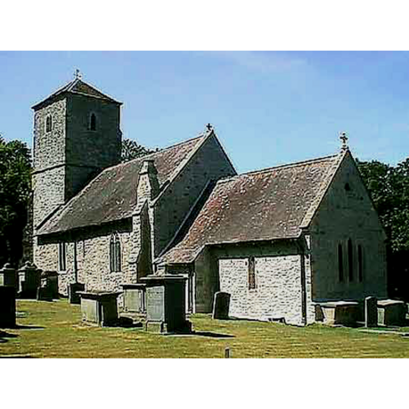
Image copyright © John Wilkes, 2008
Standing permission
Results: 2 records
view of church exterior - southeast view
Copyright Statement: Image copyright © John Wilkes, 2008
Image Source: digital photograph by John Wilkes, in The Gloucestershire Photo Library [http://www.allthecotswolds.com/] [accessed 2 January 2008]
Copyright Instructions: Standing permission
view of church interior - chancel
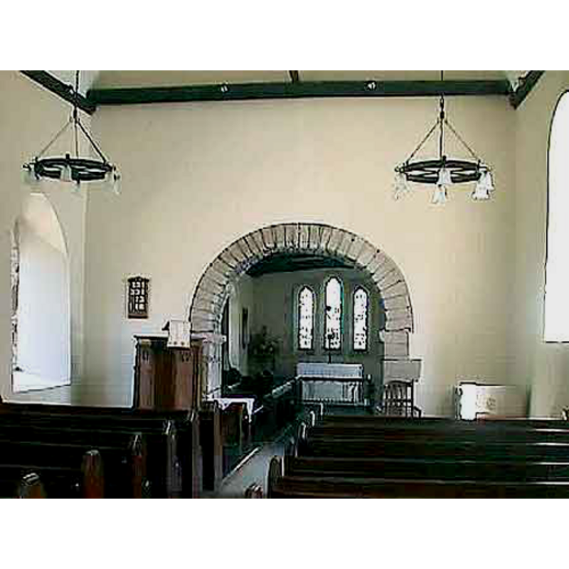
Copyright Statement: Image copyright © John Wilkes, 2008
Image Source: digital photograph by John Wilkes, in The Gloucestershire Photo Library [http://www.allthecotswolds.com/] [accessed 2 January 2008]
Copyright Instructions: Standing permission
INFORMATION
Font ID: 13292TIB
Object Type: Baptismal Font1?
Font Century and Period/Style: 11th - 12th century, Norman
Church / Chapel Name: Parish Church of the Holy Trinity
Church Patron Saint(s): The Holy Trinity
Church Address: Court Farm, Tibberton, Gloucestershire GL19 3AF
Site Location: Gloucestershire, South West, England, United Kingdom
Directions to Site: Located off (S) the B4215, 8 km WNW of Gloucester
Ecclesiastic Region: Diocese of Gloucester
Additional Comments: disappeared font? the earlier font(s) of this church?
Font Notes:
Click to view
There is a mention of this Tibberton [variant spelling] in the Domesday survey [http://discovery.nationalarchives.gov.uk/details/r/D7333526] [accessed 1 October 2014]. A modern font here is noted in Verey & Brooks (1999-2002). "Font. 1920; stone, octagonal." The present baptismal font consists of an octagonal basin the front side of which bears a trefflée cross; the underbowl is decorated with graded mouldings; angular moulding at the centre ring; octagonal stema dn lower base; polygonal plinth with kneeling stone prolongation of one side. This font is modern and bears an inscription related to World War I. [NB: the fabric of the church goes back to the Norman period, but we have no information on the earlier font(s) of this church].
Credit and Acknowledgements: We are grateful to John Wilkes, of The Gloucestershire Photo Library [www.allthecotswolds.com], for the photographs of this church and font.
COORDINATES
UTM: 30U 544415 5749569
Latitude & Longitude (Decimal): 51.895114, -2.354539
Latitude & Longitude (DMS): 51° 53′ 42.41″ N, 2° 21′ 16.34″ W
LID INFORMATION
Date: modern
Material: wood
Apparatus: no
Notes: octagonal and flat, with ring handle
REFERENCES
- Verey, David, Gloucestershire, London: Penguin Books, 1999-2002, vol. 2: 760