Weston Colville / Westone
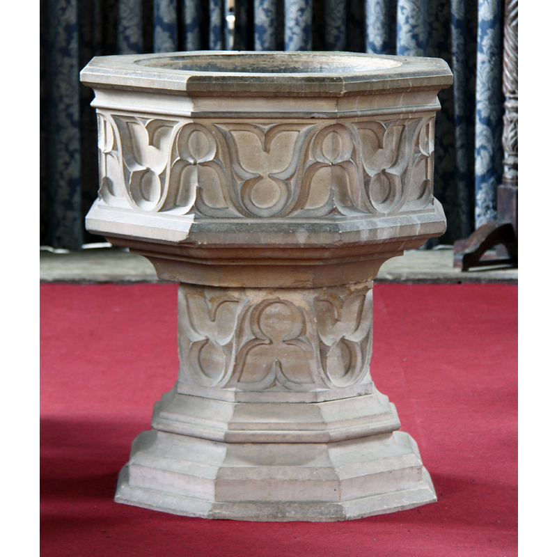
Image copyright © John Salmon, 2015
CC-BY-SA-2.0
Results: 3 records
view of font
Scene Description: the modern font in use at present; replaced a wooden font in 1841 [cf. FontNotes]
Copyright Statement: Image copyright © John Salmon, 2015
Image Source: digital photograph taken 10 August 2015 by John Salmon [www.geograph.org.uk/photo/4663306] [accessed 19 May 2016]
Copyright Instructions: CC-BY-SA-2.0
view of church exterior - south view
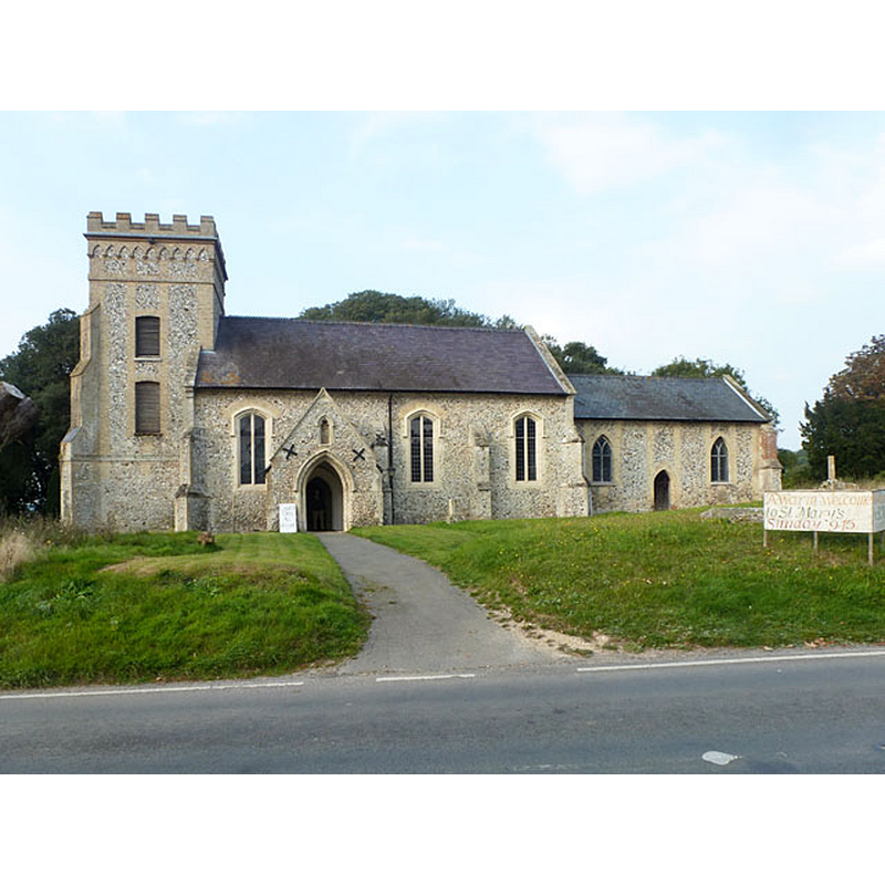
Copyright Statement: Image copyright © Robin Webster, 2015
Image Source: digital photograph taken 3 October 2015 by Robin Webster [www.geograph.org.uk/photo/4685073] [accessed 19 May 2016]
Copyright Instructions: CC-BY-SA-2.0
view of church interior - nave - looking east
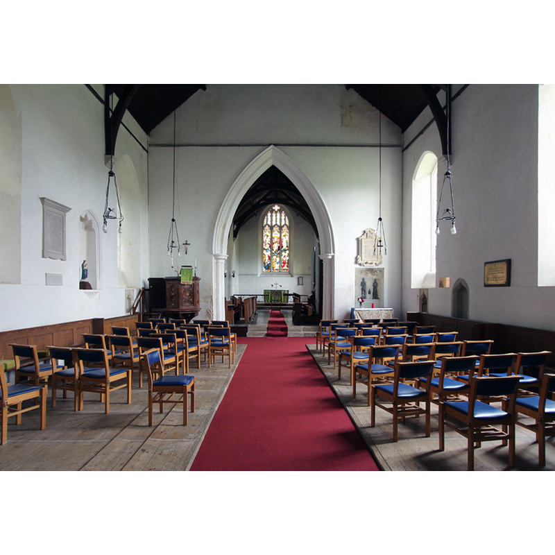
Copyright Statement: Image copyright © John Salmon, 2015
Image Source: digital photograph taken 10 August 2015 by John Salmon [www.geograph.org.uk/photo/4663265] [accessed 19 May 2016]
Copyright Instructions: CC-BY-SA-2.0
INFORMATION
Font ID: 13259COL
Object Type: Baptismal Font1?
Font Century and Period/Style: 11th century, Pre-Conquest
Church / Chapel Name: Parish Church of the Blessed Virgin
Church Patron Saint(s): St. Mary the Virgin
Church Address: B1052, Church End, Weston Colville, Cambridgeshire CB1 5PE
Site Location: Cambridgeshire, East, England, United Kingdom
Directions to Site: Located on the B1052, 10 km NNE of Linton, 10 S of Newmarket, 16 SE of Cambridge, at the border with Suffolk
Ecclesiastic Region: Diocese of Ely
Historical Region: Hundred of Radfield
Additional Comments: disappeared font? (The one of the ca.1044 church here, and the wooden font that was replaced in 1841)
Font Notes:
Click to view
There are five entries for Weston [Colville] [variant spelling] in the Domesday survey [http://opendomesday.org/place/TL6153/weston-colville/] [accessed 19 May 2016], none of which mention cleric or church in it. The Victoria County History (Cambridge..., vol. 6, 1978) notes: "About 1044 Thurstan left land at Weston to the village church [...] William de Warenne (d. 1088) gave Weston church with its advowson to Lewes priory [...] The elaborately moulded south doorway and the porch, where an ogee-headed niche once contained an image of the Virgin, [...] are probably late-14th-century. [...] The fittings are mainly early19th-century and include a font replacing a wooden one that was still in use in 1841." [NB: we have no information on the whereabouts of the font of the ca.1044 church here, or of the wooden font that was replaced in 1841]
COORDINATES
UTM: 31U 319341 5781296
Latitude & Longitude (Decimal): 52.15257, 0.35921
Latitude & Longitude (DMS): 52° 9′ 9.25″ N, 0° 21′ 33.16″ E
REFERENCES
- Victoria County History [online], University of London, 1993-. URL: https://www.british-history.ac.uk.