Stapleford nr. Cambridge / Stapleforde
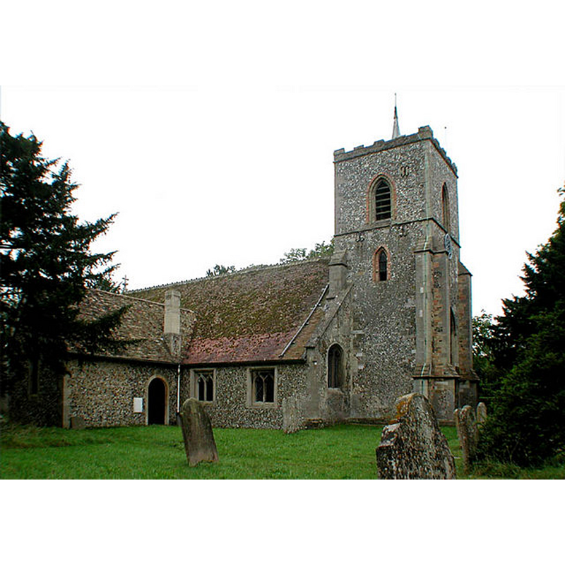
Image copyright © John Salmon, 2007
CC-BY-SA-2.0
Results: 2 records
view of church exterior - northwest view
Copyright Statement: Image copyright © John Salmon, 2007
Image Source: digital photograph taken 14 September 2002 by John Salmon [www.geograph.org.uk/photo/334044] [accessed 22 June 2016]
Copyright Instructions: CC-BY-SA-2.0
view of church interior - nave - looking east
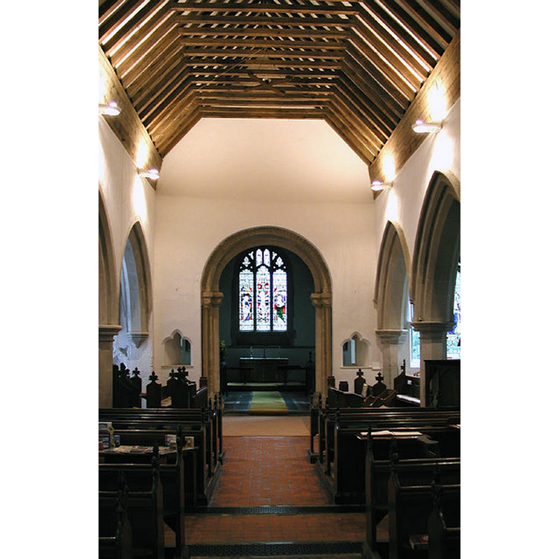
Copyright Statement: Image copyright © John Salmon, 2007
Image Source: digital photograph taken 14 September 2002 by John Salmon [www.geograph.org.uk/photo/334045] [accessed 22 June 2016]
Copyright Instructions: CC-BY-SA-2.0
INFORMATION
Font ID: 13242STA
Object Type: Baptismal Font1
Font Century and Period/Style: 13th century, Early English
Church / Chapel Name: Parish Church of St. Andrew
Font Location in Church: Inside the church
Church Patron Saint(s): St. Andrew
Church Address: Mingle Lane, Stapleford, Cambridgeshire CB2 5SY
Site Location: Cambridgeshire, East, England, United Kingdom
Directions to Site: Located off € the A3101, just SE of Great Shelford. 6-7 km SSE of Cambridge
Ecclesiastic Region: Diocese of Ely
Historical Region: Hundred of Thriplow
Additional Comments: disappeared font? (the one from the mid-12thC (?) church here)
Font Notes:
Click to view
There is an entry for this Stapleford [variant spelling] in the Domesday survey [http://opendomesday.org/place/TL4751/stapleford/] [accessed 22 June 2016], but it mentions neither cleric nor church in it. The entry for this church in English Heritage [Listing NGR: TL4709652114] (1962) reports: "The font is C13, tapering octagon on octagonal stem." The Victoria County History (Cambridge…, vol. 8, 1982) notes: "Stapleford had a church, presumably belonging to Ely priory, by the mid 12th century. […] The earliest surviving part is the Norman chancel arch […] The plain, octagonal font is probably 13th-century." [NB: we have no information on the original font of the Norman church]
COORDINATES
UTM: 31U 305331 5781661
Latitude & Longitude (Decimal): 52.151089, 0.154473
Latitude & Longitude (DMS): 52° 9′ 3.92″ N, 0° 9′ 16.1″ E
MEDIUM AND MEASUREMENTS
Material: stone
Font Shape: octagonal, mounted
Basin Interior Shape: round
Basin Exterior Shape: octagonal
REFERENCES
- Victoria County History [online], University of London, 1993-. URL: https://www.british-history.ac.uk.