Parson Drove No. 2
Results: 2 records
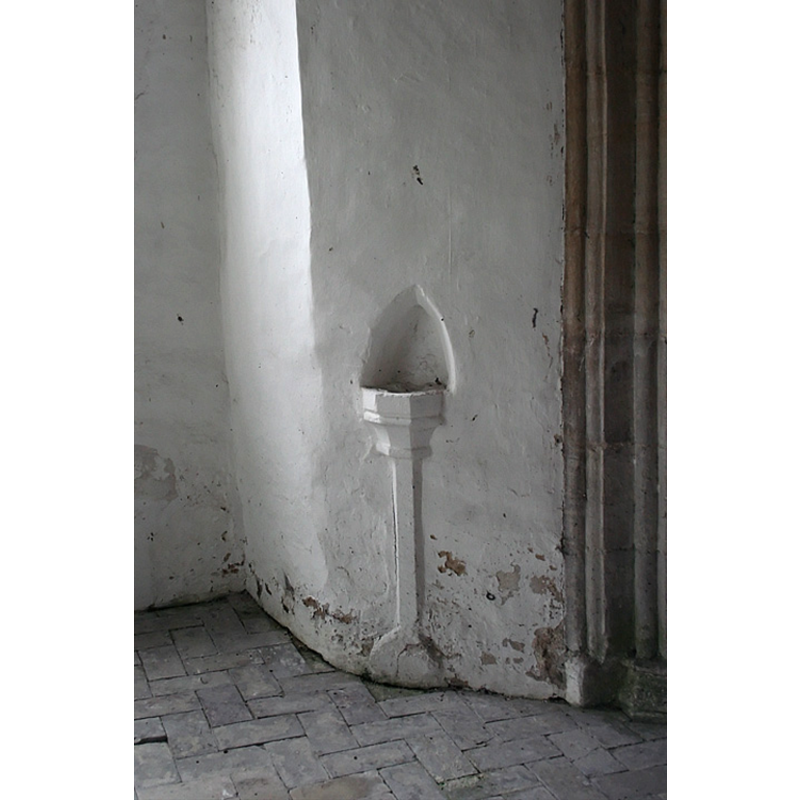
view of stoup in context
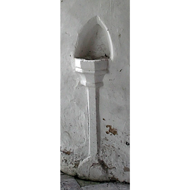
view of stoup
INFORMATION
Font ID: 13229PAR
Object Type: Stoup
Font Century and Period/Style: 15th century, Perpendicular
Church / Chapel Name: Chapel of St. John the Baptist [Parish Church of Parson Drove since 1870]
Font Location in Church: Wall-mounted, by the entrance
Church Patron Saint(s): St. John the Baptist
Church Address: 13 Main Road, Parson Drove, Cambridgeshire PE13 4LF
Site Location: Cambridgeshire, East, England, United Kingdom
Directions to Site: Located 7 km SW of Leverignton, 11 km W of Wisbech
Ecclesiastic Region: Diocese of Ely
Historical Region: Hundred of Wisbech
Font Notes:
Click to view
No individual entry found for Parson Drove in the Domesday survey. The Victoria County History (Cambridge..., vol. 4, 2002) notes: "The chapel of St. John the Baptist, since 1870 (see Leverington) the parish church of Parson Drove, attained at a comparatively early date a more independent status than was usual with parochial chapelries. [...] The earliest portion of the present fabric is the north doorway, which belongs to the first half of the 13th century." A wall-mounted polygonal basin with moulded side and a semi-column pedestal base, by the entrance; probably from the same period as the font [cf. Index entry for Parson Drove No. 1].
Credit and Acknowledgements: We are grateful to Mark Ynys-Mon, of Cambridgeshire Churches [www.druidic.org/camchurch/] for the photographs of this stoup.
COORDINATES
UTM: 31U 300755 5838625
Latitude & Longitude (Decimal): 52.660908, 0.053769
Latitude & Longitude (DMS): 52° 39′ 39.27″ N, 0° 3′ 13.57″ E
MEDIUM AND MEASUREMENTS
Material: stone
Font Shape: polygonal, wall mounted
Basin Interior Shape: round
Basin Exterior Shape: polygonal
REFERENCES
- Victoria County History [online], University of London, 1993-. URL: https://www.british-history.ac.uk.