Graveley nr. St. Neots / Gravelei
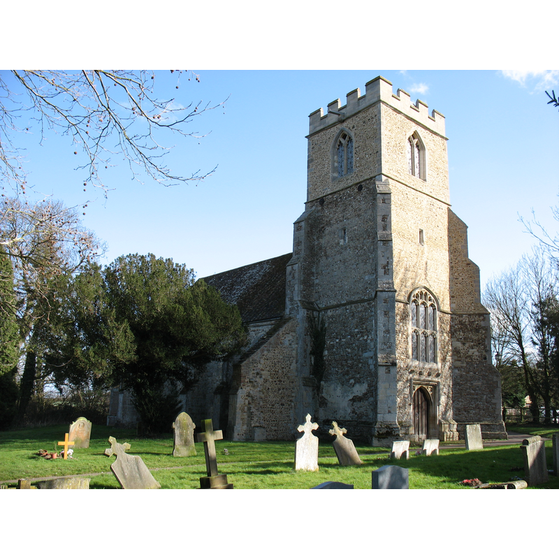
Image copyright © David Purchase, 2012
CC-BY-SA-2.0
Results: 1 records
view of church exterior - northwest view
Copyright Statement: Image copyright © David Purchase, 2012
Image Source: digital photograph taken 3 March 2012 by David Purchase [www.geograph.org.uk/photo/2832502] [accessed 4 July 2016]
Copyright Instructions: CC-BY-SA-2.0
INFORMATION
Font ID: 13213GRA
Object Type: Baptismal Font1
Font Century and Period/Style: 12th century (mid?), Late Norman
Church / Chapel Name: Parish Church of St. Botolph
Font Location in Church: [cf. FontNotes]
Church Patron Saint(s): St. Botulph [aka St. Botolph, Botolph of Thorney, Botulf]
Church Address: 4 Setchell Close, Graveley, Cambridgeshire PE19 6PW
Site Location: Cambridgeshire, East, England, United Kingdom
Directions to Site: Located off (W) the A1198, (with access also E from the B1043), NE of St. Neots
Ecclesiastic Region: Diocese of Ely
Historical Region: Hundred of Papworth
Additional Comments: disappeared font? (the one from the mid-12thC church here)
Font Notes:
Click to view
There is an entry for this Graveley [variant spelling] in the Domesday survey [http://opendomesday.org/place/TL2464/graveley/] [accessed 4 July 2016], but it mentions neither cleric not church in it. There is no mention of a font in the RCHM entry (1968) for this church. The Victoria County History (Cambridge and the Isle of Ely, vol. 9, 1989) notes: "The patronage of Graveley church belonged to Ramsey abbey by the mid 12th century […] Fragments of Norman stonework survive from an older church. It was substantially rebuilt from the late 13th century […] 
J. P. Birkett had the church thoroughly restored under Somers Clark in 1874-5 […] A new font was installed […] to replace the medieval one recorded in 1748" [NB: this refers to a 1748 entry in the British Library catalogue (B.L. Add. MS. 5820, f. 62) which records a medieval font in this church [probably the original one from the 13th or 14th century. [NB: the Victorian font is not listed in this Index on account of its late date -- We have no information on the whereabouts of the earlier font; probably disappeared; was it the original from the mid-12th century church here?].
J. P. Birkett had the church thoroughly restored under Somers Clark in 1874-5 […] A new font was installed […] to replace the medieval one recorded in 1748" [NB: this refers to a 1748 entry in the British Library catalogue (B.L. Add. MS. 5820, f. 62) which records a medieval font in this church [probably the original one from the 13th or 14th century. [NB: the Victorian font is not listed in this Index on account of its late date -- We have no information on the whereabouts of the earlier font; probably disappeared; was it the original from the mid-12th century church here?].
COORDINATES
UTM: 30U 692937 5793724
Latitude & Longitude (Decimal): 52.260018, -0.172881
Latitude & Longitude (DMS): 52° 15′ 36.07″ N, 0° 10′ 22.37″ W
REFERENCES
- Victoria County History [online], University of London, 1993-. URL: https://www.british-history.ac.uk.