Kennett / Chenet
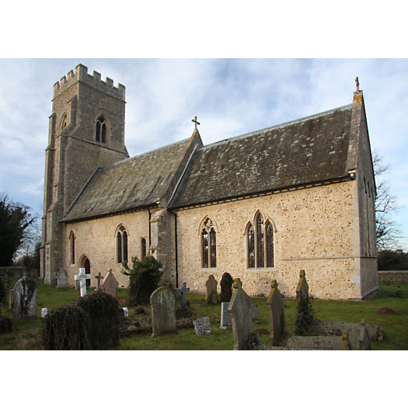
Image copyright © Bob Jones, 2009
CC-BY-SA-2.0
Results: 3 records
view of church exterior - southeast view
Copyright Statement: Image copyright © Bob Jones, 2009
Image Source: digital photograph taken 20 January 2009 by Bob Jones [www.geograph.org.uk/photo/1128404] [accessed 20 July 2016]
Copyright Instructions: CC-BY-SA-2.0
view of church exterior in context - southeast view
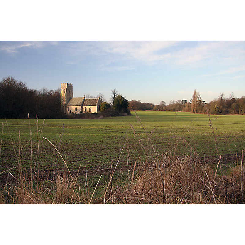
Scene Description: Source caption: "Kennett Church. Viewed across the fields from the Herringswell Road."
Copyright Statement: Image copyright © Bob Jones, 2009
Image Source: digital photograph taken 20 January 2009 by Bob Jones [www.geograph.org.uk/photo/1128406] [accessed 20 July 2016]
Copyright Instructions: CC-BY-SA-2.0
design element - motifs - moulding


INFORMATION
Font ID: 13211KEN
Object Type: Baptismal Font1
Font Century and Period/Style: 14th century (early?), Decorated
Church / Chapel Name: Parish Church of St. Nicholas
Font Location in Church: Inside the church
Church Patron Saint(s): St. Nicholas of Myra
Church Address: Kennett, Cambridgeshire CB8 7FG
Site Location: Cambridgeshire, East, England, United Kingdom
Directions to Site: Located off (N) the B1085 and the A14, 5 km NE of Newmarket, 8 km NW of Bury St. Edmund's
Ecclesiastic Region: Diocese of Ely
Historical Region: Hundred of Staploe
Additional Comments: (disappeared font? (the one from the late-12thC church here)
Font Notes:
Click to view
There is an entry for Kennett [variant spelling] in the Domesday survey [http://opendomesday.org/place/TL6968/kennett/] [accessed 20 July 2016], but it mentions neither cleric nor church in it. The Victoria County History (Cambridge…, vol. 10, 2002) notes: "The nave and north porch date from the late 12th and early 13th centuries, and the chancel from the 13th century. […] In the nave there are 14th-century arcades of four bays, with octagonal piers and double chamfered arches, and a 14th-century rood screen and font." Described in the Kennett Village web site [http://kennettvillage.co.uk] [accessed 25 October 2007]: "The font, early C14 square limestone with chamfered corners stands on single shaft with moulded capital and base and square plinth."
COORDINATES
UTM: 31U 328840 5795896
Latitude & Longitude (Decimal): 52.28673, 0.490526
Latitude & Longitude (DMS): 52° 17′ 12.23″ N, 0° 29′ 25.9″ E
MEDIUM AND MEASUREMENTS
Material: stone, limestone
Font Shape: square, mounted
Basin Exterior Shape: square
REFERENCES
- Victoria County History [online], University of London, 1993-. URL: https://www.british-history.ac.uk.