Kemble / Chemele
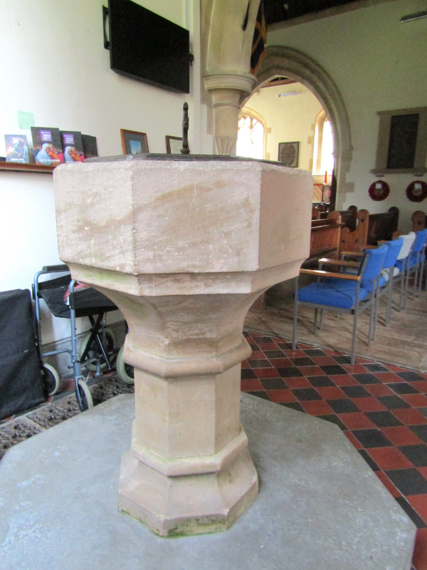
Image copyright © Colin Smith, 2025
Standing permission
Results: 5 records
view of font
Copyright Statement: Image copyright © Colin Smith, 2025
Image Source: digital photograph by Colin Smith
Copyright Instructions: Standing permission
view of font and cover in context
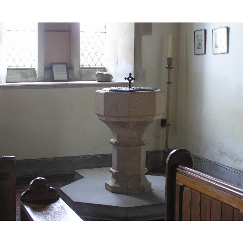
Copyright Statement: Image copyright © Steve Marsh, 2008
Image Source: digital photograph by Steve Marsh in [http://www.kemble.co.uk/resources/font.html] [accessed 22 October 2008]
Copyright Instructions: Permission received (e-mail of 23 October 2008)
view of font and cover
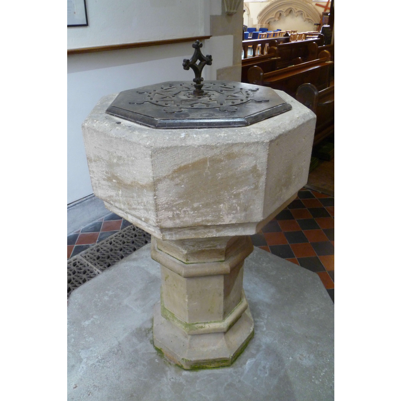
Copyright Statement: Image copyright © John Wilkes, 2014
Image Source: digital photograph taken 9 October 2014 by John Wilkes [replaces earlier photo by JW]
Copyright Instructions: Standing permission
view of church exterior - west tower - spire
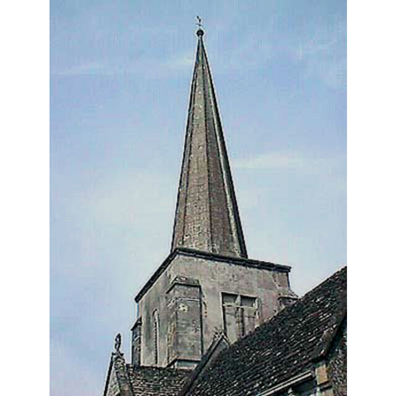
Copyright Statement: Image copyright © John Wilkes, 2007
Image Source: digital photograph by John Wilkes, 2007 [www.allthecotswolds.com]
Copyright Instructions: Standing permission
view of church interior - looking east
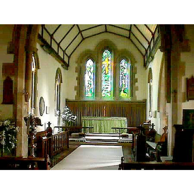
Copyright Statement: Image copyright © John Wilkes, 2007
Image Source: digital photograph by John Wilkes, 2007 [www.allthecotswolds.com]
Copyright Instructions: Standing permission
INFORMATION
Font ID: 13121KEM
Object Type: Baptismal Font1
Font Century and Period/Style: 13th - 15th century? [basin only] [re-tooled?] -- 19th century (late) [base only] [composite font?], Medieval [composite]
Church / Chapel Name: Parish Church of All Saints
Font Location in Church: Inside the church
Church Patron Saint(s): All Saints
Church Address: Limes Road, Kemble, Gloucestershire, GL7 6AE
Site Location: Gloucestershire, South West, England, United Kingdom
Directions to Site: Located 6 km from Cirencester
Ecclesiastic Region: Diocese of Gloucester
Historical Region: Hundred of Cicementone -- formerly in Wiltshire
Additional Comments: disappeared font? [the original font of this church] -- re-tooled basin? / composite font? -- additional photo from Kemble site; permit req'd email 22 Oct 2008 // reply rec'd from Steve Marsh 23 Oct 2008: ok to use -- his copyright]
Font Notes:
Click to view
There is an entry for Kemble [variant spelling] in the Domesday survey [http://domesdaymap.co.uk/place/ST9897/kemble/] [accessed 9 October 2014], but it mentions neirther cleric nor church in it. A font here is noted in Verey & Brooks (1999-2002): "Font. Plain, octagonal; shaft and base c.1877". The basin is octagonal and plain, and, if old, re-tooled [NB: the earlier part of the church, the tower may go back to the 13th century, but we have no information of the earlier font(s) of this church]
Credit and Acknowledgements: We are grateful to John Wilkes, of www.allthecotswolds.com, to Steve Marsh, of www.kemble.co.uk, and Colin Smith for their photographs of this church and font.
COORDINATES
UTM: 30U 567955 5724890
Latitude & Longitude (Decimal): 51.670872, -2.017305
Latitude & Longitude (DMS): 51° 40′ 15.14″ N, 2° 1′ 2.3″ W
MEDIUM AND MEASUREMENTS
Material: stone
Font Shape: octagonal, mounted
Basin Interior Shape: round
Basin Exterior Shape: octagonal
LID INFORMATION
Date: modern?
Material: wood
Apparatus: no
Notes: octagonal and flat, with metal decorations and cross handle/finial; appears modern
REFERENCES
- Verey, David, Gloucestershire, London: Penguin Books, 1999-2002, vol. :422