Girton nr. Cambridge / Gretone
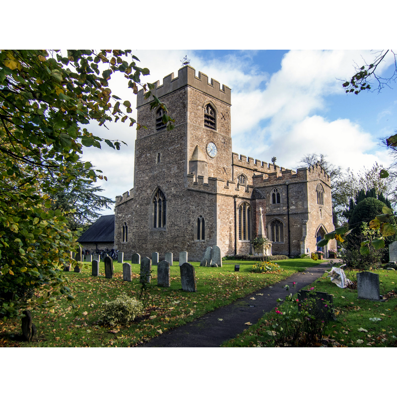
Image copyright © Kim Fyson, 2013
CC-BY-SA-2.0
Results: 2 records
view of church exterior
Copyright Statement: Image copyright © Kim Fyson, 2013
Image Source: digital photograph taken 3 November 2013 by Kim Fyson [www.geograph.org.uk/photo/3972466] [accessed 1 July 2016]
Copyright Instructions: CC-BY-SA-2.0
view of font and cover in context

Copyright Statement: Image copyright © Girton Village Website, 2007
Image Source: drawing in Grirton Village Website [http://www.girton-cambs.org.uk/churches/StAndrews/history.html] [accessed 26 October 2007]
Copyright Instructions: PERMISSION NOT AVAILABLE -- IMAGE NOT FOR PUBLIC USE
INFORMATION
Font ID: 13121GIR
Object Type: Baptismal Font1
Font Century and Period/Style: 13th - 14th century, Medieval
Church / Chapel Name: Parish Church of St. Andrew
Font Location in Church: Inside the church, in the W end
Church Patron Saint(s): St. Andrew
Church Address: 23 Cambridge Road, Girton, Cambridgeshire CB3 0PN
Site Location: Cambridgeshire, East, England, United Kingdom
Directions to Site: Located on the A14, NW of Cambridge
Ecclesiastic Region: Diocese of Ely
Historical Region: Hundred of Northstowe
Additional Comments: altered font? (re-tooled)
Font Notes:
Click to view
There are three entries ofr this Girton [variant spelling] in the Domesday survey [http://opendomesday.org/place/TL4262/girton/] [accessed 28 June 2016], none of which mention cleric or church in it. The entry for this church in English Heritage [Listing NGR: TL4238062328] (1962) notes: "Font, C13 retooled." The Victoria County History (Cambridge and the Isle of Ely, vol. 9, 1989) notes: "The church, which has always remained a rectory, although at first some incumbents were styled vicars, […] belonged from the 12th century to Ramsey abbey […] The lower west wall of the tower contains herringbone masonry, probably surviving from a 12th-century building. […] The plain octagonal font received in the early 17th century a cover with curving arches." Dated as 14th-century and illustrated in the Grirton Village Website [http://www.girton-cambs.org.uk/churches/StAndrews/history.html] [accessed 26 October 2007]: "14th century octagonal stone font [...] The font may have been installed in its present position, the centre of the earlier church, at about the time of the first recorded baptism which was in 1298"
COORDINATES
UTM: 31U 300818 5791798
Latitude & Longitude (Decimal): 52.2405, 0.082637
Latitude & Longitude (DMS): 52° 14′ 25.8″ N, 0° 4′ 57.49″ E
MEDIUM AND MEASUREMENTS
Material: stone
Font Shape: octagonal, mounted
Basin Interior Shape: round
Basin Exterior Shape: octagonal
LID INFORMATION
Date: 17th-century?
Material: wood
Notes: [cf. FontNotes]
REFERENCES
- Victoria County History [online], University of London, 1993-. URL: https://www.british-history.ac.uk.