Frampton Mansell / Frantone / Moises Frampton
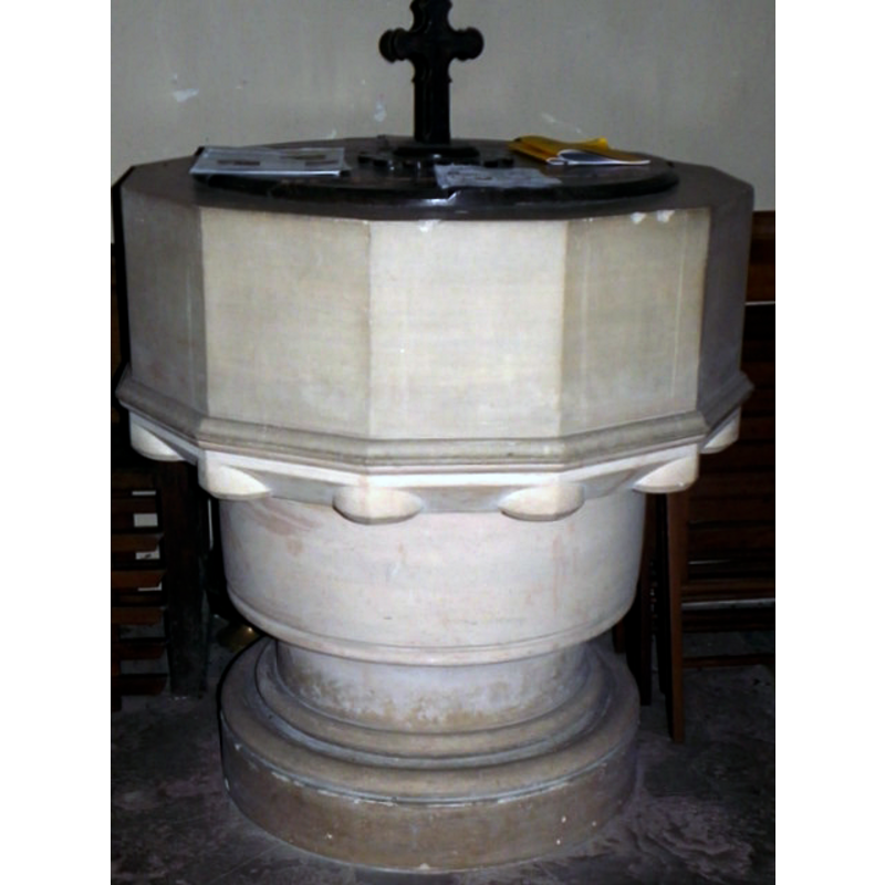
Image copyright © Maigheach-gheal, 2011
CC-BY-SA-2.0
Results: 2 records
view of font and cover
Scene Description: the mid-19thC font
Copyright Statement: Image copyright © Maigheach-gheal, 2011
Image Source: digital photograph taken 12 August 2011 by Maigheach-gheal [www.geograph.org.uk/photo/2697560] [accessed 12 February 2019]
Copyright Instructions: CC-BY-SA-2.0
view of church exterior in context
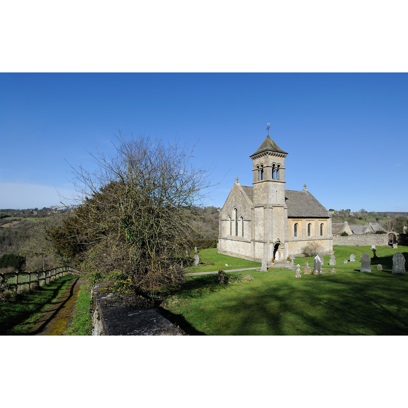
Scene Description: the mid-19thC church
Copyright Statement: Image copyright © Saffron Blaze, 2012
Image Source: digital photograph taken 5 March 2012 by Saffron Blaze [https://commons.wikimedia.org/wiki/File:Frampton_Mansell_Church_Wide2.jpg] [accessed 12 February 2019]
Copyright Instructions: CC-BY-SA-3.0
INFORMATION
Font ID: 13097FRA
Object Type: Baptismal Font1
Font Date: ca. 1841-1843?
Font Century and Period/Style: 19th century (mid?), Victorian
Church / Chapel Name: Parish Church of St. Luke
Font Location in Church: Inside the church
Church Patron Saint(s): St. Luke
Church Address: 3 Church View, Frampton Mansell, Stroud GL6 8JF, UK
Site Location: Gloucestershire, South West, England, United Kingdom
Directions to Site: Located off the A419, 8 km ESE of Stroud
Ecclesiastic Region: Diocese of Gloucester
Historical Region: Hundred of Bisley
Font Notes:
Click to view
There is an entry for Frampton [Mansell] [variant spelling] in the Domesday survey [https://opendomesday.org/place/SO9202/frampton-mansell/] [accessed 12 February 2019] but it mentions neither cleric nor church in it. Verey and Brooks (1999-2002) note: "Large dodecagonal font". The font consists of a dodecagonal basin with plain vertical sides, circular motifs at the angles of the underbowl; raised on an awkward two-volume cylindrical pedestal base; and a round moulded lower base. Flat round wooden cover. Probably from about the same date as the church itself, 1841-1843.
Credit and Acknowledgements: We are grateful to John Wilkes, of www.allthecotswolds.com, for the photographs of this church and font.
COORDINATES
UTM: 30U 561087 5730473
Latitude & Longitude (Decimal): 51.721858, -2.115642
Latitude & Longitude (DMS): 51° 43′ 18.69″ N, 2° 6′ 56.31″ W
MEDIUM AND MEASUREMENTS
Material: stone
Font Shape: dodecagonal, mounted
Basin Interior Shape: round
Basin Exterior Shape: dodecgonal
LID INFORMATION
Date: modern?
Material: wood
Apparatus: no
Notes: [cf. FontNotes]
REFERENCES
- Verey, David, Gloucestershire, London: Penguin Books, 1999-2002, vol. 1: 377