Wensley No. 1 / Vensela / Wandesleye / Wanslawe / Wendeslay / Wendreslaga / Wensele / Wenslagh / Wencelagh / Wenslaw / Wencelaw / Wentreslage / Wynselawe
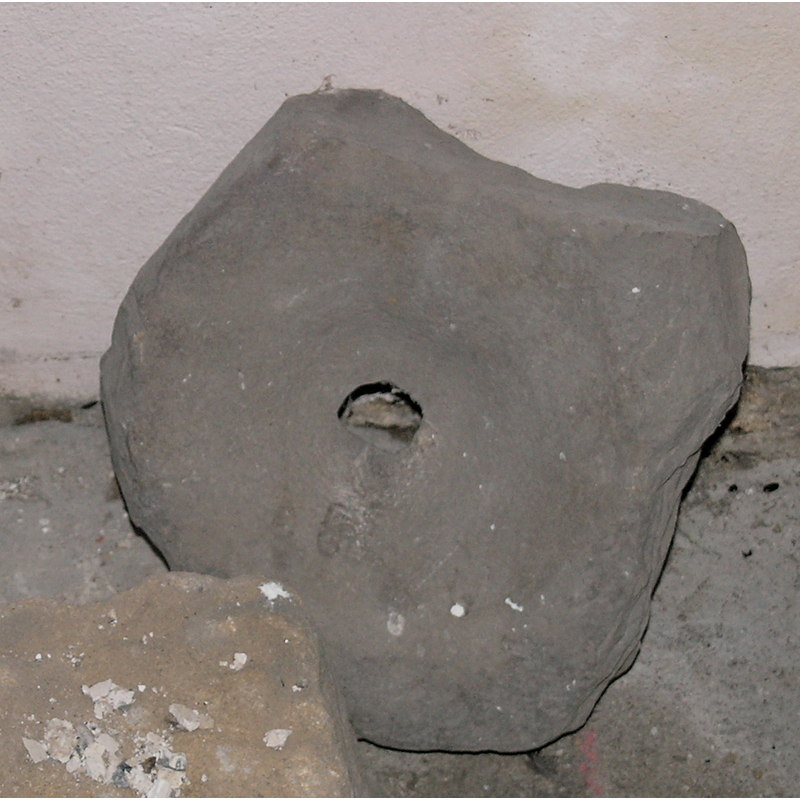
Image copyright © Colin Hinson, 2008
Standing permission
Results: 2 records
view of fragment
Copyright Statement: Image copyright © Colin Hinson, 2008
Image Source: digital photograph taken August 2007 by Colin Hinson [www.yorkshireCDbooks.com]
Copyright Instructions: Standing permission
view of fragment
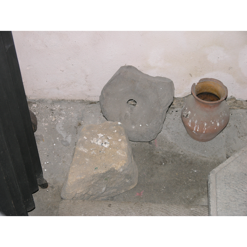
Copyright Statement: Image copyright © Colin Hinson, 2008
Image Source: digital photograph taken August 2007 by Colin Hinson [www.yorkshireCDbooks.com]
Copyright Instructions: Standing permission
INFORMATION
Font ID: 13083WEN
Object Type: Baptismal Font1, fragment
Font Century and Period/Style: 12th century, Norman
Church / Chapel Name: Parish Church of the Holy Trinity [redundant]
Font Location in Church: Inside the church, in the W end, by the later font
Church Patron Saint(s): The Holy Trinity
Church Notes: possible Anglo-Saxon church originally here
Church Address: Low Ln, Wensley, Leyburn DL8 4HX, UK
Site Location: North Yorkshire, Yorkshire and the Humber, England, United Kingdom
Directions to Site: Located off the A684, on the N bank of the Ure river, in Wensleydale, 2.5 km W of Leyburn, 32 km WNW of Ripon up the A6108
Ecclesiastic Region: Diocese of Leeds
Historical Region: Hundred of Land of Count Alan -- formerly in Richmondshire and the West Riding of Yorkshire
Additional Comments: disused font / damaged font / fragment of font [cf. FontNotes]
Font Notes:
Click to view
There are two entries for Wnesley [variant spellings] in the Domesday survey [https://opendomesday.org/place/SE0989/wensley/] [accessed 21 November 2019] neither of which mentions cleric or church in it. The entry for this parish in the Victoria County History (York North Riding, vol. 1, 2014) notes: "The church of Wensley is first mentioned in 1199, and the first known patron was Niel son of Alexander. [...] The church dates from about 1240, the south chancel wall being almost intact of that date"; no font mentioned in it. A fragment probably of the basin of an earlier font, perhaps the font of Norman times; all that remains now is area around the drain-hole. The entry for this church in Historic England [Listing NGR: SE0920789535] notes: "Church. C13, C14, C15, and 1719. [...] Octagonal font dated 1662, with contemporary wooden cover with pineapple finial." [cf. Index entry for Wensley No. 2 for the 16th/17th-century font now in use].
Credit and Acknowledgements: We are grateful to Colin Hinson, of www.yorkshireCDbooks.com, for the information on, and photographs of church and font
COORDINATES
UTM: 30U 574184 6017656
Latitude & Longitude (Decimal): 54.3014, -1.86
Latitude & Longitude (DMS): 54° 18′ 5.04″ N, 1° 51′ 36″ W
MEDIUM AND MEASUREMENTS
Material: stone
Number of Pieces: fragment
Drainage System: centre hole in basin
REFERENCES
- Victoria County History [online], University of London, 1993-. URL: https://www.british-history.ac.uk.