Mixbury / Misseberie
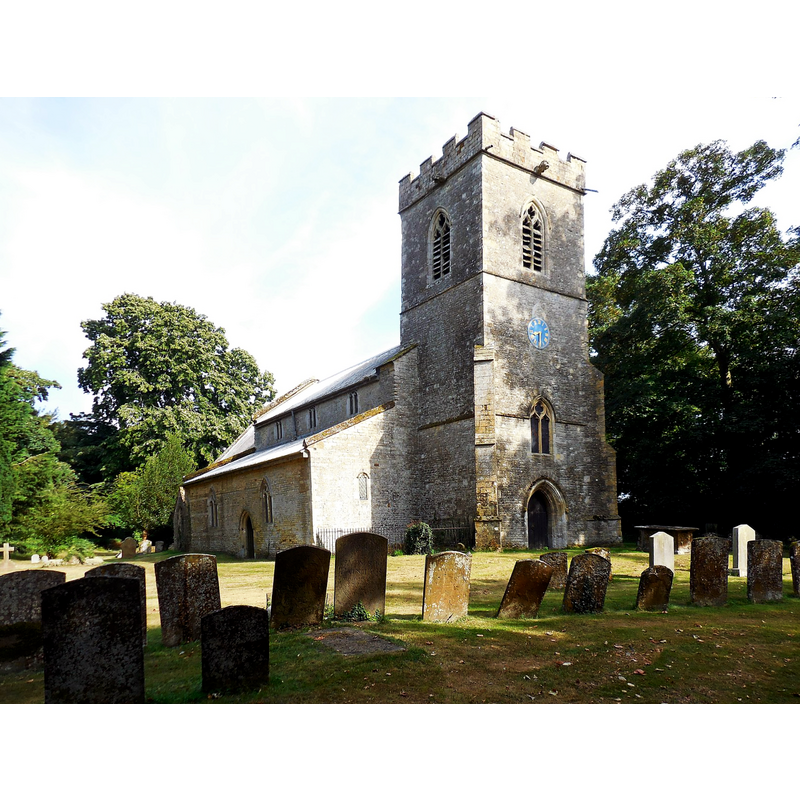
Image copyright © Ian Rob, 2016
CC-BY-SA-2.0
Results: 2 records
view of church exterior - northwest view
Copyright Statement: Image copyright © Ian Rob, 2016
Image Source: digital photograph taken 16 August 2016 by Ian Rob [www.geograph.org.uk/photo/5080729] [accessed 13 December 2016]
Copyright Instructions: CC-BY-SA-2.0
view of church exterior - southeast view
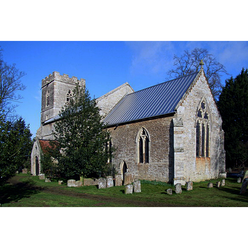
Copyright Statement: Image copyright © Andrew Smith, 2006
Image Source: digital photograph taken 25 March 2006 by Andrew Smith [www.geograph.org.uk/photo/143501] [accessed 13 December 2016]
Copyright Instructions: CC-BY-SA-2.0
INFORMATION
Font ID: 13040MIX
Object Type: Baptismal Font1?
Font Date: ca. 1074?
Font Century and Period/Style: 11th century (late?), Norman
Church / Chapel Name: Parish Church of All Saints
Church Patron Saint(s): All Saints
Church Notes: good Norman south doorway with curious Runic crosses on the imposts, according to the EATE (1850) and Kelly's Directory of 1911 [http://www.historicaldirectories.org/hd/d.asp] [accessed 3 July 2007]
Church Address: Church Lane, Mixbury, Oxfordshire NN13 5RS
Site Location: Oxfordshire, South East, England, United Kingdom
Directions to Site: Located 2-3 km SW of Fulwell, 5 km SE of Brackley, 13 km N of Bicester
Ecclesiastic Region: Diocese of Oxford
Historical Region: Hundred of Kirtlington [in Domesday] -- Hundred of Ploughley
Additional Comments: disappeared font (the font from original ca. 1074 church here)
Font Notes:
Click to view
There is an entry for Mixbury [variant spelling] in the Domesday survey [http://opendomesday.org/place/SP6034/mixbury/] [accessed 13 December 2016], but it mentions neither cleric nor church in it. The Ecclesiastical and Architectural Topography of England: Oxfordshire (1850) notes a good Norman south doorway here, but "the font is plain, octagonal, cup-shaped, with a round stem on two square steps." Noted in Kelly's Directory of 1911 as a plain octagonal baptismal font. The Victoria County History (Oxford, vol. 6, 1959) notes: "The earliest evidence for the existence of the church at Mixbury dates from the grant of its tithes in 1074 [...] The building dates from the 12th century, but the only Romanesque feature left is the south door. Repairs in 1842 to 'one of the chancel windows' revealed the head of a circular window carved with chevrons after the style of the south doorway;" the VCH entry (ibid.) further notes that the present baptismal font belongs to the mid-19th century renovations undertaken by the then rector, W.J. Palmer.
COORDINATES
UTM: 30U 629447 5762740
Latitude & Longitude (Decimal): 52.00021, -1.11432
Latitude & Longitude (DMS): 52° 0′ 0.76″ N, 1° 6′ 51.55″ W
MEDIUM AND MEASUREMENTS
Material: stone
Font Shape: octagonal
Basin Interior Shape: round
Basin Exterior Shape: octagonal
REFERENCES
- Victoria County History [online], University of London, 1993-. URL: https://www.british-history.ac.uk.
- Kelly, Kelly's Directory of Oxfordshire, London: Kelly's Directories Ltd., 1911, p. 152
- Parker, John Henry, The Ecclesiastical and architectural topography of England: Oxfordshire, Oxford, London: Published under the sanction of the Central Commitee of the Archaeological Institute of Great Britain and Ireland [by] John Henry Parker, 1850, [unpaged -- entry 52]