Albury No. 1 / Eldeberie
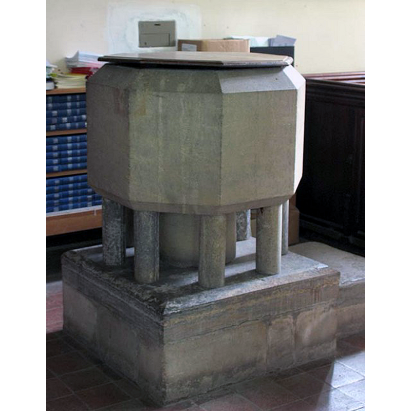
Image copyright © John Salmon, 2007
CC-BY-SA-2.0
Results: 3 records
view of font and cover
Scene Description: the modern font [cf. FontNotes]
Copyright Statement: Image copyright © John Salmon, 2007
Image Source: digital photograph taken 14 May 2005 by John Salmon [www.geograph.org.uk/photo/362607] [accessed 13 December 2015]
Copyright Instructions: CC-BY-SA-2.0
view of church exterior - south view
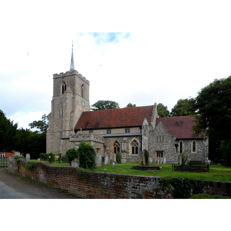
Scene Description: Source caption: "St Mary's church Albury. The earliest parts of the church are C13. The tower was built around 1450."
Copyright Statement: Image copyright © Bikeboy, 2014
Image Source: digital photograph taken 28 June 2014 by Bikeboy [www.geograph.org.uk/photo/4047888] [accessed 13 December 2015]
Copyright Instructions: CC-BY-SA-2.0
view of church interior - nave - looking east
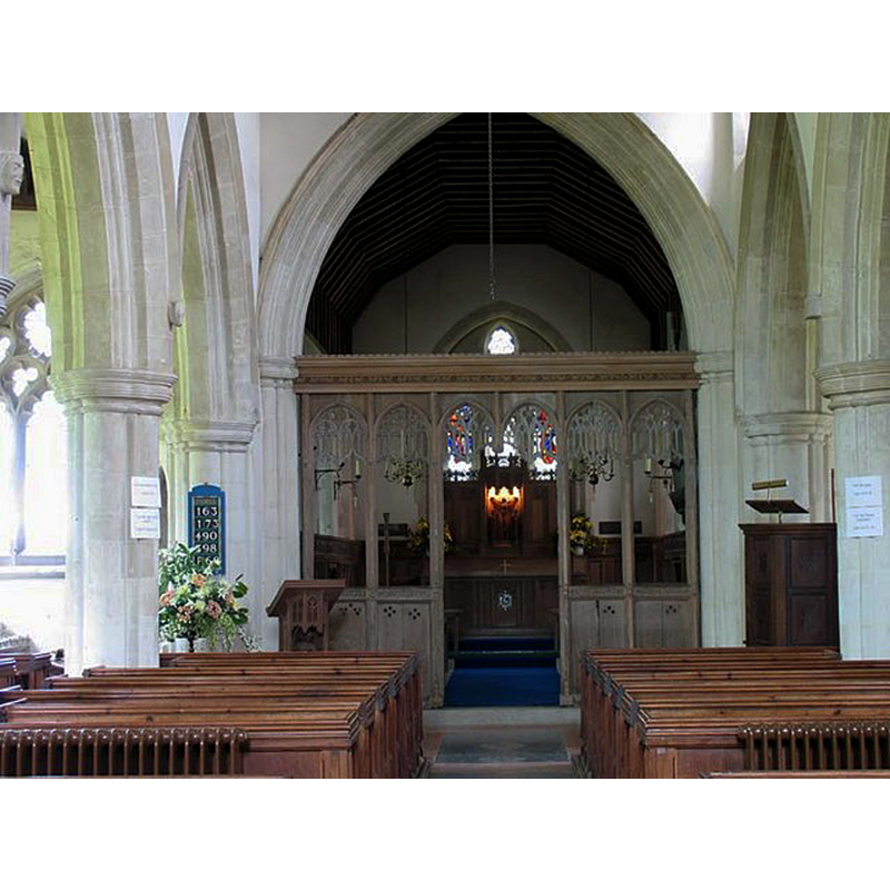
Copyright Statement: Image copyright © John Salmon, 2007
Image Source: digital photograph taken 14 May 2005 by John Salmon [www.geograph.org.uk/photo/362609] [accessed 13 December 2015]
Copyright Instructions: CC-BY-SA-2.0
INFORMATION
Font ID: 13012ALB
Object Type: Baptismal Font1
Font Century and Period/Style: 12th century, Norman
Church / Chapel Name: Parish Church of St. Mary
Font Location in Church: Inside the church
Church Patron Saint(s): St. Mary the Virgin
Church Address: 13 The Bourne, Albury, Hertfordshire SG11 2JG
Site Location: Hertfordshire, East, England, United Kingdom
Directions to Site: Located off (N) the A120, 8 km W of Bishop's Stortford, 8-9 km N of Ware
Ecclesiastic Region: Diocese of St. Albans
Historical Region: Hundred of Edwinstree [in Domesday]
Font Notes:
Click to view
There is an entry for this Albury [variant spelling] in the Domesday survey [http://opendomesday.org/place/TL4324/albury/] [accessed 13 December 2015], but it mentions neither cleric nor church in it. Gough (1792) includes the font at Albury in a group of early fonts with square basins and raised on four columns. Noted in the Royal Commission on Historical Monuments, Hertforshire (1911): "Font. Modern, but in the church is the Purbeck marble stem and one small shaft of a late 12th-century font." [NB: not known whether the basin of the old font disappeared between the 1846 report and the RCHM visit of ca. 1911].
COORDINATES
UTM: 31U 299511 5754232
Latitude & Longitude (Decimal): 51.90271, 0.08558
Latitude & Longitude (DMS): 51° 54′ 9.76″ N, 0° 5′ 8.09″ E
REFERENCES
- Gough, Richard, "Description of the old font in the Church of East Meon, Hampshire, 1789: with some observations on fonts", X, Archaeologia, 1792, pp. 183-209; p. 190
- Great Britain. Royal Commission on Historical Monuments (England), An Inventory of the Historical Monuments in Hertfordshire, London: Printed for His Majesty's Stationary Office by J. Truscott, 1911, p. 29