Oxford No. 9 / Oxenefordt
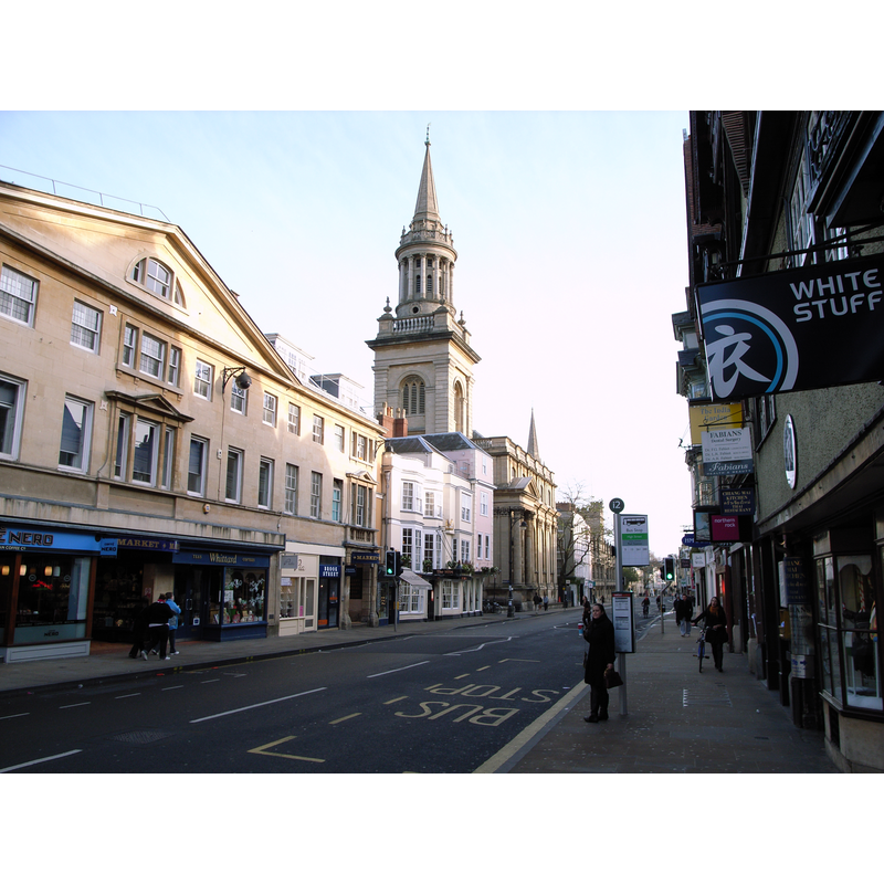
Image copyright © Steve Cadman, 2007
CC-BY-SA-3.0
Results: 1 records
view of church exterior
Copyright Statement: Image copyright © Steve Cadman, 2007
Image Source: digital photograph taken 25 November 2007 by Steve Cadman [http://en.wikipedia.org/wiki/File:All_Saints_Church_Oxford.jpg] [accessed 19 June 2012]
Copyright Instructions: CC-BY-SA-3.0
INFORMATION
Font ID: 12992OXF
Object Type: Baptismal Font1
Font Century and Period/Style: 12th century, Late Norman
Church / Chapel Name: Parish Church of All Saints [originally from Carfax St. Martin's, Oxford] [building is now the library of Lincoln's College]
Font Location in Church: [cf. FontNotes]
Church Patron Saint(s): All Saints
Church Address: North side of High St. at Turl St.
Site Location: Oxfordshire, South East, England, United Kingdom
Ecclesiastic Region: [Diocese of Oxford]
Historical Region: Hundred of Headington
Additional Comments: destroyed font? (the original one from the 12thC church here when spire collapsed in 1700)
Font Notes:
Click to view
There are thirteen entries for Oxford [variant spelling] in the Domesday survey [http://opendomesday.org/place/SP5106/oxford/] [accessed 9 November 2016], two of which mention a church in each. [cf. Index entry for Oxford No. 2]. The Victoria County History (Oxford, vol. 4, 1979) notes that the original church of All Saints dated from ca. 1122, but we have no information on the font from that period; the VCH entry (ibid.) reports that "The 18th-century font (fn. 1 [Bodl. MS. Top Oxon. C 299, f. 44.) was replaced by the font from St. Martin's in 1896" [i.e., the year when Carfax St. Martin's was demolished except for the tower]. [NB: we have no information on the whereabouts of the replaced 18th-century font from All Saints -- the original font of the 12th century may have been destroyed when the spire collapsed om 8 March 1700 destroying most of the church].
COORDINATES
UTM: 30U 620412 5734951
Latitude & Longitude (Decimal): 51.7525, -1.255556
Latitude & Longitude (DMS): 51° 45′ 9″ N, 1° 15′ 20″ W
MEDIUM AND MEASUREMENTS
Material: stone
REFERENCES
- Victoria County History [online], University of London, 1993-. URL: https://www.british-history.ac.uk.