Whitby No. 4 / Witebi
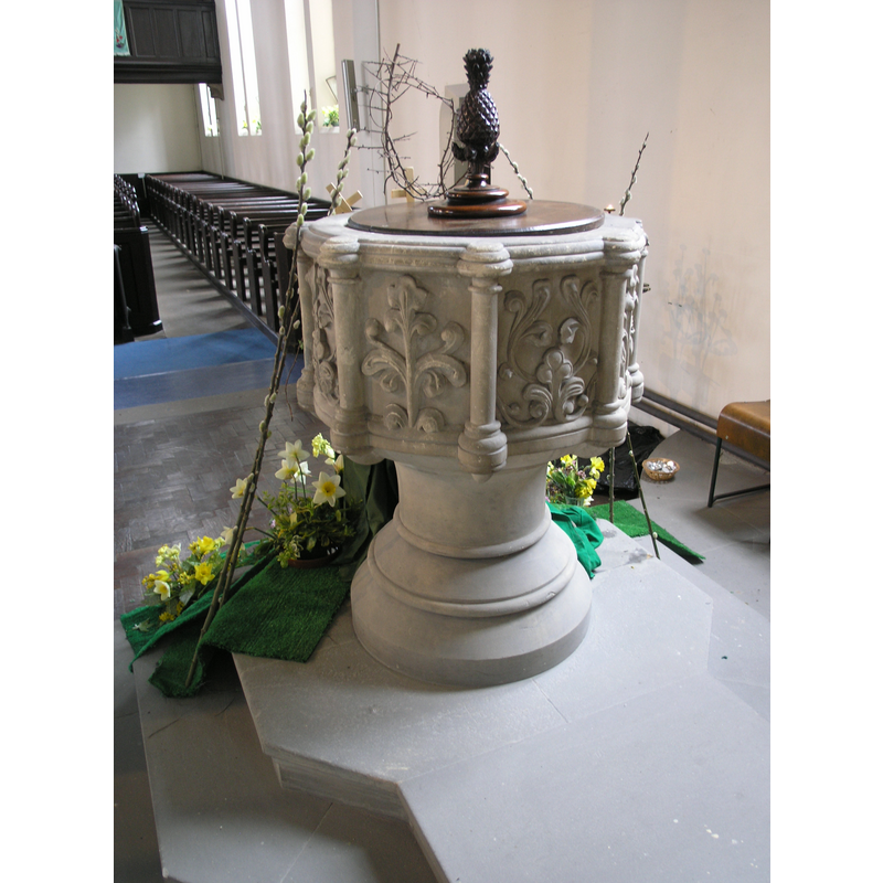
Image copyright © Colin Hinson, 2008
Standing permission
Results: 5 records
view of font and cover
Copyright Statement: Image copyright © Colin Hinson, 2008
Image Source: digital photograph taken April 2007 by Colin Hinson [www.yorkshireCDbooks.com]
Copyright Instructions: Standing permission
view of basin - interior
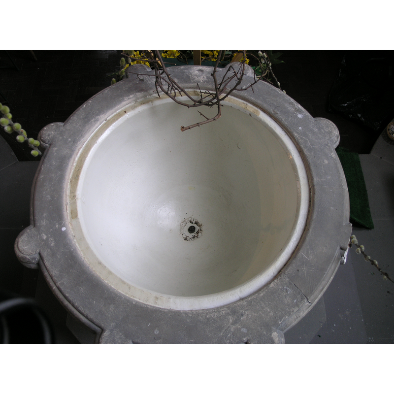
Copyright Statement: Image copyright © Colin Hinson, 2008
Image Source: digital photograph taken April 2007 by Colin Hinson [www.yorkshireCDbooks.com]
Copyright Instructions: Standing permission
view of basin
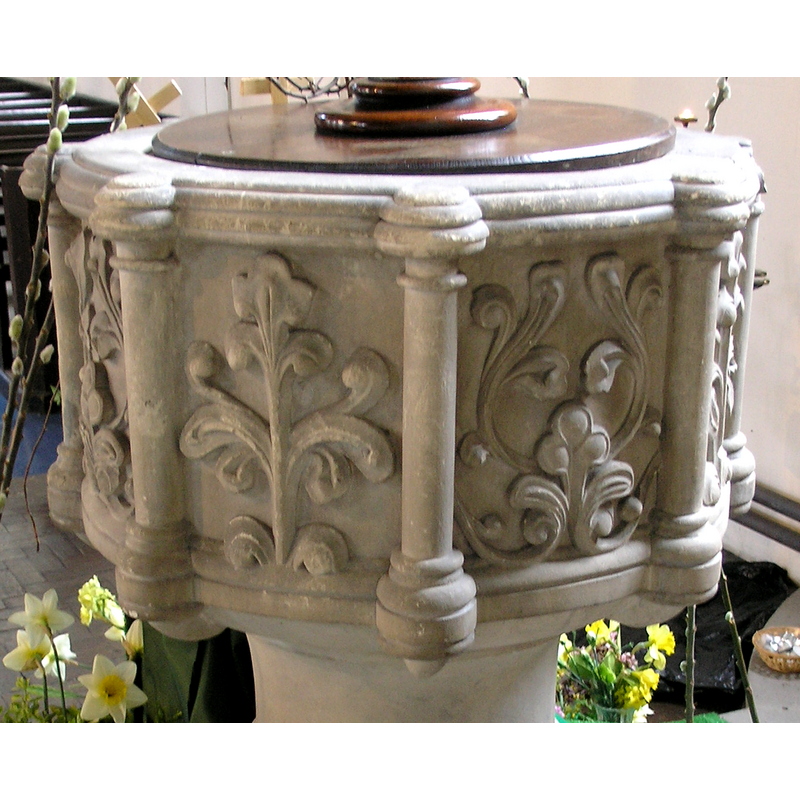
Copyright Statement: Image copyright © Colin Hinson, 2008
Image Source: digital photograph taken April 2007 by Colin Hinson [www.yorkshireCDbooks.com]
Copyright Instructions: Standing permission
view of church exterior in context - southwest view
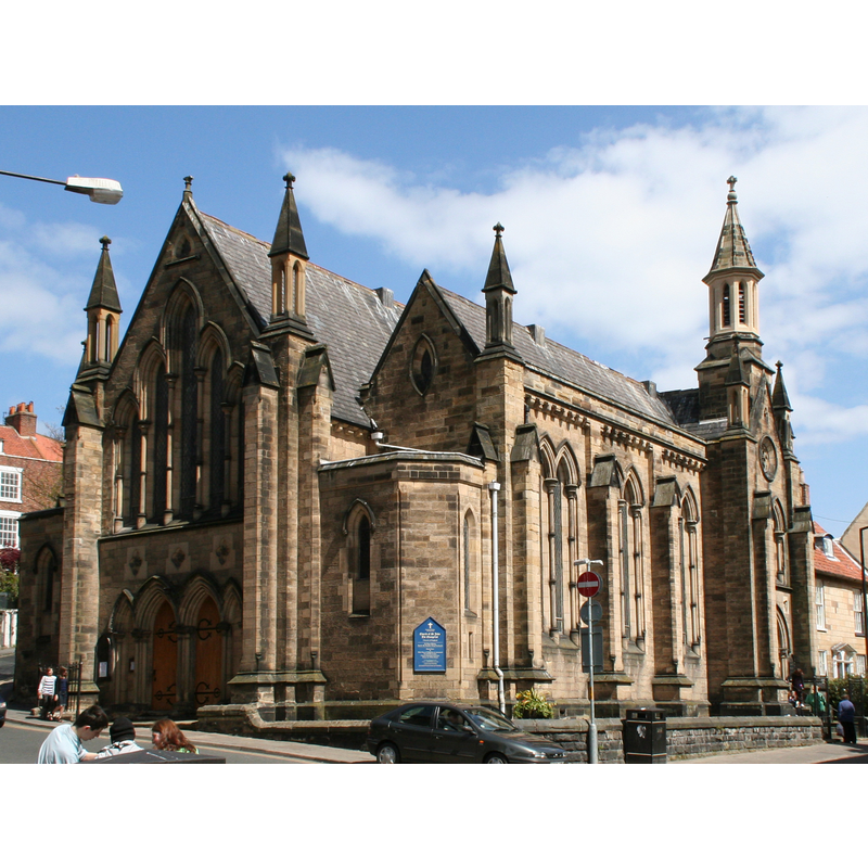
Scene Description: Source caption: "Whitby: Church of St.John the Evangelist"
Copyright Statement: Image copyright © Dr Neil Clifton, 2010
Image Source: edited detail of a digital photograph taken 15 May 2010 by Dr Neil Clifton [www.geograph.org.uk/photo/1878173] [accessed 5 March 2021]
Copyright Instructions: CC-BY-SA-3.0
view of font and cover in context
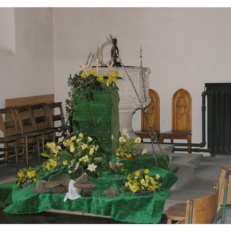
Copyright Statement: Image copyright © Colin Hinson, 2008
Image Source: digital photograph taken April 2007 by Colin Hinson [www.yorkshireCDbooks.com]
Copyright Instructions: Standing permission
INFORMATION
Font ID: 12959WHI
Object Type: Baptismal Font1
Font Century and Period/Style: 19th century, Victorian
Church / Chapel Name: Parish Church of St. John the Evangelist
Font Location in Church: Inside the church
Church Patron Saint(s): St. John the Evangelist
Church Address: 44-48 Baxtergate, Whitby, UK
Site Location: North Yorkshire, Yorkshire and the Humber, England, United Kingdom
Directions to Site: Located off (N) the A171, 2 blocks NW of the train station, on the W banks of the Esk river
Ecclesiastic Region: Diocese of York
Historical Region: Hundred of Langbaurgh
Font Notes:
Click to view
Baptismal font consisting of a cylindrical basin with eight columns that give the basin an octagonal shape, the panels decorated with deeply-carved plant motifs; raised on a plain cylindrical pedestal base and a moulded lower base; on a two-step polygonal plinth. Flat and round wooden cover topped with a pineapple finial.
Credit and Acknowledgements: We are grateful to Colin Hinson, of www.yorkshireCDbooks.com, for his photographs of church and font.
COORDINATES
UTM: 30U 654387 6040150
Latitude & Longitude (Decimal): 54.485453, -0.616686
Latitude & Longitude (DMS): 54° 29′ 7.63″ N, 0° 37′ 0.07″ W
MEDIUM AND MEASUREMENTS
Material: stone
Font Shape: cylindrical, mounted, with columns
Basin Interior Shape: round
Basin Exterior Shape: round (with columns)
Drainage System: centre hole in basin
LID INFORMATION
Date: 19th-century?
Material: wood
Apparatus: no
Notes: [cf. FontNotes]
REFERENCES
- Victoria County History [online], University of London, 1993-. URL: https://www.british-history.ac.uk.