Littleton / Litlinton / Littelton / Littelyngton / Lutleton / Lutlyngton / Lytelyngton
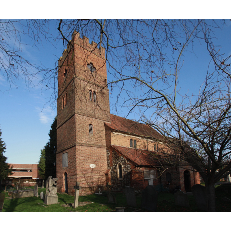
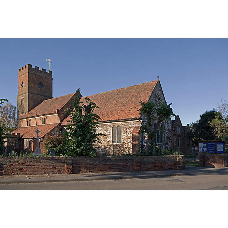
Image copyright © Motacilla, 2014
CC-BY-SA-4.0
Results: 2 records
view of church exterior - southwest view
Copyright Statement: Image copyright © Motacilla, 2014
Image Source: digital photograph taken 2 December 2014 by Motacilla [https://commons.wikimedia.org/wiki/File:Littleton_StMaryMagdalene_SW.jpg] [accessed 29 May 2019]
Copyright Instructions: CC-BY-SA-4.0
view of church exterior - southeast view
Scene Description: Source caption: "Originally dating from the 12th century, it had additions in the 13th, 14th and 16th centuries, with the tower raised in the 18th century. It was restored in the 19th and 20th century".
Copyright Statement: Image copyright © Ian Capper, 2010
Image Source: digital photograph taken 10 November 2010 by Ian Capper [www.geograph.org.uk/photo/2159988] [accessed 29 May 2019]
Copyright Instructions: CC-BY-SA-2.0
INFORMATION
Font ID: 12879LIT
Object Type: Baptismal Font1
Font Century and Period/Style: 13th - 14th century, Medieval
Church / Chapel Name: Parish Church of St. Mary Magdalene
Font Location in Church: Inside the church
Church Patron Saint(s): St. Mary Magdalene
Church Address: Squire's Bridge Rd, Littleton TW17 0QE, UK
Site Location: Surrey, South East, England, United Kingdom
Directions to Site: Located off (N) the B376, 1-2 km W of Laleham, 8 km S of Heathrow airport
Ecclesiastic Region: Diocese of London
Historical Region: Hundred of Spelthorne -- formerly Middlesex
Additional Comments: was there a 12thC church as the VCH entry suggests> If so, disappeared font from that church?
Font Notes:
Click to view
No individual entry found for this Littleton in the Domesday survey. The Victoria County History (Middlesex, vol. 2, 1911) notes: "The church of St. Mary Magdalene is first mentioned in 1209. [...] The chancel seems to date from the 13th century, and the plan of the nave is perhaps of the 12th, a south aisle having been added in the 13th century, and a north aisle in the 14th; the clearstory is of red brick, and probably of the 16th century; and the west tower except for its top stage, and the south porch are perhaps of the same date. [...] The font is octagonal on a round stem, and is ancient but extremely plain. Is pierced and domed wooden cover seems to include a little old woodwork."
COORDINATES
UTM: 30U 676502 5698102
Latitude & Longitude (Decimal): 51.406636, -0.462213
Latitude & Longitude (DMS): 51° 24′ 23.89″ N, 0° 27′ 43.97″ W
MEDIUM AND MEASUREMENTS
Material: stone
Font Shape: octagonal, mounted
Basin Interior Shape: round
Basin Exterior Shape: octagonal
LID INFORMATION
Date: [cf. FontNotes]
Material: wood
Notes: [cf. FontNotes]
REFERENCES
- Victoria County History [online], University of London, 1993-. URL: https://www.british-history.ac.uk.