Laleham / Lalham / Leleham / Lelham / Laneham
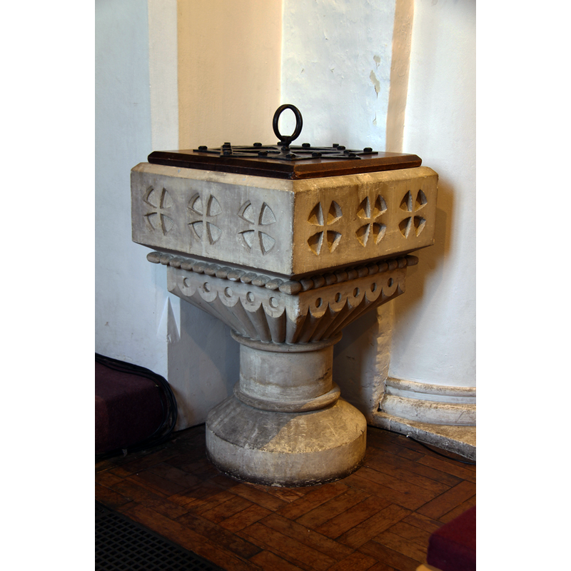
Image copyright © John Salmon, 2016
CC-BY-SA-2.0
Results: 3 records
view of font and cover
Scene Description: the modern font and cover in use
Copyright Statement: Image copyright © John Salmon, 2016
Image Source: digital photograph taken 18 November 2016 by John Salmon [www.geograph.org.uk/photo/5212326] [accessed 28 May 2019]
Copyright Instructions: CC-BY-SA-2.0
view of church exterior - southeast view
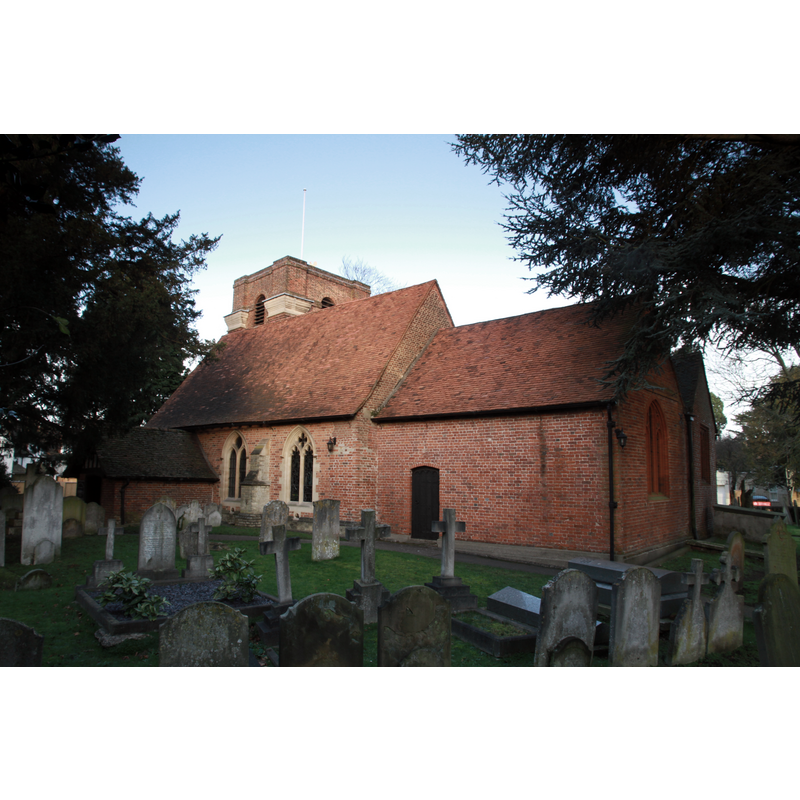
Copyright Statement: Image copyright © Motacilla, 2014
Image Source: digital photograph taken 1 February 2014 by Motacilla [https://commons.wikimedia.org/wiki/File:Laleham_AllSaints_SouthEast_1.jpg] [accessed 28 May 2019]
Copyright Instructions: CC-BY-SA-3.0
view of church interior - looking east
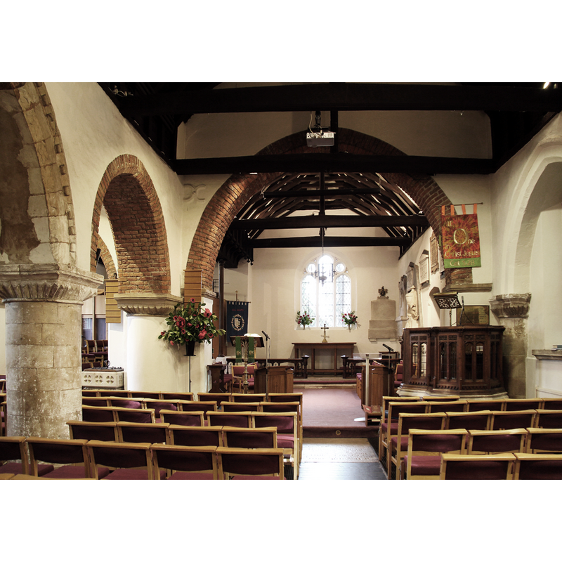
Copyright Statement: Image copyright © John Salmon, 2016
Image Source: digital photograph taken 18 November 2016 by John Salmon [www.geograph.org.uk/photo/5212328] [accessed 28 May 2019]
Copyright Instructions: CC-BY-SA-2.0
INFORMATION
Font ID: 12878LAL
Object Type: Baptismal Font1?
Font Century and Period/Style: 12th century, Late Norman
Church / Chapel Name: Parish Church of All Saints
Church Patron Saint(s): All Saints
Church Address: The Broadway, Laleham, Staines TW18 1SB, UK -- Tel.: +44 1784 441160
Site Location: Surrey, South East, England, United Kingdom
Directions to Site: Located off the B376, on the E banks of the Thames, SE of Staines
Ecclesiastic Region: Diocese of London
Historical Region: Hundred of Spelthorne -- formerly Middlesex
Additional Comments: disappeared font? (the one from the 12thC church here)
Font Notes:
Click to view
There are two entries for Laleham [variant spelling] in the Domesday survey [https://opendomesday.org/place/TQ0568/laleham/] [accessed 28 May 2019] neither of which mentions cleric or church in it. The entry for this parish in the Victoria County History (Middlesex,vol. 2, 1911) notes: "Laleham was from the earliest times a chapelry of Staines, [..] with which it was probably appropriated, but until the 15th century it was served by a separate vicar appointed by the Abbot and Convent of Westminster, patrons of the mother church. [...] By an order made by William, Bishop of London, however (probably between 1426 and 1431), the vicar of Staines was in future to appoint curates to the chapels of that church, but it was provided that if there were any vicar who had been canonically appointed to any of the chapels, he should remain there during his lifetime. [...] The church of ALL SAINTS, a little ivy-grown brick-faced building, though containing some 12th-century work in the nave, has been so altered and rebuilt that little really old work is left [...] The font, at the west end of the north aisle, is modern, in 12th-century style" [NB: the church hoes back to Norman times, but we have no information of the earlier font(s) of this church]
COORDINATES
UTM: 30U 674561 5698287
Latitude & Longitude (Decimal): 51.4089, -0.49
Latitude & Longitude (DMS): 51° 24′ 32.04″ N, 0° 29′ 24″ W
REFERENCES
- Victoria County History [online], University of London, 1993-. URL: https://www.british-history.ac.uk.