North Reston / Ristone
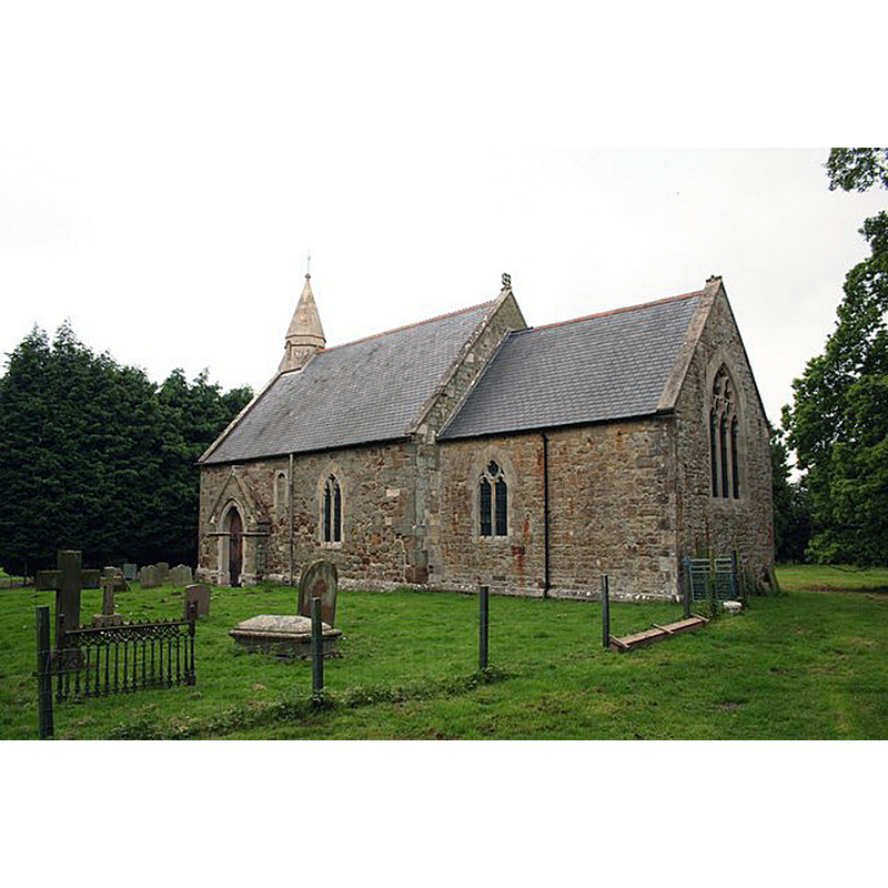
Image copyright © Richard Croft, 2007
CC-BY-SA-2.0
Results: 2 records
view of church exterior - southeast view
Scene Description: Source caption: "St.Edith's church, North Reston. Mostly by R.J.Withers 1868-9 but re-using Norman and Medieval masonry"
Copyright Statement: Image copyright © Richard Croft, 2007
Image Source: digital photograph taken 13 June 2007 by Richard Croft [www.geograph.org.uk/photo/465897] [accessed 28 July 2019]
Copyright Instructions: CC-BY-SA-2.0
design element - motifs - niche - cusped niche
![the modern font? [cf. Font notes]](/static-50478a99ec6f36a15d6234548c59f63da52304e5/others/image_not_available.jpg)
Scene Description: the modern font? [cf. Font notes]
![the modern font? [cf. Font notes]](/static-50478a99ec6f36a15d6234548c59f63da52304e5/bsi-testing-site/others/image_not_available.jpg)
INFORMATION
Font ID: 12731RES
Object Type: Baptismal Font1?
Font Century and Period/Style: 11th century, Pre-Conquest? / Norman
Church / Chapel Name: Parish Church of St. Edith
Font Location in Church: [cf. FontNotes]
Church Patron Saint(s): St. Edith
Church Address: Church Ln, North Reston, Louth LN11 8JD, UK -- Tel.: +44 507 603008 / +44 507 610247
Site Location: Lincolnshire, East Midlands, England, United Kingdom
Directions to Site: Located on the A157, SW of Louth
Ecclesiastic Region: Diocese of Lincoln
Historical Region: Hundred of Louthesk
Additional Comments: disappeared font? (the one from the Domesday-time church here)
Font Notes:
Click to view
There is an entry for [North] Reston [variant spelling] in the Domesday survey [https://opendomesday.org/place/TF3883/north-reston/] [accessed 28 July 2019]; it reports a church in it. Pevsner, Harris and Antram (1989) notes: "Font. Octagonal, Perp[endicular], with on each side three cusped niches and above them, as tracery, six tiny ones." [NB: the font described in Pevsner... must be modern]. The entry for this church in Historic England [Listing NGR: TF3828483728] notes: "Parish church, now closed. C11, largely rebuilt 1868 by R. T. Withers, with some reused early medieval material. [...] All fittings are C19."
COORDINATES
UTM: 31U 305251 5913254
Latitude & Longitude (Decimal): 53.33255, 0.0752
Latitude & Longitude (DMS): 53° 19′ 57.18″ N, 0° 4′ 30.72″ E
REFERENCES
- Pevsner, Nikolaus, Lincolnshire, London: Penguin, 1989, p. 586