Moorlinch / Moorlynch / Murlinch
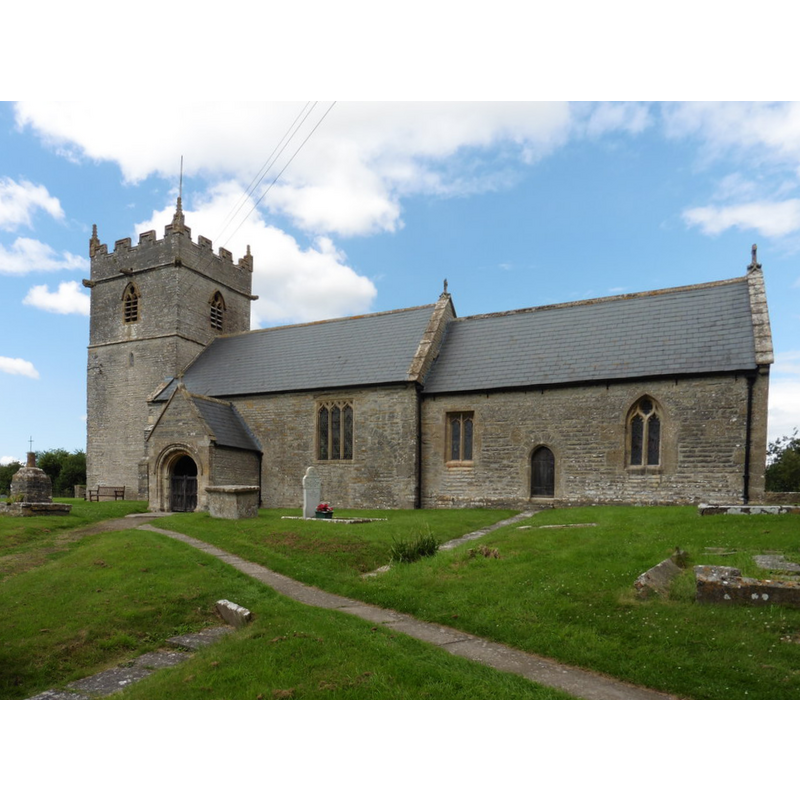
Image copyright © Roger Cornfoot, 2016
CC-BY-SA-2.0
Results: 3 records
view of church exterior - south view
Scene Description: EXT S digital photograph taken 13 July 2016 by Roger Cornfoot [www.geograph.org.uk/photo/5034568] [accessed 1 May 2018]
FONT digital photograph in PINTREST [www.pinterest.ca/pin/175781191676432574/] [accessed 1 May 2019] NO PERMIT
Copyright Statement: Image copyright © Roger Cornfoot, 2016
Image Source: digital photograph taken 13 July 2016 by Roger Cornfoot [www.geograph.org.uk/photo/5034568] [accessed 1 May 2018]
Copyright Instructions: CC-BY-SA-2.0
view of font and cover

Copyright Statement: Image copyright © Pinterest, 2018
Image Source: digital photograph in PINTREST [www.pinterest.ca/pin/175781191676432574/] [accessed 1 May 2019]
Copyright Instructions: PERMISSION NOT AVAILABLE -- IMAGE NOT FOR PUBLIC USE
design element - motifs - rope moulding
Copyright Statement: Image copyright © Pinterest, 2018
Image Source: digital photograph in PINTREST [www.pinterest.ca/pin/175781191676432574/] [accessed 1 May 2019]
Copyright Instructions: PERMISSION NOT AVAILABLE -- IMAGE NOT FOR PUBLIC USE
INFORMATION
Font ID: 12568MOO
Object Type: Baptismal Font1
Font Century and Period/Style: 12th century, Late Norman
Church / Chapel Name: Parish Church of the Blessed Virgin Mary
Font Location in Church: Inside the church
Church Patron Saint(s): [dedicated to St. Mary in 1540] [earlier dedication unknown] (VCH (Somerset, 2004))
Church Address: Moor Road, Moorlinch TA7 9BY , UK
Site Location: Somerset, South West, England, United Kingdom
Directions to Site: Located off (S) the A39, 10 km E of Bridgewater
Ecclesiastic Region: Diocese of Bath & Wells
Historical Region: Hundred of Whitley
Additional Comments: recycled font (from the old 12th-century church) -- disappeared font? (the one from the pre-Conquest church here?)
Font Notes:
Click to view
No entry found for Moorlinch in the Domesday survey. Wade & Wade (1929) report a Norman font in this church. The entry for this parish in the Victoria County History (Somerset, vol. 8, 2004) notes: "Moorlinch church is mentioned in charters of King Ine of 725 and of King Edgar of 971, neither considered authentic, in which it was said to rank as one of the churches of the abbey exempt from episcopal jurisdiction. [...] As mother church of Catcott, Chilton Polden, Edington, Stawell, and Sutton Mallet it has some of the characteristics of a pre-Conquest minster and it was certainly in existence by 1175-6 when it formed part of the new archdeaconry of Glastonbury [...] The nave dates from the 12th century, from which survive the font and materials reused in the south porch." Not mentioned in Pevsner (1958). The entry for this church in Historic England [Listing NGR: ST3980336886] reports: "Restored Norman tub font with cable banding, C19 cover."
COORDINATES
UTM: 30U 509685 5664068
Latitude & Longitude (Decimal): 51.128, -2.8616
Latitude & Longitude (DMS): 51° 7′ 40.8″ N, 2° 51′ 41.76″ W
MEDIUM AND MEASUREMENTS
Material: stone
Font Shape: tub-shaped, mounted
Basin Interior Shape: round
Basin Exterior Shape: octagonal
LID INFORMATION
Date: moder
Material: wood, oak?
Apparatus: no
Notes: round and flat, with metal decoration and handle; modern
REFERENCES
- Victoria County History [online], University of London, 1993-. URL: https://www.british-history.ac.uk.
- Wade, G.H., Somerset, London: Methurn & Co., 1929, [http://www.gutenberg.org/files/12287/12287-h/12287-h.htm] [accessed 30 March 2008]